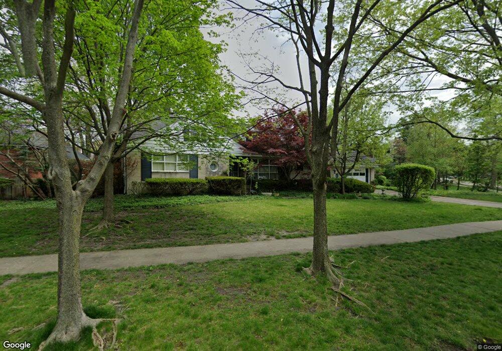
383 Bartram Rd Riverside, IL 60546
Estimated Value: $800,000 - $877,000
3
Beds
4
Baths
3,089
Sq Ft
$272/Sq Ft
Est. Value
About This Home
This home is located at 383 Bartram Rd, Riverside, IL 60546 and is currently estimated at $839,312, approximately $271 per square foot. 383 Bartram Rd is a home located in Cook County with nearby schools including A F Ames Elementary School, L J Hauser Jr High School, and Riverside Brookfield High School.
Ownership History
Date
Name
Owned For
Owner Type
Purchase Details
Closed on
Sep 24, 2001
Sold by
Jones Larry and Jones Laura
Bought by
Duba Douglas R and Duba Diane E
Current Estimated Value
Purchase Details
Closed on
Jan 11, 2000
Sold by
Old Kent Bank
Bought by
Nancy K Teel Revocable Trust
Create a Home Valuation Report for This Property
The Home Valuation Report is an in-depth analysis detailing your home's value as well as a comparison with similar homes in the area
Home Values in the Area
Average Home Value in this Area
Purchase History
| Date | Buyer | Sale Price | Title Company |
|---|---|---|---|
| Duba Douglas R | -- | -- | |
| Jones Larry | $530,000 | -- | |
| Nancy K Teel Revocable Trust | -- | -- |
Source: Public Records
Tax History
| Year | Tax Paid | Tax Assessment Tax Assessment Total Assessment is a certain percentage of the fair market value that is determined by local assessors to be the total taxable value of land and additions on the property. | Land | Improvement |
|---|---|---|---|---|
| 2025 | $19,414 | $59,457 | $9,075 | $50,382 |
| 2024 | $19,414 | $59,457 | $9,075 | $50,382 |
| 2023 | $10,756 | $64,000 | $9,075 | $54,925 |
| 2022 | $10,756 | $31,502 | $7,941 | $23,561 |
| 2021 | $10,368 | $31,500 | $7,940 | $23,560 |
| 2020 | $10,109 | $31,500 | $7,940 | $23,560 |
| 2019 | $12,944 | $40,205 | $7,260 | $32,945 |
| 2018 | $12,561 | $40,205 | $7,260 | $32,945 |
| 2017 | $12,174 | $40,205 | $7,260 | $32,945 |
| 2016 | $11,446 | $35,000 | $6,352 | $28,648 |
| 2015 | $11,141 | $35,000 | $6,352 | $28,648 |
| 2014 | $12,993 | $40,985 | $6,352 | $34,633 |
| 2013 | $10,960 | $37,760 | $6,352 | $31,408 |
Source: Public Records
Map
Nearby Homes
- 367 Bartram Rd
- 315 Bartram Rd
- 101 Southcote Rd
- 410 Repton Rd
- 305 Desplaines Ave
- 2527 Keystone Ave
- 8117 W 30th St
- 231 Bartram Rd
- 2433 Keystone Ave
- 236 Maplewood Rd
- 220 Maplewood Rd
- 2311 Park Ave
- 2245 Des Plaines Ave Unit A
- 2230 Keystone Ave
- 2233 Des Plaines Ave
- 269 Shenstone Rd
- 2252 Northgate Ave
- 10 E Burlington St Unit 2C
- 10 E Burlington St Unit 2B
- 478 Kent Rd
Your Personal Tour Guide
Ask me questions while you tour the home.