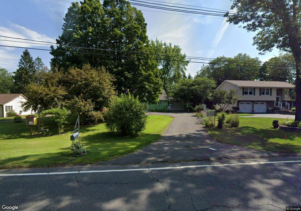
384 N Maple St Enfield, CT 06082
Estimated Value: $348,000 - $374,755
3
Beds
2
Baths
2,394
Sq Ft
$148/Sq Ft
Est. Value
About This Home
This home is located at 384 N Maple St, Enfield, CT 06082 and is currently estimated at $355,439, approximately $148 per square foot. 384 N Maple St is a home located in Hartford County with nearby schools including Prudence Crandall Elementary School, Nathan Hale Elementary School, and Enfield High School.
Ownership History
Date
Name
Owned For
Owner Type
Purchase Details
Closed on
Sep 21, 1992
Sold by
Rondinone Robert and Rondinone Brenda
Bought by
Jasenec Robert
Current Estimated Value
Purchase Details
Closed on
Feb 3, 1987
Sold by
Bergamim Fred
Bought by
Rondinone Robt
Create a Home Valuation Report for This Property
The Home Valuation Report is an in-depth analysis detailing your home's value as well as a comparison with similar homes in the area
Home Values in the Area
Average Home Value in this Area
Purchase History
We collect this data history from publicly available records. To have your information removed, we recommend requesting removal directly through your county’s website.
| Date | Buyer | Sale Price | Title Company |
|---|---|---|---|
| Jasenec Robert | $110,500 | -- | |
| Rondinone Robt | $89,900 | -- |
Source: Public Records
Mortgage History
We collect this data history from publicly available records. To have your information removed, we recommend requesting removal directly through your county’s website.
| Date | Status | Borrower | Loan Amount |
|---|---|---|---|
| Open | Rondinone Robt | $86,450 | |
| Closed | Rondinone Robt | $104,000 | |
| Closed | Rondinone Robt | $103,000 | |
| Closed | Rondinone Robt | $102,400 |
Source: Public Records
Tax History
| Year | Tax Paid | Tax Assessment Tax Assessment Total Assessment is a certain percentage of the fair market value that is determined by local assessors to be the total taxable value of land and additions on the property. | Land | Improvement |
|---|---|---|---|---|
| 2025 | $6,074 | $171,100 | $49,200 | $121,900 |
| 2024 | $5,913 | $171,100 | $49,200 | $121,900 |
| 2023 | $5,879 | $171,100 | $49,200 | $121,900 |
| 2022 | $5,414 | $171,100 | $49,200 | $121,900 |
| 2021 | $5,361 | $138,770 | $40,790 | $97,980 |
| 2020 | $5,305 | $138,770 | $40,790 | $97,980 |
| 2019 | $5,166 | $138,770 | $40,790 | $97,980 |
| 2018 | $5,051 | $138,770 | $40,790 | $97,980 |
| 2017 | $4,778 | $138,770 | $40,790 | $97,980 |
| 2016 | $4,892 | $147,520 | $44,870 | $102,650 |
| 2015 | $4,749 | $147,520 | $44,870 | $102,650 |
| 2014 | $4,637 | $147,520 | $44,870 | $102,650 |
Source: Public Records
Map
Nearby Homes
- 449 The Meadows
- 74 Birch Rd
- 63 Dartmoor
- 537 George Washington Rd
- 201 Ashmead Commons Unit 201
- 302 Ashmead Commons Unit 302
- 63 Meadowlark Dr
- 304 Brainard Rd Unit 29
- 39 Liberty Ln
- 54 Liberty Ln
- 56 Liberty Ln
- 46 Liberty Ln
- 43 Liberty Ln
- 41 Liberty Ln
- 59 Liberty Ln
- 44 Liberty Ln
- 60 Liberty Ln
- 42 Liberty Ln
- 50 Liberty Ln
- 15 Pine Hill Rd
- 382 N Maple St
- 386 N Maple St
- 380 N Maple St
- 388 N Maple St
- 378 N Maple St
- 383 N Maple St
- 827 Maple Rd
- 385 N Maple St
- 839 Maple Rd
- 851 Maple Rd
- 863 Maple Rd
- 812 Maple Rd
- 246 Sheffield Ave
- 375 N Maple St
- 33 Olde Maple Farms
- 33 Olde Maple Farms Unit 33
- 259 Sheffield Ave
- 41 Olde Maple Farms
- 39 Olde Maple Farms
- 37 Olde Maple Farms
Your Personal Tour Guide
Ask me questions while you tour the home.