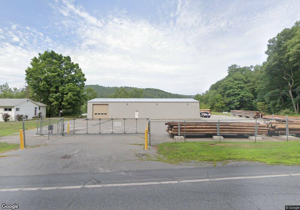
384 Plainfield Rd West Lebanon, NH 03784
Estimated Value: $3,752,177
--
Bed
--
Bath
--
Sq Ft
1.5
Acres
About This Home
This home is located at 384 Plainfield Rd, West Lebanon, NH 03784 and is currently estimated at $3,752,177. 384 Plainfield Rd is a home located in Grafton County with nearby schools including Mt. Lebanon School, Lebanon Middle School, and Lebanon High School.
Ownership History
Date
Name
Owned For
Owner Type
Purchase Details
Closed on
Dec 10, 2020
Sold by
Upper Vly Sand & Gravel Llc
Bought by
Liberty Energy Utilities
Current Estimated Value
Purchase Details
Closed on
Apr 26, 2000
Sold by
Eaborn Dennis
Bought by
Moulton Carl L
Home Financials for this Owner
Home Financials are based on the most recent Mortgage that was taken out on this home.
Original Mortgage
$230,500
Interest Rate
8.23%
Mortgage Type
Commercial
Create a Home Valuation Report for This Property
The Home Valuation Report is an in-depth analysis detailing your home's value as well as a comparison with similar homes in the area
Home Values in the Area
Average Home Value in this Area
Purchase History
| Date | Buyer | Sale Price | Title Company |
|---|---|---|---|
| Liberty Energy Utilities | $2,400,000 | None Available | |
| Moulton Carl L | $240,000 | -- |
Source: Public Records
Mortgage History
| Date | Status | Borrower | Loan Amount |
|---|---|---|---|
| Previous Owner | Moulton Carl L | $230,500 |
Source: Public Records
Tax History Compared to Growth
Tax History
| Year | Tax Paid | Tax Assessment Tax Assessment Total Assessment is a certain percentage of the fair market value that is determined by local assessors to be the total taxable value of land and additions on the property. | Land | Improvement |
|---|---|---|---|---|
| 2024 | $16,622 | $632,500 | $366,600 | $265,900 |
| 2023 | $15,357 | $632,500 | $366,600 | $265,900 |
| 2022 | $13,610 | $590,700 | $366,600 | $224,100 |
| 2021 | $8,345 | $309,300 | $101,900 | $207,400 |
| 2019 | $8,537 | $281,100 | $101,900 | $179,200 |
| 2018 | $8,354 | $281,100 | $101,900 | $179,200 |
| 2017 | $8,174 | $281,100 | $101,900 | $179,200 |
| 2016 | $7,907 | $281,100 | $101,900 | $179,200 |
| 2015 | $7,760 | $281,100 | $101,900 | $179,200 |
Source: Public Records
Map
Nearby Homes
- 25 Maxfield Ln
- 6 Rockwood St
- 561 Neal Rd
- 266 Poverty Ln Unit 1A
- 15 Old Pine Tree Cemetery Rd
- 27 Ash St
- 307 Remick Rd
- 3 Maple St
- 13 Bullard St Unit 15
- 722 Fairview Terrace
- 1049 N Main St
- 36-48 S Main St
- 48 Fairview Terrace
- 35 Railroad Row Unit C3-2
- 25 Marshall Ave
- 4 Black Bear Ct
- 149 Old County Rd
- 40 Union St
- 184 Hazen St
- 0 Va Cutoff Rd
- 384 N Plainfield Rd
- 11 Trues Brook Rd
- 17 Trues Brook Rd
- 409 Plainfield Rd
- 415 Plainfield Rd
- 423 Plainfield Rd
- 34 Trues Brook Rd
- 428 Plainfield Rd
- 429 Plainfield Rd
- 40 Trues Brook Rd
- 44 Trues Brook Rd
- 53 Trues Brook Rd
- 48 Trues Brook Rd
- 3 Hall Rd
- 1989 Connecticut River Rd
- 10 Hall Rd
- 77 Trues Brook Rd
- 14 Hall Rd
- 84 Trues Brook Rd
- 17 Hall Rd