38484 Mckenzie Hwy Springfield, OR 97478
Estimated Value: $421,573 - $562,000
4
Beds
1
Bath
1,762
Sq Ft
$271/Sq Ft
Est. Value
About This Home
This home is located at 38484 Mckenzie Hwy, Springfield, OR 97478 and is currently estimated at $477,143, approximately $270 per square foot. 38484 Mckenzie Hwy is a home located in Lane County with nearby schools including Walterville Elementary School, Briggs Middle School, and Thurston High School.
Ownership History
Date
Name
Owned For
Owner Type
Purchase Details
Closed on
May 12, 2004
Sold by
Wing David and Wing Leonard David
Bought by
Wing David and Wing Rebbecca M
Current Estimated Value
Home Financials for this Owner
Home Financials are based on the most recent Mortgage that was taken out on this home.
Original Mortgage
$106,500
Interest Rate
5.5%
Mortgage Type
New Conventional
Create a Home Valuation Report for This Property
The Home Valuation Report is an in-depth analysis detailing your home's value as well as a comparison with similar homes in the area
Purchase History
| Date | Buyer | Sale Price | Title Company |
|---|---|---|---|
| Wing David | -- | Western Pioneer Title Co |
Source: Public Records
Mortgage History
| Date | Status | Borrower | Loan Amount |
|---|---|---|---|
| Closed | Wing David | $106,500 |
Source: Public Records
Tax History
| Year | Tax Paid | Tax Assessment Tax Assessment Total Assessment is a certain percentage of the fair market value that is determined by local assessors to be the total taxable value of land and additions on the property. | Land | Improvement |
|---|---|---|---|---|
| 2025 | $2,262 | $192,178 | -- | -- |
| 2024 | $2,105 | $186,581 | -- | -- |
| 2023 | $2,105 | $181,147 | $0 | $0 |
| 2022 | $2,009 | $175,871 | $0 | $0 |
| 2021 | $1,964 | $170,749 | $0 | $0 |
| 2020 | $1,905 | $165,776 | $0 | $0 |
| 2019 | $1,808 | $160,948 | $0 | $0 |
| 2018 | $1,750 | $151,710 | $0 | $0 |
| 2017 | $1,622 | $151,710 | $0 | $0 |
| 2016 | $1,579 | $147,291 | $0 | $0 |
| 2015 | $1,537 | $143,001 | $0 | $0 |
| 2014 | $1,489 | $138,836 | $0 | $0 |
Source: Public Records
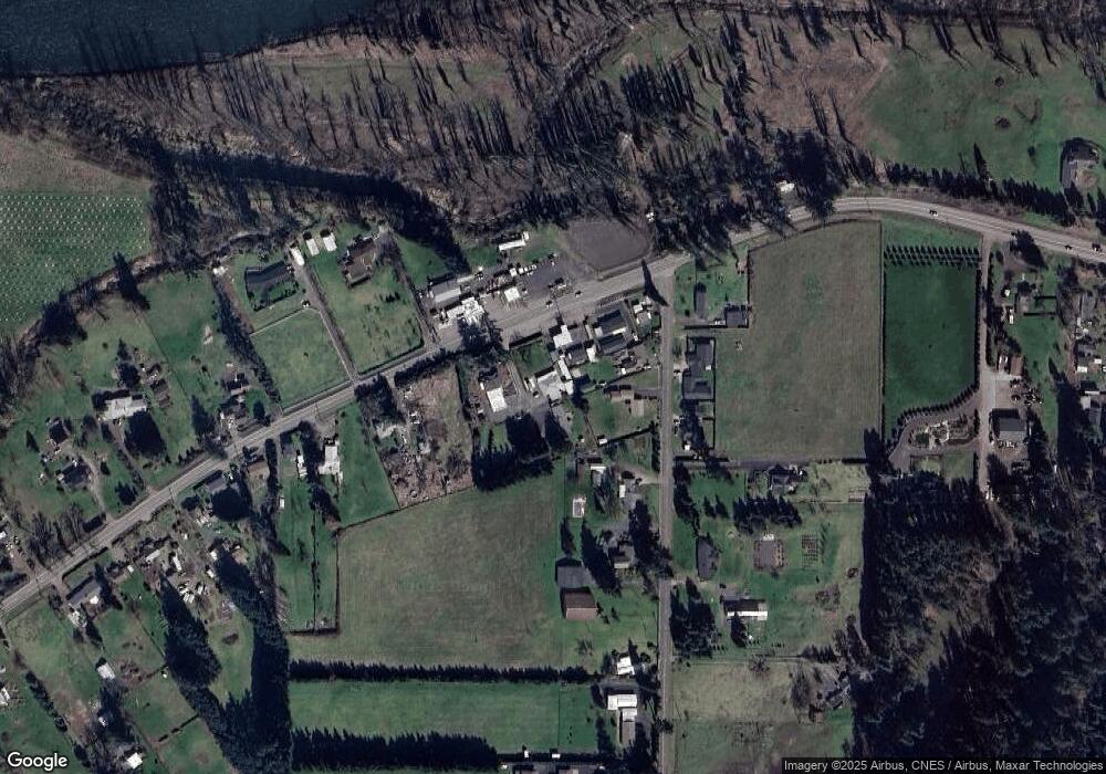
Map
Nearby Homes
- 87851 Cedar Flat Rd
- 38350 Mckenzie Hwy
- 38730 Natures Garden St
- 38220 Boscage Ln
- 0 Boscage Ln
- 87250 Cedar Flat Rd
- 39125 Easton Ln
- 39464 Walterville Ln
- 88692 Ermi Bee Rd
- 0 S B St Unit 488241963
- 37640 Upper Camp Creek Rd
- 37276 Camp Creek Rd
- 7438 A St
- 0 S 73rd St Unit 24191573
- 0 Omlid Dr Unit 1 706471345
- 0 Omlid Dr Unit 11
- 0 Omlid Dr Unit 27 796722689
- 0 Omlid Dr Unit 26 256458253
- 0 Omlid Dr Unit 10
- 0 Omlid Dr Unit 3 154724851
- 38498 Mckenzie Hwy
- 38480 Mckenzie Hwy
- 38474 Mckenzie Hwy
- 87866 Cedar Flat Rd
- 38500 Mckenzie Hwy
- 38491 Mckenzie Hwy
- 38493 Mckenzie Hwy
- 87882 Cedar Flat Rd
- 87838 Cedar Flat Rd
- 87871 Cedar Flat Rd
- 38450 Mckenzie Hwy
- 87885 Cedar Flat Rd
- 87820 Cedar Flat Rd
- 38461 Mckenzie Hwy
- 87817 Cedar Flat Rd
- 38424 Mckenzie Hwy
- 87835 Cedar Flat Rd
- 38535 Mckenzie Hwy
- 38437 Mckenzie Hwy
- 38414 Mckenzie Hwy
Your Personal Tour Guide
Ask me questions while you tour the home.