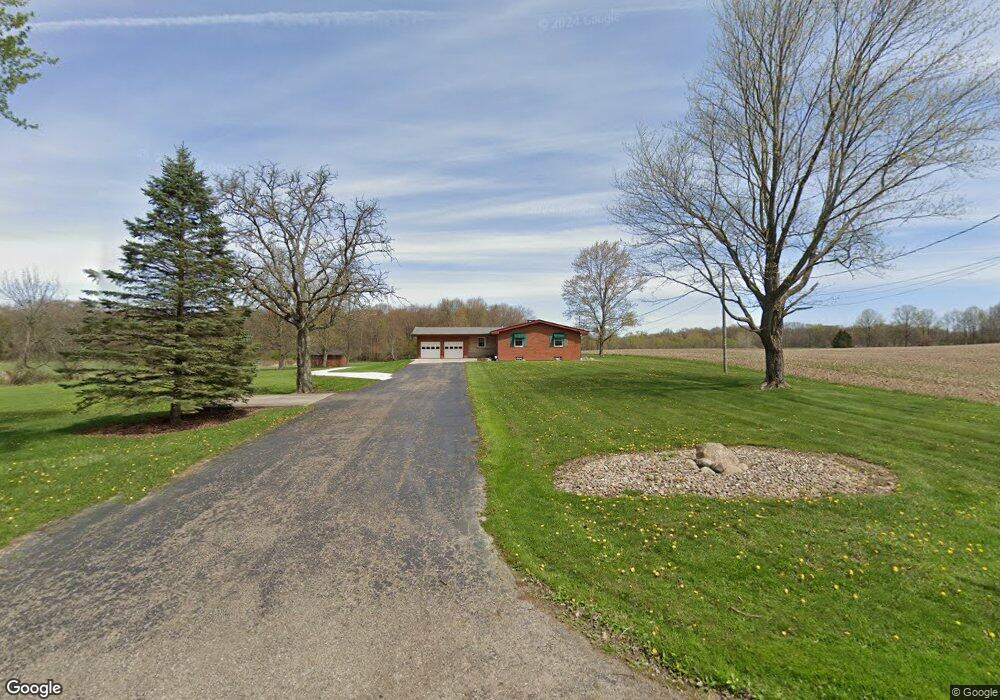
3878 Bower Rd Rootstown, OH 44272
Estimated Value: $307,241 - $416,000
3
Beds
1
Bath
1,647
Sq Ft
$209/Sq Ft
Est. Value
About This Home
This home is located at 3878 Bower Rd, Rootstown, OH 44272 and is currently estimated at $343,810, approximately $208 per square foot. 3878 Bower Rd is a home located in Portage County with nearby schools including Rootstown Middle School - Schnee Building and Rootstown High School.
Ownership History
Date
Name
Owned For
Owner Type
Purchase Details
Closed on
Jan 13, 2017
Sold by
Jarvis Marilyn G
Bought by
Jarvis Ashley M and Jarvis Erica L
Current Estimated Value
Purchase Details
Closed on
May 7, 2012
Sold by
Ward James A and Ward Donna L
Bought by
Jarvis Jimmie and Jarvis Marilyn G
Purchase Details
Closed on
Jan 1, 1990
Bought by
Ward James A and Ward Donna L
Create a Home Valuation Report for This Property
The Home Valuation Report is an in-depth analysis detailing your home's value as well as a comparison with similar homes in the area
Purchase History
| Date | Buyer | Sale Price | Title Company |
|---|---|---|---|
| Jarvis Ashley M | -- | Accommodation | |
| Jarvis Jimmie | $175,000 | Attorney | |
| Ward James A | -- | -- |
Source: Public Records
Tax History
| Year | Tax Paid | Tax Assessment Tax Assessment Total Assessment is a certain percentage of the fair market value that is determined by local assessors to be the total taxable value of land and additions on the property. | Land | Improvement |
|---|---|---|---|---|
| 2025 | $4,348 | $104,760 | $25,550 | $79,210 |
| 2024 | $4,179 | $104,760 | $25,550 | $79,210 |
| 2023 | $3,481 | $77,810 | $22,540 | $55,270 |
| 2022 | $3,449 | $77,810 | $22,540 | $55,270 |
| 2021 | $3,184 | $71,610 | $22,540 | $49,070 |
| 2020 | $2,910 | $63,040 | $21,460 | $41,580 |
| 2019 | $2,920 | $63,040 | $21,460 | $41,580 |
| 2018 | $2,845 | $57,260 | $22,820 | $34,440 |
| 2017 | $2,845 | $57,260 | $22,820 | $34,440 |
| 2016 | $2,812 | $57,260 | $22,820 | $34,440 |
| 2015 | $2,844 | $57,260 | $22,820 | $34,440 |
| 2014 | $2,897 | $57,260 | $22,820 | $34,440 |
| 2013 | $2,878 | $57,260 | $22,820 | $34,440 |
Source: Public Records
Map
Nearby Homes
- 3701 State Route 44
- 3689 Cherry Hill
- 4079 Siefer Dr
- 3637 Old Forge Rd
- 3021 Hartville Rd
- V/L 2 Lynn Rd
- V/L Lynn Rd
- 3981 March Creek Ln Unit 37
- 4556 Rootstown Rd
- 3080 Saxe Rd
- 4200 Hattrick Rd
- 4415 Farmette Dr
- sub lot Lane Ave
- 4140 Sandy Lake Rd
- 4184 Hunters Ridge Dr
- 3583 Randolph Rd
- 4958 Bassett Rd
- 2978 Sandy Lake Rd
- 4058 Bayberry Knoll Ln
- 2326 Orchard Cir
Your Personal Tour Guide
Ask me questions while you tour the home.