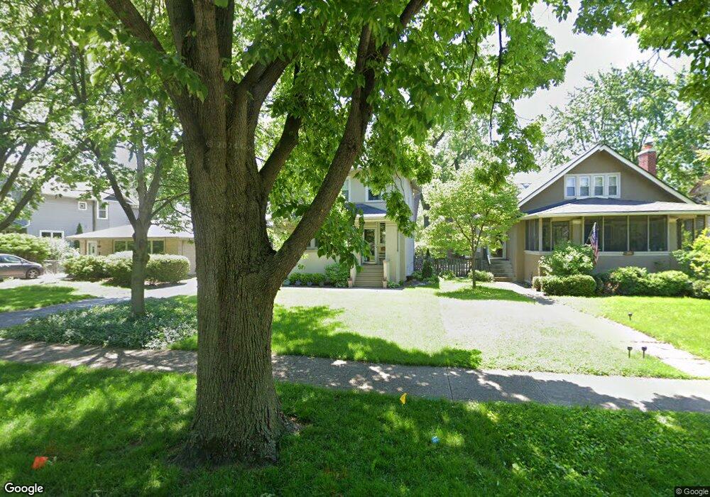
389 Herrick Rd Riverside, IL 60546
Estimated Value: $510,319 - $573,000
4
Beds
2
Baths
1,500
Sq Ft
$356/Sq Ft
Est. Value
About This Home
This home is located at 389 Herrick Rd, Riverside, IL 60546 and is currently estimated at $534,580, approximately $356 per square foot. 389 Herrick Rd is a home located in Cook County with nearby schools including Blythe Park Elementary School, L J Hauser Jr High School, and Riverside Brookfield High School.
Ownership History
Date
Name
Owned For
Owner Type
Purchase Details
Closed on
Jul 15, 2003
Sold by
Swae Mary Ellen
Bought by
Carlson Joseph O and Carlson Karen
Current Estimated Value
Home Financials for this Owner
Home Financials are based on the most recent Mortgage that was taken out on this home.
Original Mortgage
$220,000
Interest Rate
5.31%
Mortgage Type
Balloon
Create a Home Valuation Report for This Property
The Home Valuation Report is an in-depth analysis detailing your home's value as well as a comparison with similar homes in the area
Home Values in the Area
Average Home Value in this Area
Purchase History
| Date | Buyer | Sale Price | Title Company |
|---|---|---|---|
| Carlson Joseph O | $332,500 | Cti |
Source: Public Records
Mortgage History
| Date | Status | Borrower | Loan Amount |
|---|---|---|---|
| Closed | Carlson Joseph O | $220,000 |
Source: Public Records
Tax History
| Year | Tax Paid | Tax Assessment Tax Assessment Total Assessment is a certain percentage of the fair market value that is determined by local assessors to be the total taxable value of land and additions on the property. | Land | Improvement |
|---|---|---|---|---|
| 2025 | $11,096 | $38,000 | $13,205 | $24,795 |
| 2024 | $11,096 | $38,000 | $13,205 | $24,795 |
| 2023 | $13,106 | $38,000 | $13,205 | $24,795 |
| 2022 | $13,106 | $37,637 | $11,554 | $26,083 |
| 2021 | $12,626 | $37,637 | $11,554 | $26,083 |
| 2020 | $12,294 | $37,637 | $11,554 | $26,083 |
| 2019 | $9,902 | $31,564 | $10,564 | $21,000 |
| 2018 | $10,168 | $33,199 | $10,564 | $22,635 |
| 2017 | $10,533 | $35,239 | $10,564 | $24,675 |
| 2016 | $9,465 | $29,373 | $9,243 | $20,130 |
| 2015 | $9,834 | $31,203 | $9,243 | $21,960 |
| 2014 | $9,685 | $31,203 | $9,243 | $21,960 |
| 2013 | $10,332 | $35,748 | $9,243 | $26,505 |
Source: Public Records
Map
Nearby Homes
- 369 Addison Rd
- 475 Shenstone Rd Unit 104
- 475 Shenstone Rd Unit 304
- 475 Shenstone Rd Unit 303
- 484 Shenstone Rd
- 269 Shenstone Rd
- 7048 35th St
- 3111 Wenonah Ave
- 478 Kent Rd
- 280 Blackhawk Rd
- 3330 Grove Ave Unit 1S
- 3548 Clinton Ave
- 3303 Grove Ave Unit 310
- 2817 Maple Ave
- 303 Lionel Rd
- 6828 30th Place
- 2816 Wenonah Ave
- 262 Lionel Rd
- 2817 Wenonah Ave
- 562 Byrd Rd
- 393 Herrick Rd
- 385 Herrick Rd
- 381 Herrick Rd
- 397 Herrick Rd
- 377 Herrick Rd
- 401 Herrick Rd
- 373 Herrick Rd
- 405 Herrick Rd
- 388 Herrick Rd
- 384 Herrick Rd
- 380 Herrick Rd
- 396 Herrick Rd
- 369 Herrick Rd
- 409 Herrick Rd
- 376 Herrick Rd
- 400 Herrick Rd
- 372 Herrick Rd
- 368 Herrick Rd
- 354 E Burlington St
- 356 E Burlington St
Your Personal Tour Guide
Ask me questions while you tour the home.