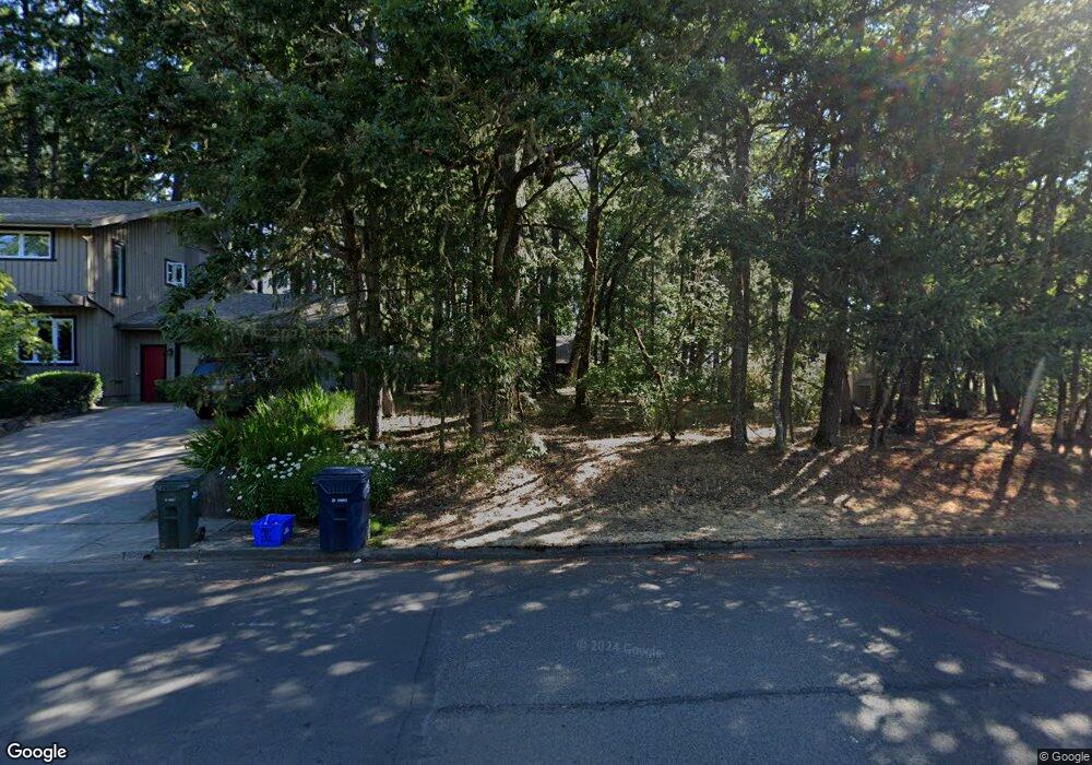
3895 Spring Blvd Eugene, OR 97405
Southeast Eugene NeighborhoodEstimated Value: $585,371 - $787,000
3
Beds
2
Baths
1,880
Sq Ft
$371/Sq Ft
Est. Value
About This Home
This home is located at 3895 Spring Blvd, Eugene, OR 97405 and is currently estimated at $697,843, approximately $371 per square foot. 3895 Spring Blvd is a home located in Lane County with nearby schools including Camas Ridge Community Elementary School, Roosevelt Middle School, and South Eugene High School.
Ownership History
Date
Name
Owned For
Owner Type
Purchase Details
Closed on
Dec 3, 2025
Sold by
Curtis Robert
Bought by
Robert L Curtis Trust and Curtis
Current Estimated Value
Purchase Details
Closed on
May 31, 2024
Sold by
Curtis Charles W and Curtis Elizabeth H
Bought by
Curtis Robert
Purchase Details
Closed on
Nov 9, 2022
Sold by
Curtis Charles W and Curtis Elizabeth H
Bought by
Curtis Robert
Home Financials for this Owner
Home Financials are based on the most recent Mortgage that was taken out on this home.
Original Mortgage
$30,000
Interest Rate
6.92%
Mortgage Type
Construction
Create a Home Valuation Report for This Property
The Home Valuation Report is an in-depth analysis detailing your home's value as well as a comparison with similar homes in the area
Home Values in the Area
Average Home Value in this Area
Purchase History
| Date | Buyer | Sale Price | Title Company |
|---|---|---|---|
| Robert L Curtis Trust | -- | None Listed On Document | |
| Curtis Robert | -- | None Listed On Document | |
| Curtis Robert | $450,000 | Cascade Title |
Source: Public Records
Mortgage History
| Date | Status | Borrower | Loan Amount |
|---|---|---|---|
| Previous Owner | Curtis Robert | $30,000 |
Source: Public Records
Tax History
| Year | Tax Paid | Tax Assessment Tax Assessment Total Assessment is a certain percentage of the fair market value that is determined by local assessors to be the total taxable value of land and additions on the property. | Land | Improvement |
|---|---|---|---|---|
| 2025 | $7,170 | $363,989 | -- | -- |
| 2024 | $7,070 | $353,388 | -- | -- |
| 2023 | $7,070 | $343,096 | $0 | $0 |
| 2022 | $6,627 | $333,103 | $0 | $0 |
| 2021 | $6,229 | $323,401 | $0 | $0 |
| 2020 | $6,251 | $313,982 | $0 | $0 |
| 2019 | $6,039 | $304,837 | $0 | $0 |
| 2018 | $5,622 | $287,339 | $0 | $0 |
| 2017 | $5,361 | $287,339 | $0 | $0 |
| 2016 | $4,964 | $278,970 | $0 | $0 |
| 2015 | $4,838 | $270,845 | $0 | $0 |
| 2014 | $4,709 | $262,956 | $0 | $0 |
Source: Public Records
Map
Nearby Homes
- 3945 Spring Blvd
- 0 N Shasta Loop Unit 384285834
- 3574 Spring Blvd
- 1996 Kimberly Dr
- 4080 Spring Blvd
- 0 Wendell Ln Unit 200453475
- 0 Wendell Ln Unit 279865930
- 0 Wendell Ln Unit 1
- 3790 Onyx St
- 4835 Elva Ln
- 1865 E 43rd Ave
- 1755 E 43rd Ave
- 1210 E 38th Ave
- 2040 Dogwood Dr
- 2015 E 43rd Ave
- 1660 Leatherwood Dr
- 3283 Stoney Ridge Rd
- 1862 E 43rd Ave
- 3605 Emerald St
- 1180 E 37th Ave
- 3875 Spring Blvd
- 1951 Woodson Loop
- 3915 Spring Blvd
- 3855 Spring Blvd
- 1955 Woodson Loop
- 3845 Spring Blvd
- 3890 Vine Maple St
- 3925 Spring Blvd
- 3870 Spring Blvd
- 1950 Woodson Loop
- 1959 Woodson Loop
- 3895 Vine Maple St
- 3835 Spring Blvd
- 1943 Woodson Loop
- 1956 Woodson Loop
- 3920 Spring Blvd
- 3859 Vine Maple St
- 3861 Vine Maple St
- 2300 Spring Blvd
- 3935 Spring Blvd
Your Personal Tour Guide
Ask me questions while you tour the home.