39 Bennetts Ferry Rd Sanbornton, NH 03269
Sanbornton NeighborhoodEstimated Value: $452,886 - $507,000
3
Beds
1
Bath
1,846
Sq Ft
$258/Sq Ft
Est. Value
About This Home
This home is located at 39 Bennetts Ferry Rd, Sanbornton, NH 03269 and is currently estimated at $476,972, approximately $258 per square foot. 39 Bennetts Ferry Rd is a home located in Belknap County with nearby schools including Southwick School, Winnisquam Regional Middle School, and Winnisquam Regional High School.
Ownership History
Date
Name
Owned For
Owner Type
Purchase Details
Closed on
Dec 4, 2014
Sold by
Blackwood William R and Blackwood Barbara I
Bought by
Farrell Derek
Current Estimated Value
Create a Home Valuation Report for This Property
The Home Valuation Report is an in-depth analysis detailing your home's value as well as a comparison with similar homes in the area
Home Values in the Area
Average Home Value in this Area
Purchase History
| Date | Buyer | Sale Price | Title Company |
|---|---|---|---|
| Farrell Derek | $153,600 | -- | |
| Farrell Derek | $153,600 | -- |
Source: Public Records
Mortgage History
| Date | Status | Borrower | Loan Amount |
|---|---|---|---|
| Previous Owner | Farrell Derek | $94,500 | |
| Previous Owner | Farrell Derek | $46,000 | |
| Closed | Farrell Derek | $0 |
Source: Public Records
Tax History Compared to Growth
Tax History
| Year | Tax Paid | Tax Assessment Tax Assessment Total Assessment is a certain percentage of the fair market value that is determined by local assessors to be the total taxable value of land and additions on the property. | Land | Improvement |
|---|---|---|---|---|
| 2024 | $5,208 | $406,547 | $176,147 | $230,400 |
| 2023 | $4,895 | $406,548 | $176,148 | $230,400 |
| 2022 | $4,641 | $233,548 | $100,148 | $133,400 |
| 2021 | $4,169 | $226,843 | $100,143 | $126,700 |
| 2020 | $4,128 | $226,846 | $100,146 | $126,700 |
| 2019 | $4,080 | $226,846 | $100,146 | $126,700 |
| 2018 | $3,942 | $226,844 | $100,144 | $126,700 |
| 2017 | $3,942 | $166,819 | $68,819 | $98,000 |
| 2016 | $3,573 | $151,219 | $68,819 | $82,400 |
| 2015 | $3,631 | $151,219 | $68,819 | $82,400 |
| 2014 | $3,474 | $151,219 | $68,819 | $82,400 |
| 2013 | $3,474 | $151,223 | $68,823 | $82,400 |
Source: Public Records
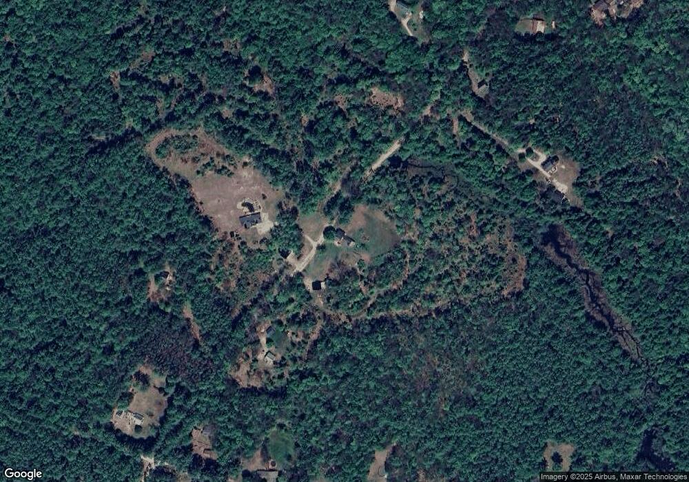
Map
Nearby Homes
- 251 Hill Rd
- 0 Perley Hill Rd Unit 85
- 104 New Hampton Rd
- 28 Pine Colony Rd
- 215 Lake Shore Dr
- 0 Shop Rd
- 0 Mountain Rd Unit 5064513
- 724 Sanborn Rd
- 3 Shop Rd
- 00 Finch and Kidder Ave
- 21 Mountain View Dr
- 69 Lake Ave
- 53 Lark St
- 314 Stage Rd
- 21 Lake Ave
- 36 Lark St
- 319 Victory Dr
- 54 Snow Rd
- 0 Murray Hill Rd Unit 5-1
- Lot 4 Piper St
- 39 Bennetts Ferry Rd
- 34 Bennetts Ferry Rd
- 15 Bennetts Ferry Rd
- 16 Bennetts Ferry Rd
- 73 Bennetts Ferry Rd
- 69 Bennetts Ferry Rd
- 70 Bennetts Ferry Rd
- 7 Bennetts Ferry Rd
- 173 Shaw Hill Rd
- 163 Shaw Hill Rd
- 155 Shaw Hill Rd
- 179 Shaw Hill Rd
- 145 Shaw Hill Rd
- 91 Bennetts Ferry Rd
- 176 Shaw Hill Rd
- 133 Shaw Hill Rd
- 119 Bennetts Ferry Rd
- 123 Shaw Hill Rd
- 0 Shaw Hill Rd Unit Lot 36-10A
- 12 Gammon Way