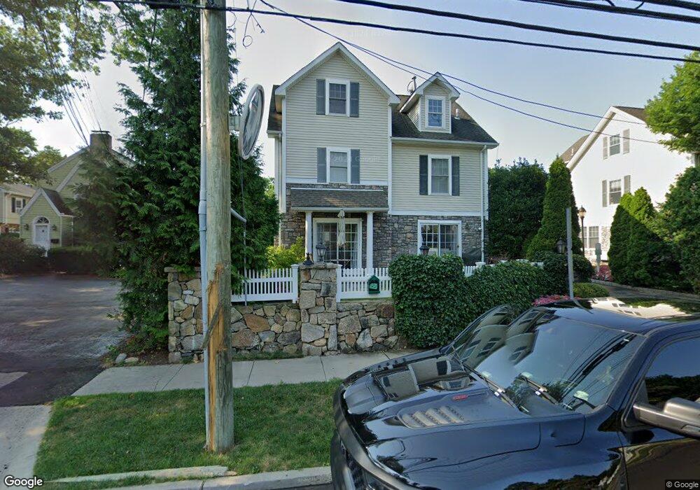
39 Maple Tree Ave Unit 48 Stamford, CT 06906
Glenbrook NeighborhoodEstimated Value: $507,000 - $701,000
2
Beds
2
Baths
1,512
Sq Ft
$375/Sq Ft
Est. Value
About This Home
This home is located at 39 Maple Tree Ave Unit 48, Stamford, CT 06906 and is currently estimated at $566,955, approximately $374 per square foot. 39 Maple Tree Ave Unit 48 is a home located in Fairfield County with nearby schools including Julia A. Stark Elementary School, Dolan School, and Stamford High School.
Ownership History
Date
Name
Owned For
Owner Type
Purchase Details
Closed on
Apr 28, 2006
Sold by
Curcio Anthony and Curcio Elyse
Bought by
Bellingeri Christine M
Current Estimated Value
Home Financials for this Owner
Home Financials are based on the most recent Mortgage that was taken out on this home.
Original Mortgage
$399,000
Outstanding Balance
$231,084
Interest Rate
6.4%
Estimated Equity
$335,871
Create a Home Valuation Report for This Property
The Home Valuation Report is an in-depth analysis detailing your home's value as well as a comparison with similar homes in the area
Home Values in the Area
Average Home Value in this Area
Purchase History
| Date | Buyer | Sale Price | Title Company |
|---|---|---|---|
| Bellingeri Christine M | $499,000 | -- |
Source: Public Records
Mortgage History
| Date | Status | Borrower | Loan Amount |
|---|---|---|---|
| Open | Bellingeri Christine M | $399,000 |
Source: Public Records
Tax History
| Year | Tax Paid | Tax Assessment Tax Assessment Total Assessment is a certain percentage of the fair market value that is determined by local assessors to be the total taxable value of land and additions on the property. | Land | Improvement |
|---|---|---|---|---|
| 2025 | $6,660 | $281,500 | $0 | $281,500 |
| 2024 | $6,514 | $281,500 | $0 | $281,500 |
| 2023 | $6,998 | $281,500 | $0 | $281,500 |
| 2022 | $6,694 | $250,320 | $0 | $250,320 |
| 2021 | $6,621 | $250,320 | $0 | $250,320 |
| 2020 | $6,451 | $250,320 | $0 | $250,320 |
| 2019 | $6,451 | $250,320 | $0 | $250,320 |
| 2018 | $6,213 | $250,320 | $0 | $250,320 |
| 2017 | $5,674 | $218,240 | $0 | $218,240 |
| 2016 | $5,515 | $218,240 | $0 | $218,240 |
| 2015 | $5,371 | $218,240 | $0 | $218,240 |
| 2014 | $5,192 | $218,240 | $0 | $218,240 |
Source: Public Records
Map
Nearby Homes
- 35 Maple Tree Ave Unit 1
- 22 Radio Place Unit 10
- 34 Crescent St Unit 2D
- 98 Scofield Ave
- 24 King St
- 151 Courtland Ave Unit 6
- 455 Hope St Unit 4B
- 43 Phillips Ln
- 17 Sunnyside Ave
- 73 Courtland Ave Unit 163 ( 8)
- 15 Charles St
- 59 Courtland Ave Unit 2T
- 59 Courtland Ave Unit 3B
- 125 Lawn Ave Unit B6
- 167 Hollow Tree Ridge Rd
- 71 Deleo Dr
- 132 Hope St Unit C
- 166 Hollow Tree Ridge Rd
- 114 Pine Hill Ave
- 100 Hope St Unit 10
- 39 Maple Tree Ave Unit 63
- 39 Maple Tree Ave Unit 62
- 39 Maple Tree Ave Unit 61
- 39 Maple Tree Ave Unit 60
- 39 Maple Tree Ave Unit 59
- 39 Maple Tree Ave Unit 58
- 39 Maple Tree Ave Unit 57
- 39 Maple Tree Ave Unit 56
- 39 Maple Tree Ave Unit 55
- 39 Maple Tree Ave Unit 54
- 39 Maple Tree Ave Unit 53
- 39 Maple Tree Ave Unit 52
- 39 Maple Tree Ave Unit 51
- 39 Maple Tree Ave Unit 50
- 39 Maple Tree Ave Unit 49
- 39 Maple Tree Ave Unit 47
- 39 Maple Tree Ave Unit 46
- 39 Maple Tree Ave Unit 45
- 39 Maple Tree Ave Unit 44
- 39 Maple Tree Ave Unit 43
Your Personal Tour Guide
Ask me questions while you tour the home.