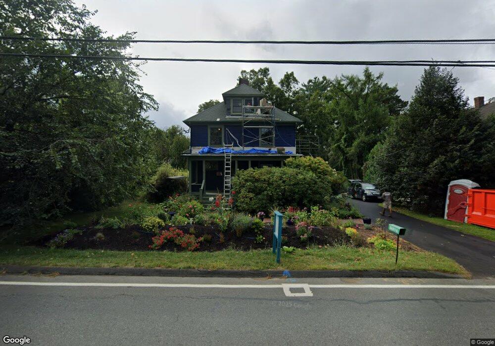
39 Pine St Amherst, MA 01002
Estimated Value: $540,000 - $688,000
4
Beds
3
Baths
2,612
Sq Ft
$230/Sq Ft
Est. Value
About This Home
This home is located at 39 Pine St, Amherst, MA 01002 and is currently estimated at $601,075, approximately $230 per square foot. 39 Pine St is a home located in Hampshire County with nearby schools including Wildwood Elementary School, Amherst Regional Middle School, and Amherst Regional High School.
Ownership History
Date
Name
Owned For
Owner Type
Purchase Details
Closed on
Jun 16, 1995
Sold by
Murphy Susan and Murphy Timothy C
Bought by
Barrington David and Barrington Jessica
Current Estimated Value
Home Financials for this Owner
Home Financials are based on the most recent Mortgage that was taken out on this home.
Original Mortgage
$171,350
Interest Rate
8.24%
Mortgage Type
Purchase Money Mortgage
Create a Home Valuation Report for This Property
The Home Valuation Report is an in-depth analysis detailing your home's value as well as a comparison with similar homes in the area
Home Values in the Area
Average Home Value in this Area
Purchase History
| Date | Buyer | Sale Price | Title Company |
|---|---|---|---|
| Barrington David | $180,412 | -- |
Source: Public Records
Mortgage History
| Date | Status | Borrower | Loan Amount |
|---|---|---|---|
| Closed | Barrington David | $193,000 | |
| Closed | Barrington David | $170,000 | |
| Closed | Barrington David | $171,350 | |
| Previous Owner | Barrington David | $129,700 |
Source: Public Records
Tax History
| Year | Tax Paid | Tax Assessment Tax Assessment Total Assessment is a certain percentage of the fair market value that is determined by local assessors to be the total taxable value of land and additions on the property. | Land | Improvement |
|---|---|---|---|---|
| 2025 | $96 | $536,000 | $159,200 | $376,800 |
| 2024 | $9,385 | $507,000 | $150,200 | $356,800 |
| 2023 | $8,961 | $445,800 | $136,600 | $309,200 |
| 2022 | $8,489 | $399,100 | $124,200 | $274,900 |
| 2021 | $5,026 | $372,300 | $115,000 | $257,300 |
| 2020 | $4,572 | $372,300 | $115,000 | $257,300 |
| 2019 | $4,445 | $352,100 | $115,000 | $237,100 |
| 2018 | $6,382 | $301,900 | $115,000 | $186,900 |
| 2017 | $6,401 | $293,200 | $109,600 | $183,600 |
| 2016 | $6,222 | $293,200 | $109,600 | $183,600 |
| 2015 | $6,022 | $293,200 | $109,600 | $183,600 |
Source: Public Records
Map
Nearby Homes
- 208 Rolling Ridge Rd
- 167 Rolling Ridge Rd
- 12 Teawaddle Ln
- 185 Cherry Ln
- Lot A Kingman Rd
- Lot 3 Roosevelt St
- 3 Frost Ln
- 6 Shattuck Rd
- 8 Aloha Dr
- 50 Mount Pleasant
- 15 S Plain Rd
- 113 Juggler Meadow Rd
- 0 Red Gate Ln Unit 73348273
- 174 Lincoln Ave
- 242 N East St Unit 24
- 75 Amity Place Unit 75
- 63 Amity Place Unit 63
- 0 Main St
- 48 Gray St
- Lot A January Hills Rd
Your Personal Tour Guide
Ask me questions while you tour the home.