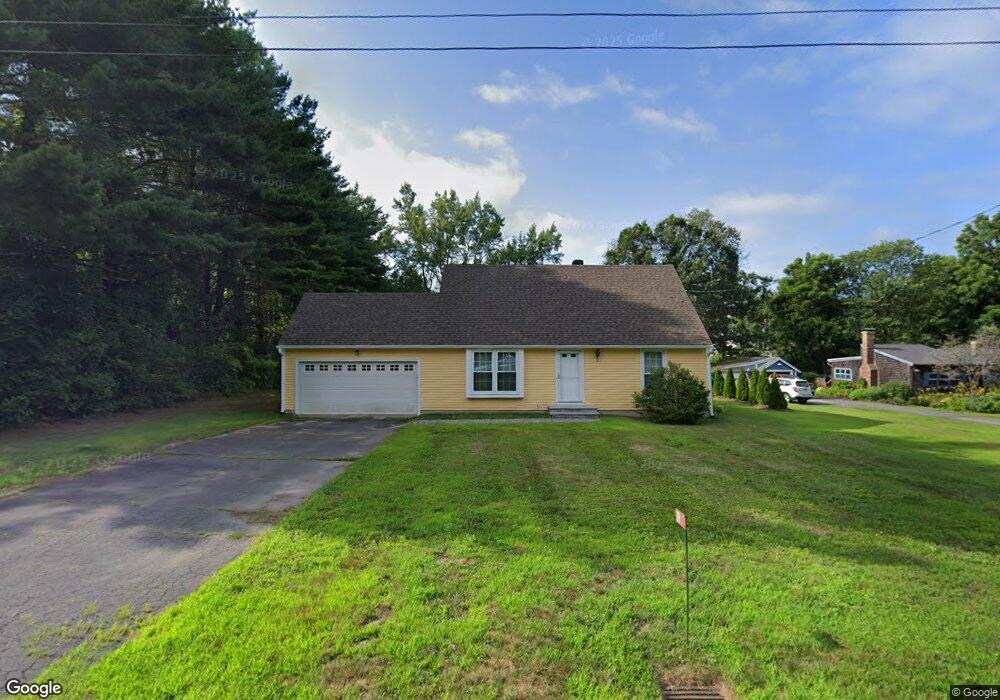
39 Plumtree Rd Sunderland, MA 01375
Estimated Value: $460,000 - $523,000
4
Beds
2
Baths
1,972
Sq Ft
$248/Sq Ft
Est. Value
About This Home
This home is located at 39 Plumtree Rd, Sunderland, MA 01375 and is currently estimated at $488,950, approximately $247 per square foot. 39 Plumtree Rd is a home located in Franklin County with nearby schools including Sunderland Elementary School and Frontier Regional School.
Create a Home Valuation Report for This Property
The Home Valuation Report is an in-depth analysis detailing your home's value as well as a comparison with similar homes in the area
Home Values in the Area
Average Home Value in this Area
Tax History Compared to Growth
Tax History
| Year | Tax Paid | Tax Assessment Tax Assessment Total Assessment is a certain percentage of the fair market value that is determined by local assessors to be the total taxable value of land and additions on the property. | Land | Improvement |
|---|---|---|---|---|
| 2025 | $50 | $381,800 | $114,000 | $267,800 |
| 2024 | $5,017 | $381,800 | $114,000 | $267,800 |
| 2023 | $4,593 | $358,800 | $103,600 | $255,200 |
| 2022 | $4,516 | $307,200 | $88,800 | $218,400 |
| 2021 | $4,233 | $273,300 | $82,300 | $191,000 |
| 2020 | $4,220 | $273,300 | $82,300 | $191,000 |
| 2019 | $4,058 | $264,700 | $79,900 | $184,800 |
| 2018 | $3,909 | $260,600 | $76,700 | $183,900 |
| 2017 | $3,727 | $259,900 | $76,700 | $183,200 |
| 2016 | $3,721 | $253,800 | $75,200 | $178,600 |
| 2015 | $3,632 | $253,800 | $75,200 | $178,600 |
| 2014 | $3,548 | $253,800 | $75,200 | $178,600 |
Source: Public Records
Map
Nearby Homes
- 23 Plumtree Rd
- 15 S Plain Rd
- 139 Plumtree Rd
- 410 Old Montague Rd
- 119 Long Plain Rd
- 394 River Dr
- 113 Juggler Meadow Rd
- 75 State St
- Lot 3A-3 Leverett Rd
- 146 Old Amherst Rd
- 73 Depot Rd
- 958 E Pleasant St
- 7 Roosevelt St
- 0 Henry St
- 66 Harlow Dr
- 13 Harlow Dr
- 110 Grantwood Dr
- 24 Old Amherst Rd
- Lot A Kingman Rd
- 185 Cherry Ln