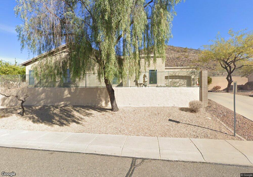
3904 W Range Mule Dr Phoenix, AZ 85083
Stetson Valley NeighborhoodEstimated Value: $582,259 - $644,000
3
Beds
2
Baths
2,207
Sq Ft
$282/Sq Ft
Est. Value
About This Home
This home is located at 3904 W Range Mule Dr, Phoenix, AZ 85083 and is currently estimated at $621,565, approximately $281 per square foot. 3904 W Range Mule Dr is a home located in Maricopa County with nearby schools including Stetson Hills Elementary School and Sandra Day O'connor High School.
Ownership History
Date
Name
Owned For
Owner Type
Purchase Details
Closed on
Dec 1, 1999
Sold by
Morrison Homes Inc
Bought by
Morrison Homes Of Arizona Inc
Current Estimated Value
Home Financials for this Owner
Home Financials are based on the most recent Mortgage that was taken out on this home.
Original Mortgage
$160,750
Interest Rate
8.12%
Mortgage Type
New Conventional
Create a Home Valuation Report for This Property
The Home Valuation Report is an in-depth analysis detailing your home's value as well as a comparison with similar homes in the area
Home Values in the Area
Average Home Value in this Area
Purchase History
| Date | Buyer | Sale Price | Title Company |
|---|---|---|---|
| Morrison Homes Of Arizona Inc | -- | First American Title | |
| Bastin Jon D | $180,144 | -- |
Source: Public Records
Mortgage History
| Date | Status | Borrower | Loan Amount |
|---|---|---|---|
| Previous Owner | Bastin Jon D | $160,750 |
Source: Public Records
Tax History
| Year | Tax Paid | Tax Assessment Tax Assessment Total Assessment is a certain percentage of the fair market value that is determined by local assessors to be the total taxable value of land and additions on the property. | Land | Improvement |
|---|---|---|---|---|
| 2025 | $3,015 | $34,674 | -- | -- |
| 2024 | $2,934 | $33,023 | -- | -- |
| 2023 | $2,934 | $45,260 | $9,050 | $36,210 |
| 2022 | $2,825 | $35,050 | $7,010 | $28,040 |
| 2021 | $2,951 | $32,470 | $6,490 | $25,980 |
| 2020 | $2,897 | $31,260 | $6,250 | $25,010 |
| 2019 | $2,808 | $30,120 | $6,020 | $24,100 |
| 2018 | $2,710 | $29,410 | $5,880 | $23,530 |
| 2017 | $2,617 | $27,560 | $5,510 | $22,050 |
| 2016 | $2,469 | $25,870 | $5,170 | $20,700 |
| 2015 | $2,204 | $26,910 | $5,380 | $21,530 |
Source: Public Records
Map
Nearby Homes
- 25225 N 40th Ln
- 25409 N 40th Ln
- 4038 W Alex Loop
- 3919 W Buckskin Trail
- 4051 W Desert Hollow Dr
- 3822 W Fallen Leaf Ln
- 3949 W Chama Dr
- 4137 W Chama Dr
- 24436 N 38th Terrace
- 3573 W Whispering Wind Dr
- 4334 W Villa Linda Dr
- 25801 N Lawler Loop
- 25817 N Lawler Loop
- 3940 W Park View Ln
- 4154 W Questa Dr
- 3869 W Charlotte Dr
- 3612 W Questa Dr
- 4416 W Chama Dr
- 3523 W Saguaro Park Ln
- 3815 W Charlotte Dr
- 3920 W Range Mule Dr
- 3902 W Range Mule Dr
- 3909 W Range Mule Dr
- 3903 W Range Mule Dr
- 3915 W Range Mule Dr
- 3919 W Range Mule Dr
- 25419 N 39th Ave
- 3925 W Range Mule Dr
- 25415 N 39th Ave
- 25401 N Hackberry Dr
- 25403 N Hackberry Dr
- 25237 N Hackberry Dr
- 25407 N Hackberry Dr
- 3928 W Range Mule Dr
- 25411 N 39th Ave
- 3931 W Range Mule Dr
- 3932 W Range Mule Dr
- 25409 N Hackberry Dr
- 25407 N 39th Ave
- 3935 W Range Mule Dr
Your Personal Tour Guide
Ask me questions while you tour the home.