391 Pratt Rd Alstead, NH 03602
Estimated Value: $633,253 - $692,000
3
Beds
2
Baths
1,848
Sq Ft
$358/Sq Ft
Est. Value
About This Home
This home is located at 391 Pratt Rd, Alstead, NH 03602 and is currently estimated at $661,313, approximately $357 per square foot. 391 Pratt Rd is a home located in Cheshire County with nearby schools including Alstead Primary School, Vilas Elementary School, and Fall Mountain Regional High School.
Ownership History
Date
Name
Owned For
Owner Type
Purchase Details
Closed on
Nov 14, 2024
Sold by
Sabin Donna
Bought by
Donna G Sabin Ret and Sabin
Current Estimated Value
Purchase Details
Closed on
Aug 4, 2009
Sold by
Capra Michael and Capra Liana L
Bought by
Sabin Donna
Home Financials for this Owner
Home Financials are based on the most recent Mortgage that was taken out on this home.
Original Mortgage
$303,750
Interest Rate
5.43%
Mortgage Type
Purchase Money Mortgage
Create a Home Valuation Report for This Property
The Home Valuation Report is an in-depth analysis detailing your home's value as well as a comparison with similar homes in the area
Home Values in the Area
Average Home Value in this Area
Purchase History
| Date | Buyer | Sale Price | Title Company |
|---|---|---|---|
| Donna G Sabin Ret | -- | None Available | |
| Donna G Sabin Ret | -- | None Available | |
| Sabin Donna | $337,500 | -- | |
| Sabin Donna | $337,500 | -- |
Source: Public Records
Mortgage History
| Date | Status | Borrower | Loan Amount |
|---|---|---|---|
| Previous Owner | Sabin Donna | $303,750 | |
| Previous Owner | Sabin Donna | $240,000 | |
| Previous Owner | Sabin Donna | $120,000 |
Source: Public Records
Tax History Compared to Growth
Tax History
| Year | Tax Paid | Tax Assessment Tax Assessment Total Assessment is a certain percentage of the fair market value that is determined by local assessors to be the total taxable value of land and additions on the property. | Land | Improvement |
|---|---|---|---|---|
| 2024 | $12,101 | $448,500 | $120,200 | $328,300 |
| 2023 | $8,815 | $346,631 | $96,331 | $250,300 |
| 2022 | $8,541 | $346,631 | $96,331 | $250,300 |
| 2021 | $8,059 | $346,631 | $96,331 | $250,300 |
| 2020 | $8,464 | $346,593 | $96,293 | $250,300 |
| 2019 | $8,386 | $301,113 | $71,913 | $229,200 |
| 2018 | $8,147 | $301,190 | $71,990 | $229,200 |
| 2017 | $8,031 | $301,107 | $71,707 | $229,400 |
| 2016 | $8,102 | $301,081 | $71,681 | $229,400 |
| 2015 | $7,988 | $301,081 | $71,681 | $229,400 |
| 2014 | $7,539 | $316,771 | $93,871 | $222,900 |
| 2013 | $8,632 | $322,071 | $93,871 | $228,200 |
Source: Public Records
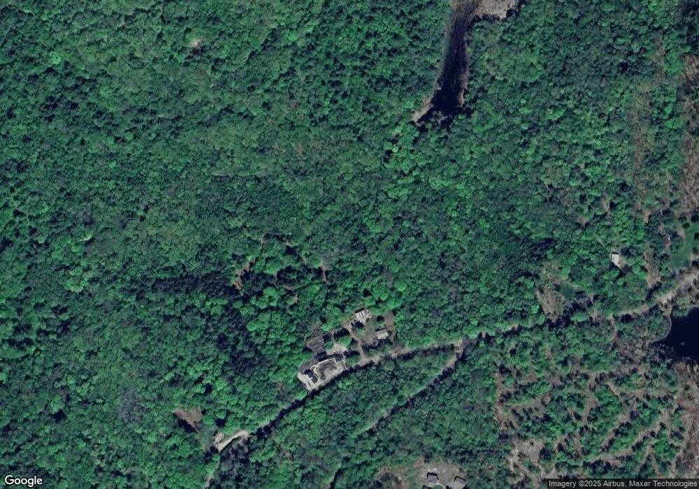
Map
Nearby Homes
- 473 Pratt Rd
- 00 Alstead Center Rd
- 55 Sunset Cir
- 33 Maclean Rd
- 96 Maclean Rd
- 363 March Hill Rd
- 100 River St
- 00 Cold River Rd Unit 3014.0
- 32 Blueberry Hill Ln
- 16 Vilas Rd
- 27 Shadowland Rd
- 178 North Rd
- 33 Dearborn Cir
- 561 Main St
- 61 North Rd
- 458 Cheshire Turnpike
- 26 Old North Main St
- 24 Westminster St
- 31 Pleasant St
- 61 Elm St