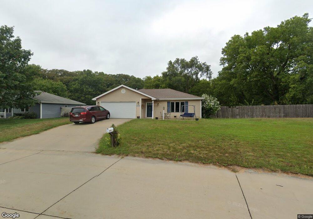
3917 Foxridge Dr Manhattan, KS 66502
Estimated Value: $279,000 - $345,000
About This Home
This home is located at 3917 Foxridge Dr, Manhattan, KS 66502 and is currently estimated at $304,159, approximately $188 per square foot. 3917 Foxridge Dr is a home located in Pottawatomie County with nearby schools including Woodrow Wilson Elementary School, Dwight D. Eisenhower Middle School, and Manhattan High School.
Ownership History
We collect this data history from publicly available records. To have your information removed, we recommend requesting removal directly through your county’s website.
Purchase Details
Home Financials for this Owner
Home Financials are based on the most recent Mortgage that was taken out on this home.Purchase History
We collect this data history from publicly available records. To have your information removed, we recommend requesting removal directly through your county’s website.
| Date | Buyer | Sale Price | Title Company |
|---|---|---|---|
| -- | None Available |
Mortgage History
We collect this data history from publicly available records. To have your information removed, we recommend requesting removal directly through your county’s website.
| Date | Status | Borrower | Loan Amount |
|---|---|---|---|
| Open | $115,000 |
Tax History
We collect this data history from publicly available records. To have your information removed, we recommend requesting removal directly through your county’s website.
| Year | Tax Paid | Tax Assessment Tax Assessment Total Assessment is a certain percentage of the fair market value that is determined by local assessors to be the total taxable value of land and additions on the property. | Land | Improvement |
|---|---|---|---|---|
| 2025 | $2,339 | $25,573 | $3,870 | $21,703 |
| 2024 | $23 | $24,889 | $3,928 | $20,961 |
| 2023 | $2,439 | $24,452 | $3,867 | $20,585 |
| 2022 | $2,200 | $21,563 | $3,800 | $17,763 |
| 2021 | $2,200 | $20,863 | $3,662 | $17,201 |
| 2020 | $2,200 | $20,738 | $3,662 | $17,076 |
| 2019 | $2,261 | $21,119 | $3,524 | $17,595 |
| 2018 | $2,166 | $20,724 | $3,226 | $17,498 |
| 2017 | $2,098 | $20,528 | $2,957 | $17,571 |
| 2016 | $1,995 | $19,815 | $2,694 | $17,121 |
| 2015 | -- | $18,972 | $2,954 | $16,018 |
| 2014 | -- | $18,228 | $3,258 | $14,970 |
Map
- 3807 Fox Ridge Dr
- 4055 Bald Eagle Dr
- 8728 Eagle Feather Dr
- 2111 Timber Creek Dr
- 3893 Golden Eagle Dr
- 9048 Tonya Terrace
- 4505 Kelsey Dr
- 4319 Aspen Dr
- 6125 Brookes Way
- 9061 Tonya Terrace
- 4205 Caitlin Dr
- 8739 William Dr
- 8715 William Dr
- 9155 Lindsey Cir
- 9094 Tonya Terrace
- 8945 Glendale Cir
- 8606 William Dr
- 8797 Nellie Dr
- 4172 Mcmillin Ln
- 8414 Chrissy Landing
- 3929 Forrest Ln
- 3935 Forrest Ln
- 3923 Forrest Ln
- 3971 Forrest Ln
- 3965 Forrest Ln
- 3941 Forrest Ln
- 3977 Forrest Ln
- 3959 Forrest Ln
- 3983 Fox Ridge Dr
- 3916 Fox Ridge Dr
- 3983 Foxridge Dr
- 3916 Foxridge Dr
- 3986 Fox Ridge Dr
- 3986 Foxridge Dr
- 3989 Fox Ridge Dr
- 3947 Forrest Ln
- 3911 Foxridge Dr
- 3989 Foxridge Dr
- 8720 Eagles Landing Dr
- 3911 Fox Ridge Dr
Ask me questions while you tour the home.