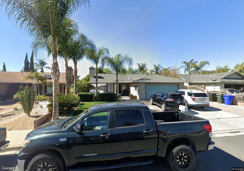
3927 Driving Range Rd Riverside, CA 92509
Rubidoux NeighborhoodEstimated Value: $536,000 - $687,000
About This Home
This home is located at 3927 Driving Range Rd, Riverside, CA 92509 and is currently estimated at $593,956, approximately $405 per square foot. 3927 Driving Range Rd is a home located in Riverside County with nearby schools including Peralta Elementary, Mission Middle School, and Rubidoux High School.
Ownership History
We collect this data history from publicly available records. To have your information removed, we recommend requesting removal directly through your county’s website.
Purchase Details
Home Financials for this Owner
Home Financials are based on the most recent Mortgage that was taken out on this home.Home Values in the Area
Average Home Value in this Area
Purchase History
We collect this data history from publicly available records. To have your information removed, we recommend requesting removal directly through your county’s website.
| Date | Buyer | Sale Price | Title Company |
|---|---|---|---|
| $86,000 | Stewart Title |
Mortgage History
We collect this data history from publicly available records. To have your information removed, we recommend requesting removal directly through your county’s website.
| Date | Status | Borrower | Loan Amount |
|---|---|---|---|
| Open | $85,532 |
Tax History
We collect this data history from publicly available records. To have your information removed, we recommend requesting removal directly through your county’s website.
| Year | Tax Paid | Tax Assessment Tax Assessment Total Assessment is a certain percentage of the fair market value that is determined by local assessors to be the total taxable value of land and additions on the property. | Land | Improvement |
|---|---|---|---|---|
| 2025 | $1,538 | $134,789 | $47,014 | $87,775 |
| 2023 | $1,538 | $129,557 | $45,190 | $84,367 |
| 2022 | $1,494 | $127,017 | $44,304 | $82,713 |
| 2021 | $1,489 | $124,528 | $43,436 | $81,092 |
| 2020 | $1,474 | $123,252 | $42,991 | $80,261 |
| 2019 | $1,445 | $120,837 | $42,149 | $78,688 |
| 2018 | $1,399 | $118,469 | $41,324 | $77,145 |
| 2017 | $1,384 | $116,147 | $40,514 | $75,633 |
| 2016 | $1,365 | $113,870 | $39,720 | $74,150 |
| 2015 | $1,346 | $112,161 | $39,124 | $73,037 |
| 2014 | $1,258 | $109,965 | $38,358 | $71,607 |
Map
- 3825 Crestmore Rd Unit 480
- 3825 Crestmore Rd Unit 515
- 3825 Crestmore Rd Unit 414
- 3825 Crestmore Rd Unit 372
- 3825 Crestmore Rd Unit 313
- 5442 Mission Blvd
- 3747 Mintern St
- 3895 Twining St
- 3447 Daly Ave
- 5479 34th St
- 3901 Rubidoux Blvd
- 5336 Flabob Ave
- 4053 Rubidoux Blvd
- 5217 Quapaw Way
- 0 Mission Blvd Unit PW25275749
- 0 Mission Blvd Unit IV23139894
- 3295 Rubidoux Blvd
- 4361 Halfinger Way
- 5654 Raye St
- 5746 Tilton Ave
- 3880 Driving Range Rd
- 3872 Driving Range Rd
- 3886 Driving Range Rd
- 3917 Driving Range Rd
- 3864 Driving Range Rd
- 3896 Driving Range Rd
- 5330 Mission Blvd
- 3873 Driving Range Rd
- 3856 Driving Range Rd
- 3906 Driving Range Rd
- 3916 Driving Range Rd
- 3857 Driving Range Rd
- 3863 Driving Range Rd
- 3937 Driving Range Rd
- 3926 Driving Range Rd
- 5345 Bogie Ct
- 5324 Mission Blvd
- 3936 Driving Range Rd
- 5357 Bogie Ct
- 3947 Driving Range Rd
Ask me questions while you tour the home.