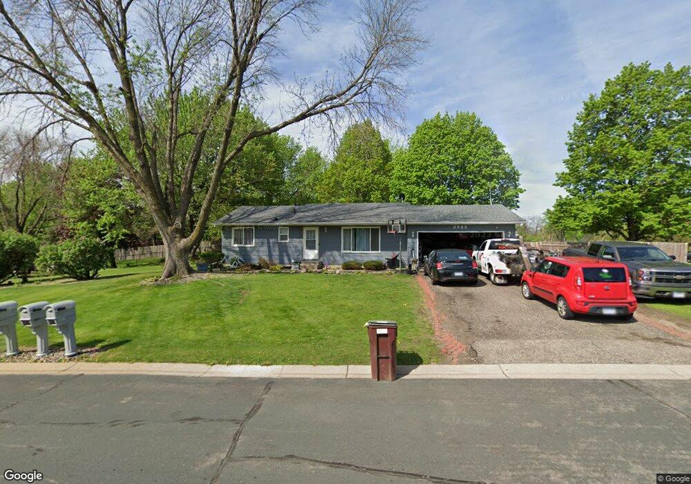
3933 Palisade Way Saint Paul, MN 55122
Estimated Value: $342,000 - $448,000
5
Beds
3
Baths
1,440
Sq Ft
$286/Sq Ft
Est. Value
About This Home
This home is located at 3933 Palisade Way, Saint Paul, MN 55122 and is currently estimated at $411,419, approximately $285 per square foot. 3933 Palisade Way is a home located in Dakota County with nearby schools including Burnsville High School and Becks Montessori.
Ownership History
Date
Name
Owned For
Owner Type
Purchase Details
Closed on
Jul 28, 2006
Sold by
Hogenson Duane and Hogenson Deanna
Bought by
Moran Helguera Juan Isidro and Moran Georgina Pamela
Current Estimated Value
Create a Home Valuation Report for This Property
The Home Valuation Report is an in-depth analysis detailing your home's value as well as a comparison with similar homes in the area
Home Values in the Area
Average Home Value in this Area
Purchase History
| Date | Buyer | Sale Price | Title Company |
|---|---|---|---|
| Moran Helguera Juan Isidro | $268,000 | -- |
Source: Public Records
Tax History Compared to Growth
Tax History
| Year | Tax Paid | Tax Assessment Tax Assessment Total Assessment is a certain percentage of the fair market value that is determined by local assessors to be the total taxable value of land and additions on the property. | Land | Improvement |
|---|---|---|---|---|
| 2024 | $4,498 | $419,200 | $86,600 | $332,600 |
| 2023 | $4,498 | $428,100 | $86,800 | $341,300 |
| 2022 | $3,536 | $410,400 | $86,600 | $323,800 |
| 2021 | $3,468 | $356,200 | $75,400 | $280,800 |
| 2020 | $3,762 | $330,300 | $71,900 | $258,400 |
| 2019 | $3,712 | $327,000 | $68,400 | $258,600 |
| 2018 | $3,424 | $309,400 | $65,200 | $244,200 |
| 2017 | $3,195 | $274,500 | $62,100 | $212,400 |
| 2016 | $3,102 | $255,400 | $59,100 | $196,300 |
| 2015 | $2,721 | $222,071 | $55,168 | $166,903 |
| 2014 | -- | $217,820 | $53,524 | $164,296 |
| 2013 | -- | $184,902 | $47,360 | $137,542 |
Source: Public Records
Map
Nearby Homes
- 3958 Riverton Ave
- 1769 Serpentine Dr
- 1781 Taconite Point
- 3933 Donegal Way
- 3847 Lodestone Cir
- 1730 Flamingo Dr
- 3778 Grey Dove Ln
- 3907 Mica Trail
- 4100 Meadowlark Ln
- 1630 Murphy Pkwy
- 4055 Cinnabar Dr
- 3770 Robin Ln
- 1680 Oakbrooke Ct
- 1855 Silver Bell Rd Unit 314
- 1855 Silver Bell Rd Unit 120
- 3883 Dolomite Dr
- 1753 Bluebill Dr
- 1871 Silver Bell Rd Unit 217
- 1871 Silver Bell Rd Unit 317
- 3895 Dolomite Dr
- 1742 Davenport Ave
- 3941 Palisade Way
- 3940 Blackhawk Cir
- 3932 Palisade Way
- 1741 Davenport Ave
- 3924 Palisade Way
- 1746 Davenport Ave
- 3938 Blackhawk Cir
- 3949 Palisade Way
- 3940 Palisade Way
- 3916 Palisade Way
- 3909 Palisade Way
- 1745 Davenport Ave
- 1748 Davenport Ave
- 1719 Davenport Cir
- 3908 Palisade Way
- 3942 Blackhawk Cir
- 1721 Monticello Ave
- 3936 Blackhawk Cir
- 3955 Palisade Way