Estimated Value: $352,040 - $448,000
Studio
--
Bath
1,726
Sq Ft
$225/Sq Ft
Est. Value
About This Home
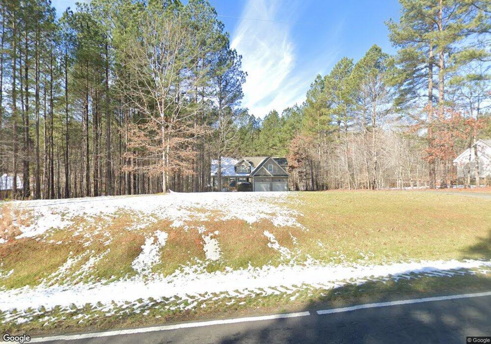
This home is located at 3997 Range Rd Unit 4, Stem, NC 27581 and is currently estimated at $388,760, approximately $225 per square foot. 3997 Range Rd Unit 4 is a home located in Granville County with nearby schools including West Oxford Elementary School, Butner-Stem Middle School, and Granville Central High School.
Ownership History
Date
Name
Owned For
Owner Type
Purchase Details
Closed on
Mar 5, 2009
Sold by
Downey Homes Inc
Bought by
Dowse Brenda J
Current Estimated Value
Home Financials for this Owner
Home Financials are based on the most recent Mortgage that was taken out on this home.
Original Mortgage
$183,048
Interest Rate
5.01%
Mortgage Type
FHA
Create a Home Valuation Report for This Property
The Home Valuation Report is an in-depth analysis detailing your home's value as well as a comparison with similar homes in the area
Purchase History
| Date | Buyer | Sale Price | Title Company |
|---|---|---|---|
| Dowse Brenda J | $200,000 | -- |
Source: Public Records
Mortgage History
| Date | Status | Borrower | Loan Amount |
|---|---|---|---|
| Previous Owner | Dowse Brenda J | $183,048 |
Source: Public Records
Tax History
| Year | Tax Paid | Tax Assessment Tax Assessment Total Assessment is a certain percentage of the fair market value that is determined by local assessors to be the total taxable value of land and additions on the property. | Land | Improvement |
|---|---|---|---|---|
| 2025 | $2,079 | $283,562 | $38,268 | $245,294 |
| 2024 | $2,079 | $283,562 | $38,268 | $245,294 |
| 2023 | $2,069 | $203,869 | $24,226 | $179,643 |
| 2022 | $1,944 | $203,869 | $24,226 | $179,643 |
| 2021 | $1,817 | $203,869 | $24,226 | $179,643 |
| 2020 | $1,817 | $203,869 | $24,226 | $179,643 |
| 2019 | $1,817 | $203,869 | $24,226 | $179,643 |
| 2018 | $1,817 | $203,869 | $24,226 | $179,643 |
| 2016 | $1,744 | $186,346 | $24,311 | $162,035 |
| 2015 | $1,646 | $186,346 | $24,311 | $162,035 |
| 2014 | $1,646 | $186,346 | $24,311 | $162,035 |
| 2013 | -- | $186,346 | $24,311 | $162,035 |
Source: Public Records
Map
Nearby Homes
- 1190 Little Mountain Rd
- 211 Old North Carolina 75
- 207 Old North Carolina 75
- 3538 Saddle Ridge Rd
- 103 Averly Ct
- 1664 Garrett Farm Rd
- 1652 Garrett Farm Rd
- 1658 Garrett Farm Rd
- 1086 Roberts Chapel Rd
- 1037 Sunshine Cir
- 3569 Jacobs Rd
- 3555 Deerfield Rd
- 113 Ross Dr
- 111 Ross Dr
- 109 Ross Dr
- 4551 Sugar Maple Rd
- 110 Ross Dr
- 212 Griffis Dr
- 211 Richmond Run
- Lot 11 Poppy Mallow Ln
- 3997 Range Rd
- 3993 Range Rd
- 4001 Range Rd
- 4005 Range Rd
- 4005 Range Rd Unit 3
- 4009 Range Rd Unit 2
- 4009 Range Rd
- 3664 Range Rd
- 3660 Range Rd
- 3658 Range Rd
- 3654 Range Rd
- 3652 Range Rd
- 4013 Range Rd Unit 1
- 4013 Range Rd
- 3648 Range Rd
- 4044 Range Rd
- 1206 Tunstall Trail
- 4001 Culbreth Rd
- 1218 Tunstall Trail
- 4015 Culbreth Rd
Your Personal Tour Guide
Ask me questions while you tour the home.