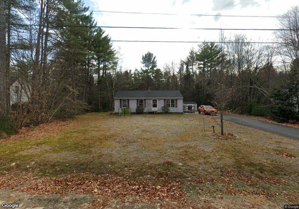
4 Bluff Dr Steep Falls, ME 04085
Estimated Value: $355,817 - $436,000
3
Beds
1
Bath
960
Sq Ft
$406/Sq Ft
Est. Value
About This Home
This home is located at 4 Bluff Dr, Steep Falls, ME 04085 and is currently estimated at $390,204, approximately $406 per square foot. 4 Bluff Dr is a home located in Cumberland County with nearby schools including Bonny Eagle High School.
Ownership History
Date
Name
Owned For
Owner Type
Purchase Details
Closed on
Mar 24, 2009
Sold by
Godin Danielle S
Bought by
Sweeney Patrick B and Sweeney Joyce A
Current Estimated Value
Home Financials for this Owner
Home Financials are based on the most recent Mortgage that was taken out on this home.
Original Mortgage
$156,750
Outstanding Balance
$99,449
Interest Rate
5.25%
Mortgage Type
FHA
Estimated Equity
$290,755
Create a Home Valuation Report for This Property
The Home Valuation Report is an in-depth analysis detailing your home's value as well as a comparison with similar homes in the area
Home Values in the Area
Average Home Value in this Area
Purchase History
| Date | Buyer | Sale Price | Title Company |
|---|---|---|---|
| Sweeney Patrick B | -- | -- | |
| Sweeney Patrick B | -- | -- |
Source: Public Records
Mortgage History
| Date | Status | Borrower | Loan Amount |
|---|---|---|---|
| Open | Sweeney Patrick B | $156,750 | |
| Closed | Sweeney Patrick B | $156,750 |
Source: Public Records
Tax History
| Year | Tax Paid | Tax Assessment Tax Assessment Total Assessment is a certain percentage of the fair market value that is determined by local assessors to be the total taxable value of land and additions on the property. | Land | Improvement |
|---|---|---|---|---|
| 2024 | $3,019 | $239,600 | $81,200 | $158,400 |
| 2023 | $2,798 | $202,000 | $70,000 | $132,000 |
| 2022 | $2,640 | $182,700 | $63,000 | $119,700 |
| 2021 | $2,577 | $171,800 | $57,800 | $114,000 |
| 2019 | $2,372 | $165,900 | $55,200 | $110,700 |
| 2018 | $2,234 | $160,700 | $50,000 | $110,700 |
| 2017 | $2,129 | $160,700 | $50,000 | $110,700 |
| 2016 | $2,060 | $160,700 | $50,000 | $110,700 |
| 2015 | $2,055 | $160,700 | $50,000 | $110,700 |
| 2013 | -- | $160,700 | $50,000 | $110,700 |
Source: Public Records
Map
Nearby Homes
- 599 Pequawket Trail
- 9 Middle Road Extension
- 421 Middle Rd
- 683 Sokokis Ave
- 1097 Pequawket Trail
- 419 Middle Rd
- 15 Manchester Rd
- 13 Airport Dr Unit O
- 13 Airport Dr Unit Q
- 8 Evergreen Cir
- 5 Wards Pond Rd
- TBD lot 4 Hanscomb School Rd
- 584 Sokokis Ave
- 9 Hemlock Dr
- 29 Maplewood Dr
- 99 July St
- 67 Natures Way
- 9 Hunters Haven
- 16 Hunters Haven
- 187 Pequawket Trail
Your Personal Tour Guide
Ask me questions while you tour the home.