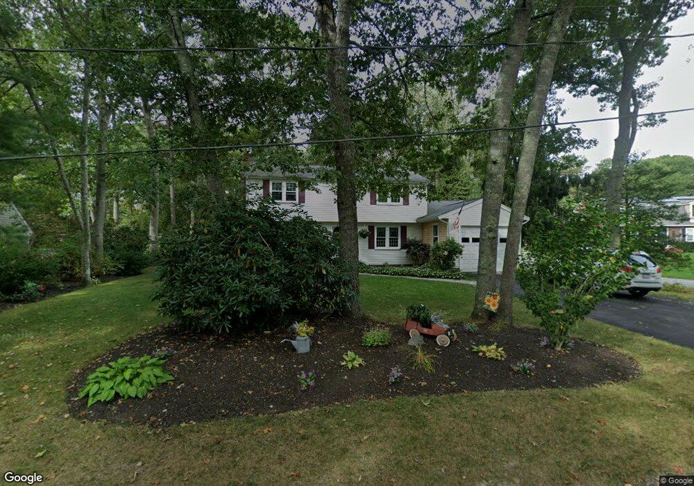
4 Dove Ln Mashpee, MA 02649
Estimated Value: $679,206 - $760,000
4
Beds
2
Baths
2,201
Sq Ft
$328/Sq Ft
Est. Value
About This Home
This home is located at 4 Dove Ln, Mashpee, MA 02649 and is currently estimated at $721,802, approximately $327 per square foot. 4 Dove Ln is a home located in Barnstable County with nearby schools including Kenneth C. Coombs School, Quashnet School, and Mashpee Middle School.
Ownership History
Date
Name
Owned For
Owner Type
Purchase Details
Closed on
Apr 25, 2024
Sold by
Merrick Linda J
Bought by
Linda J Merrick Irt and Merrick
Current Estimated Value
Purchase Details
Closed on
May 12, 2000
Sold by
Lafond Romeo F and Lafond Carol A
Bought by
Merrick Patrick A and Merrick Linda J
Create a Home Valuation Report for This Property
The Home Valuation Report is an in-depth analysis detailing your home's value as well as a comparison with similar homes in the area
Purchase History
| Date | Buyer | Sale Price | Title Company |
|---|---|---|---|
| Linda J Merrick Irt | -- | None Available | |
| Linda J Merrick Irt | -- | None Available | |
| Merrick Patrick A | $170,500 | -- | |
| Merrick Patrick A | $170,500 | -- |
Source: Public Records
Mortgage History
| Date | Status | Borrower | Loan Amount |
|---|---|---|---|
| Previous Owner | Merrick Patrick A | $220,000 | |
| Previous Owner | Merrick Patrick A | $220,000 |
Source: Public Records
Tax History
| Year | Tax Paid | Tax Assessment Tax Assessment Total Assessment is a certain percentage of the fair market value that is determined by local assessors to be the total taxable value of land and additions on the property. | Land | Improvement |
|---|---|---|---|---|
| 2025 | $3,627 | $547,900 | $216,500 | $331,400 |
| 2024 | $3,268 | $508,300 | $196,900 | $311,400 |
| 2023 | $3,080 | $439,400 | $187,500 | $251,900 |
| 2022 | $2,951 | $361,200 | $152,400 | $208,800 |
| 2021 | $7,401 | $320,000 | $137,300 | $182,700 |
| 2020 | $7,342 | $307,800 | $132,000 | $175,800 |
| 2019 | $2,670 | $295,000 | $132,000 | $163,000 |
| 2018 | $6,549 | $279,600 | $126,300 | $153,300 |
| 2017 | $2,421 | $263,400 | $126,300 | $137,100 |
| 2016 | $2,344 | $253,700 | $126,300 | $127,400 |
| 2015 | $2,263 | $248,400 | $126,300 | $122,100 |
| 2014 | $2,210 | $235,400 | $126,000 | $109,400 |
Source: Public Records
Map
Nearby Homes
- 83 Pond Cir
- 409 Currier Rd
- 211 James Cir
- 168 Ninigret Ave
- 163 Ninigret Ave
- 26 Highland St
- 114 Doran Dr
- 54 Sassacus Rd
- 185 Wheeler Rd
- 160 Algonquin Ave
- 171 Currier Rd
- 66 Highland St
- 44 Twin Oaks Dr Unit 44
- 44 Twin Oaks Dr
- 15 Pebble Beach Ave Unit 2005-103
- 15 Pebble Beach Ave
- 6 Masters Ct
- 4 N Ridge Rd
- 4 N Ridge Rd Unit 431
- 9 Horseshoe Bend Way
- 125 Pond Cir
- 8 Dove Ln
- 129 Pond Cir
- 3 Dove Ln
- 5 Dove Ln
- 122 Pond Cir
- 130 Pond Cir
- 0 Hooppole Rd Unit 72110820
- 0 Hooppole Rd Unit 6017245
- 0 Hooppole Rd Unit 5007098
- 0 Hooppole Rd Unit 41314
- 0 Hooppole Rd Unit 2029541
- 111 Pond Cir
- 135 Pond Cir
- 112 Pond Cir
- 50 Pond Cir
- 54 Pond Cir
- 46 Pond Cir
- 6 Robin Ln
- 2 Robin Ln
Your Personal Tour Guide
Ask me questions while you tour the home.