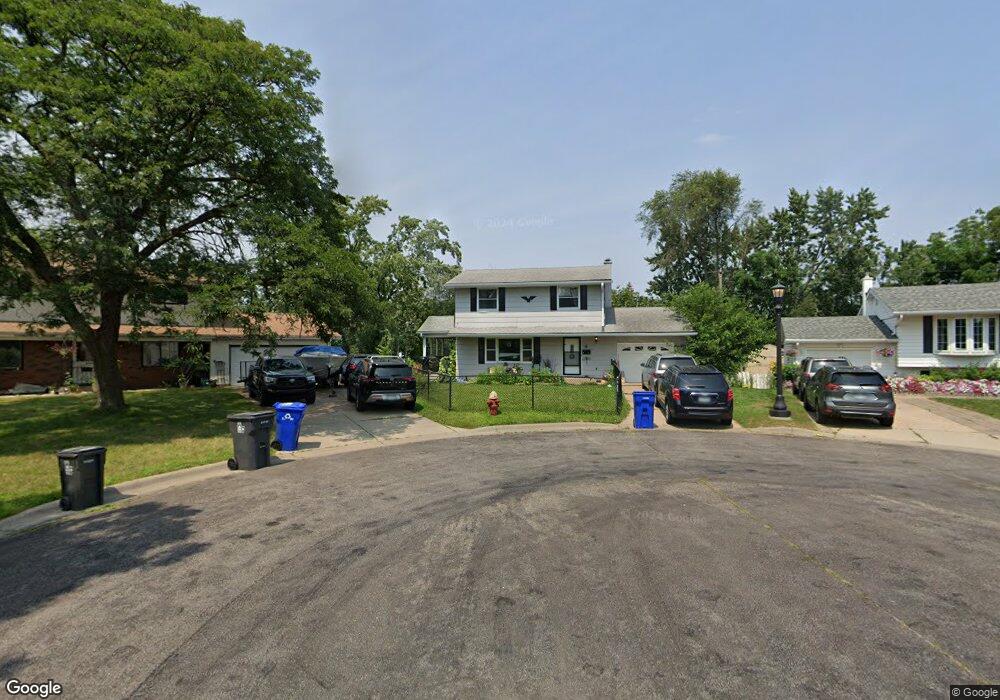
4 Linder Ct Saint Paul, MN 55106
Battle Creek NeighborhoodEstimated Value: $288,000 - $339,000
3
Beds
2
Baths
1,106
Sq Ft
$283/Sq Ft
Est. Value
About This Home
This home is located at 4 Linder Ct, Saint Paul, MN 55106 and is currently estimated at $313,192, approximately $283 per square foot. 4 Linder Ct is a home located in Ramsey County with nearby schools including Battle Creek Elementary School, Battle Creek Middle School, and Harding Senior High School.
Ownership History
Date
Name
Owned For
Owner Type
Purchase Details
Closed on
Aug 24, 2015
Sold by
Hunter Mary Jo
Bought by
Lauterbach Elizabeth J and Lauterbach Raun P
Current Estimated Value
Home Financials for this Owner
Home Financials are based on the most recent Mortgage that was taken out on this home.
Original Mortgage
$111,500
Outstanding Balance
$87,724
Interest Rate
4.04%
Mortgage Type
New Conventional
Estimated Equity
$225,468
Purchase Details
Closed on
May 23, 1996
Sold by
Siers Carol J
Bought by
Hunter Gary M and Hunter Mary J
Create a Home Valuation Report for This Property
The Home Valuation Report is an in-depth analysis detailing your home's value as well as a comparison with similar homes in the area
Home Values in the Area
Average Home Value in this Area
Purchase History
| Date | Buyer | Sale Price | Title Company |
|---|---|---|---|
| Lauterbach Elizabeth J | $135,484 | Global Closing | |
| Hunter Gary M | $85,000 | -- |
Source: Public Records
Mortgage History
| Date | Status | Borrower | Loan Amount |
|---|---|---|---|
| Open | Lauterbach Elizabeth J | $111,500 |
Source: Public Records
Tax History Compared to Growth
Tax History
| Year | Tax Paid | Tax Assessment Tax Assessment Total Assessment is a certain percentage of the fair market value that is determined by local assessors to be the total taxable value of land and additions on the property. | Land | Improvement |
|---|---|---|---|---|
| 2025 | $3,926 | $317,300 | $68,500 | $248,800 |
| 2023 | $3,926 | $261,900 | $40,100 | $221,800 |
| 2022 | $3,714 | $277,600 | $40,100 | $237,500 |
| 2021 | $3,128 | $240,600 | $40,100 | $200,500 |
| 2020 | $3,028 | $213,100 | $40,100 | $173,000 |
| 2019 | $2,464 | $194,700 | $40,100 | $154,600 |
| 2018 | $2,012 | $161,000 | $40,100 | $120,900 |
| 2017 | $2,040 | $140,000 | $40,100 | $99,900 |
| 2016 | $2,244 | $0 | $0 | $0 |
| 2015 | $2,256 | $152,900 | $40,100 | $112,800 |
| 2014 | $1,810 | $0 | $0 | $0 |
Source: Public Records
Map
Nearby Homes
- 1450 Fremont Ave
- 1538 Wilson Ave
- 1489 6th St E
- 1600 Old Hudson Rd
- 1685 Fremont Ave
- 1551 Margaret St
- 1493 Margaret St
- 1351 3rd St E
- 1443 Pacific St
- 1590 Minnehaha Ave E
- 1303 Fremont Ave
- 1320 Wilson Ave
- 267 Hazelwood St
- 1356 Beech St
- 1333 Pacific St
- 1365 Beech St
- 1269 Wilson Ave
- 1257 Wilson Ave
- 1675 Minnehaha Ave E
- 1367 Minnehaha Ave E