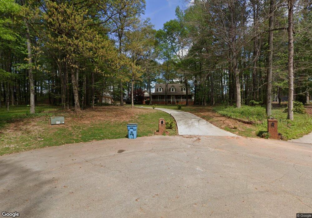
40 Doubletree Unit 10 Stockbridge, GA 30281
Estimated Value: $476,293 - $592,000
3
Beds
4
Baths
3,370
Sq Ft
$154/Sq Ft
Est. Value
About This Home
This home is located at 40 Doubletree Unit 10, Stockbridge, GA 30281 and is currently estimated at $520,573, approximately $154 per square foot. 40 Doubletree Unit 10 is a home located in Henry County with nearby schools including Pleasant Grove Elementary School, Woodland Middle School, and Woodland High School.
Ownership History
Date
Name
Owned For
Owner Type
Purchase Details
Closed on
Dec 15, 2014
Sold by
Ingram Cornelius B
Bought by
Strain Warrene M and Strain Rebecca H
Current Estimated Value
Home Financials for this Owner
Home Financials are based on the most recent Mortgage that was taken out on this home.
Original Mortgage
$294,566
Outstanding Balance
$228,350
Interest Rate
4.25%
Mortgage Type
FHA
Estimated Equity
$292,223
Create a Home Valuation Report for This Property
The Home Valuation Report is an in-depth analysis detailing your home's value as well as a comparison with similar homes in the area
Home Values in the Area
Average Home Value in this Area
Purchase History
| Date | Buyer | Sale Price | Title Company |
|---|---|---|---|
| Strain Warrene M | $300,000 | -- |
Source: Public Records
Mortgage History
| Date | Status | Borrower | Loan Amount |
|---|---|---|---|
| Open | Strain Warrene M | $294,566 |
Source: Public Records
Tax History Compared to Growth
Tax History
| Year | Tax Paid | Tax Assessment Tax Assessment Total Assessment is a certain percentage of the fair market value that is determined by local assessors to be the total taxable value of land and additions on the property. | Land | Improvement |
|---|---|---|---|---|
| 2025 | $1,426 | $205,800 | $20,000 | $185,800 |
| 2024 | $1,426 | $183,760 | $20,000 | $163,760 |
| 2023 | $1,237 | $177,320 | $18,000 | $159,320 |
| 2022 | $1,419 | $161,000 | $16,000 | $145,000 |
| 2021 | $1,392 | $136,480 | $16,000 | $120,480 |
| 2020 | $1,401 | $133,600 | $12,000 | $121,600 |
| 2019 | $1,401 | $130,360 | $12,000 | $118,360 |
| 2018 | $1,402 | $125,000 | $12,000 | $113,000 |
| 2016 | $1,371 | $118,760 | $12,000 | $106,760 |
| 2015 | $4,252 | $119,240 | $12,000 | $107,240 |
| 2014 | $3,917 | $104,240 | $12,000 | $92,240 |
Source: Public Records
Map
Nearby Homes
- 187 Buffalo Trace
- 316 Moab Ct
- 621 Sidney Ct
- 617 Sidney Ct
- 613 Sidney Ct
- 609 Sidney Ct
- 425 Sheridan Dr
- 605 Sidney Ct
- Henry II Plan at Grandview at Millers Mill
- Isabella V Plan at Grandview at Millers Mill
- Meridian II Plan at Grandview at Millers Mill
- Rosemary II Plan at Grandview at Millers Mill
- Clarity Plan at Grandview at Millers Mill
- Stonefield Plan at Grandview at Millers Mill
- Rainier Plan at Grandview at Millers Mill
- 55 Gill Ln
- 1205 Mill Creek Ln
- 0 Highway 155 N Unit 10380875
- 176 Northmill Pkwy
- 270 Hunt Ridge Dr
- 40 Doubletree
- 35 Doubletree
- 30 Doubletree
- 308 Moab Ct
- 25 Doubletree Unit 12
- 25 Doubletree
- 104 Plantation Way
- 142 Buffalo Trace
- 94 Plantation Way
- 15 Doubletree
- 70 Plantation Way
- 150 Plantation Way
- 44 Plantation Way
- 105 Plantation Way
- 131 Plantation Way
- 83 Plantation Way
- 74 Plantation Dr
- 92 Plantation Dr
- 127 Buffalo Trace
- 15 Tracechain