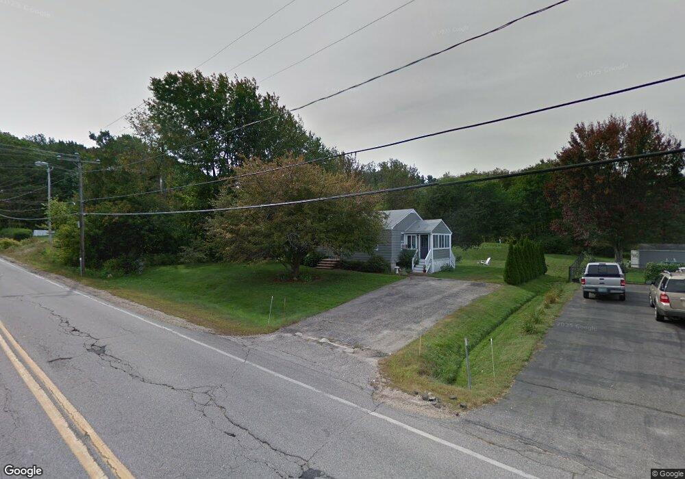
40 Rollins Rd Rollinsford, NH 03869
Estimated Value: $355,790 - $411,000
3
Beds
1
Bath
1,331
Sq Ft
$286/Sq Ft
Est. Value
About This Home
This home is located at 40 Rollins Rd, Rollinsford, NH 03869 and is currently estimated at $380,948, approximately $286 per square foot. 40 Rollins Rd is a home located in Strafford County with nearby schools including Rollinsford Grade School, Seacoast Charter School, and St Mary Academy.
Create a Home Valuation Report for This Property
The Home Valuation Report is an in-depth analysis detailing your home's value as well as a comparison with similar homes in the area
Home Values in the Area
Average Home Value in this Area
Tax History Compared to Growth
Tax History
| Year | Tax Paid | Tax Assessment Tax Assessment Total Assessment is a certain percentage of the fair market value that is determined by local assessors to be the total taxable value of land and additions on the property. | Land | Improvement |
|---|---|---|---|---|
| 2024 | $4,813 | $293,300 | $155,200 | $138,100 |
| 2023 | $4,511 | $293,300 | $155,200 | $138,100 |
| 2022 | $4,361 | $293,300 | $155,200 | $138,100 |
| 2021 | $4,483 | $183,900 | $92,800 | $91,100 |
| 2020 | $4,539 | $183,900 | $92,800 | $91,100 |
| 2019 | $4,158 | $183,900 | $92,800 | $91,100 |
| 2018 | $4,439 | $183,900 | $92,800 | $91,100 |
| 2016 | $4,295 | $153,500 | $68,400 | $85,100 |
| 2015 | $4,211 | $153,500 | $68,400 | $85,100 |
| 2014 | $4,068 | $153,500 | $68,400 | $85,100 |
| 2013 | $4,126 | $153,500 | $68,400 | $85,100 |
Source: Public Records
Map
Nearby Homes
- 34 Floral Ave Unit 5
- 36 Oak St
- 713 Central Ave Unit 1
- 96 Broadway Unit 98
- 725 Central Ave Unit 203
- 725 Central Ave Unit LL03
- 725 Central Ave Unit 301
- 725 Central Ave Unit 302
- 725 Central Ave Unit LL01
- 725 Central Ave Unit 304
- Lot 6 Emerson Ridge Unit 6
- 815 Central Ave
- Lot 8 Emerson Ridge Unit 8
- 24 Atlantic Ave
- 23 Townsend Dr
- 45 New York St Unit 8
- 27 Atlantic Ave
- 39 New York St
- 47 Central Ave
- 46-50 Cocheco St