Estimated Value: $835,000 - $1,340,529
4
Beds
5
Baths
3,063
Sq Ft
$331/Sq Ft
Est. Value
About This Home
This home is located at 401 Ramsdell Rd, Gray, ME 04039 and is currently estimated at $1,014,882, approximately $331 per square foot. 401 Ramsdell Rd is a home located in Cumberland County with nearby schools including Gray-New Gloucester High School.
Ownership History
Date
Name
Owned For
Owner Type
Purchase Details
Closed on
Apr 2, 2021
Sold by
Johnson Mary L
Bought by
Hamilton Douglas and Hamilton Michele
Current Estimated Value
Home Financials for this Owner
Home Financials are based on the most recent Mortgage that was taken out on this home.
Original Mortgage
$300,000
Outstanding Balance
$268,778
Interest Rate
2.8%
Mortgage Type
Purchase Money Mortgage
Estimated Equity
$746,104
Create a Home Valuation Report for This Property
The Home Valuation Report is an in-depth analysis detailing your home's value as well as a comparison with similar homes in the area
Home Values in the Area
Average Home Value in this Area
Purchase History
| Date | Buyer | Sale Price | Title Company |
|---|---|---|---|
| Hamilton Douglas | -- | None Available |
Source: Public Records
Mortgage History
| Date | Status | Borrower | Loan Amount |
|---|---|---|---|
| Open | Hamilton Douglas | $300,000 |
Source: Public Records
Tax History
| Year | Tax Paid | Tax Assessment Tax Assessment Total Assessment is a certain percentage of the fair market value that is determined by local assessors to be the total taxable value of land and additions on the property. | Land | Improvement |
|---|---|---|---|---|
| 2025 | $9,207 | $951,100 | $391,200 | $559,900 |
| 2024 | $8,203 | $845,700 | $391,200 | $454,500 |
| 2023 | $7,296 | $480,600 | $195,600 | $285,000 |
| 2022 | $6,704 | $480,600 | $195,600 | $285,000 |
| 2021 | $6,631 | $453,900 | $195,600 | $258,300 |
| 2020 | $5,013 | $439,200 | $195,600 | $243,600 |
| 2019 | $6,478 | $439,200 | $195,600 | $243,600 |
| 2018 | $5,785 | $439,200 | $195,600 | $243,600 |
| 2017 | $6,492 | $365,100 | $133,900 | $231,200 |
| 2016 | $6,681 | $365,100 | $133,900 | $231,200 |
| 2015 | $6,645 | $365,100 | $133,900 | $231,200 |
| 2014 | $6,645 | $365,100 | $133,900 | $231,200 |
| 2012 | $5,708 | $360,095 | $133,895 | $226,200 |
Source: Public Records
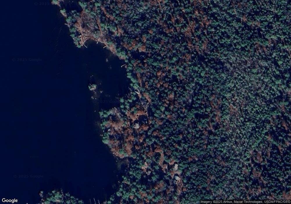
Map
Nearby Homes
- 2 Gore Rd
- 150 Birchwood Rd
- 17 Northern Oaks Dr
- M011-006 Westwood Rd
- 4 Chelsey Ln
- 15 Presidential View
- 224 Shaker Rd
- 0 Gore Unit 1655428
- 20 Bittersweet Way
- 39 Pipeline Rd
- lot #8 Bedrock Terrace
- 16 Peterson Rd
- 99 Enterprise Dr
- 14 Yarmouth Rd
- 34 Smith Rd
- 13 Yarmouth Rd
- 1112 Roosevelt Trail Unit 8
- 25 Yarmouth Rd
- 1083 Roosevelt Trail
- 0 Colley Hill Rd
- 400 Ramsdell Rd
- 404 Ramsdell Rd
- 397 Ramsdell Rd
- 408 Ramsdell Rd
- 410 Ramsdell Rd
- 415 Ramsdell Rd
- 393 Ramsdell Rd
- 419 Ramsdell Rd
- 412 Ramsdell Rd
- 416 Ramsdell Rd
- 431 Ramsdell Rd
- 423 Ramsdell Rd
- 381 Ramsdell Rd
- 420 Ramsdell Rd
- 433 Ramsdell Rd
- 437 Ramsdell Rd
- 439 Ramsdell Rd
- 436 Ramsdell Rd
- 378 Ramsdell Rd
- 447 Ramsdell Rd
Your Personal Tour Guide
Ask me questions while you tour the home.