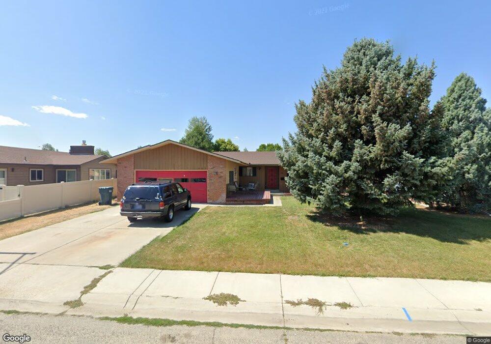
402 31st St W Billings, MT 59102
West End NeighborhoodEstimated Value: $341,000 - $398,000
4
Beds
3
Baths
1,324
Sq Ft
$287/Sq Ft
Est. Value
About This Home
This home is located at 402 31st St W, Billings, MT 59102 and is currently estimated at $379,356, approximately $286 per square foot. 402 31st St W is a home located in Yellowstone County with nearby schools including Meadowlark School, Will James Junior High School, and Billings West High School.
Ownership History
Date
Name
Owned For
Owner Type
Purchase Details
Closed on
Oct 18, 2010
Sold by
Brenden Alice
Bought by
Frickle Kenneth Michael
Current Estimated Value
Home Financials for this Owner
Home Financials are based on the most recent Mortgage that was taken out on this home.
Original Mortgage
$185,994
Outstanding Balance
$123,670
Interest Rate
4.5%
Mortgage Type
FHA
Estimated Equity
$255,686
Create a Home Valuation Report for This Property
The Home Valuation Report is an in-depth analysis detailing your home's value as well as a comparison with similar homes in the area
Home Values in the Area
Average Home Value in this Area
Purchase History
| Date | Buyer | Sale Price | Title Company |
|---|---|---|---|
| Frickle Kenneth Michael | -- | None Available |
Source: Public Records
Mortgage History
| Date | Status | Borrower | Loan Amount |
|---|---|---|---|
| Open | Frickle Kenneth Michael | $185,994 |
Source: Public Records
Tax History Compared to Growth
Tax History
| Year | Tax Paid | Tax Assessment Tax Assessment Total Assessment is a certain percentage of the fair market value that is determined by local assessors to be the total taxable value of land and additions on the property. | Land | Improvement |
|---|---|---|---|---|
| 2025 | $3,384 | $373,100 | $50,649 | $322,451 |
| 2024 | $3,384 | $336,600 | $48,225 | $288,375 |
| 2023 | $3,383 | $336,600 | $48,225 | $288,375 |
| 2022 | $2,931 | $254,300 | $0 | $0 |
| 2021 | $2,784 | $254,300 | $0 | $0 |
| 2020 | $2,900 | $254,800 | $0 | $0 |
| 2019 | $2,772 | $254,800 | $0 | $0 |
| 2018 | $2,637 | $236,200 | $0 | $0 |
| 2017 | $2,568 | $236,200 | $0 | $0 |
| 2016 | $2,512 | $233,400 | $0 | $0 |
| 2015 | $2,459 | $233,400 | $0 | $0 |
| 2014 | $1,987 | $97,891 | $0 | $0 |
Source: Public Records
Map
Nearby Homes
- 2937 Miles Ave
- 108 30th St W
- 3113 Saint Johns Ave
- 3203 Lynn Ave
- 909 Maywood Dr
- 915 Maywood Dr
- 3231 Central Ave
- 2905 Lynwood Cir
- 2900 Manhattan Dr
- 2702 Howard Ave
- 3087 Hunters Ridge Loop
- 1125 30th St W
- 3079 Hunters Ridge Loop
- 2645 Custer Ave
- 2636 Custer Ave
- 2608 Terry Ave
- 2903 Belvedere Dr
- 3291 Banff Ave
- 2845 Cumberland Hill Rd
- 207 Boston Hill Rd
- 408 31st St W
- 3101 N Daffodil Dr
- 3111 N Daffodil Dr
- 412 31st St W
- 507 Luther Cir
- 401 31st St W
- 3115 N Daffodil Dr
- 411 31st St W
- 391 31st St W
- 511 Luther Cir
- 415 31st St W
- 502 31st St W
- 3121 N Daffodil Dr
- 3100 N Daffodil Dr
- 3110 N Daffodil Dr
- 383 31st St W
- 501 Luther Cir
- 3114 N Daffodil Dr
- 3125 N Daffodil Dr
- 501 31st St W