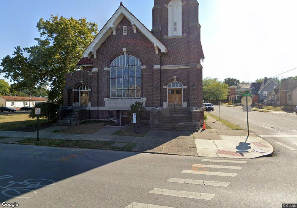
402 N Broad St Lancaster, OH 43130
Studio
--
Bath
12,143
Sq Ft
7,841
Sq Ft Lot
About This Home
This home is located at 402 N Broad St, Lancaster, OH 43130. 402 N Broad St is a home located in Fairfield County with nearby schools including Thomas Ewing Junior High School, Lancaster High School, and St Mary Elementary School.
Ownership History
Date
Name
Owned For
Owner Type
Purchase Details
Closed on
Feb 25, 2025
Sold by
207 South Broad Street Llc
Bought by
Mills Development Llc
Purchase Details
Closed on
May 17, 2022
Sold by
Oh Annual Conference W and Untd Me
Bought by
207 South Broad Street Llc
Home Financials for this Owner
Home Financials are based on the most recent Mortgage that was taken out on this home.
Original Mortgage
$700,000
Interest Rate
5.11%
Mortgage Type
Construction
Create a Home Valuation Report for This Property
The Home Valuation Report is an in-depth analysis detailing your home's value as well as a comparison with similar homes in the area
Home Values in the Area
Average Home Value in this Area
Purchase History
| Date | Buyer | Sale Price | Title Company |
|---|---|---|---|
| Mills Development Llc | -- | None Listed On Document | |
| 207 South Broad Street Llc | -- | None Listed On Document |
Source: Public Records
Mortgage History
| Date | Status | Borrower | Loan Amount |
|---|---|---|---|
| Previous Owner | 207 South Broad Street Llc | $700,000 |
Source: Public Records
Tax History
| Year | Tax Paid | Tax Assessment Tax Assessment Total Assessment is a certain percentage of the fair market value that is determined by local assessors to be the total taxable value of land and additions on the property. | Land | Improvement |
|---|---|---|---|---|
| 2025 | $13,142 | $236,890 | $7,860 | $229,030 |
| 2024 | $13,142 | $146,180 | $4,810 | $141,370 |
| 2023 | $7,435 | $146,180 | $4,810 | $141,370 |
| 2022 | $0 | $141,670 | $4,810 | $136,860 |
| 2021 | $0 | $141,670 | $4,810 | $136,860 |
| 2020 | $0 | $141,670 | $4,810 | $136,860 |
| 2019 | $0 | $141,670 | $4,810 | $136,860 |
| 2018 | $0 | $149,890 | $4,810 | $145,080 |
| 2017 | $0 | $140,600 | $4,810 | $135,790 |
| 2016 | $0 | $140,600 | $4,810 | $135,790 |
| 2015 | -- | $140,600 | $4,810 | $135,790 |
| 2014 | -- | $140,600 | $4,810 | $135,790 |
| 2013 | -- | $140,600 | $4,810 | $135,790 |
Source: Public Records
Map
Nearby Homes
- 153 King St
- 526 N Columbus St
- 515 N Columbus St
- 233 Union St
- 600 N High St
- 249 N Pearl Ave
- 627 N Columbus St
- 154 E Main St
- 0 Slocum Ave
- 123 Arnold Ave
- 820 N Broad St
- 311 E Allen St
- 0 N Columbus St
- 165 Lake St
- 130 W Fair Ave
- 517 N Maple St
- 342 E Chestnut St
- 925 N Columbus St
- 547 E Mulberry St
- 534 E Wheeling St
Your Personal Tour Guide
Ask me questions while you tour the home.