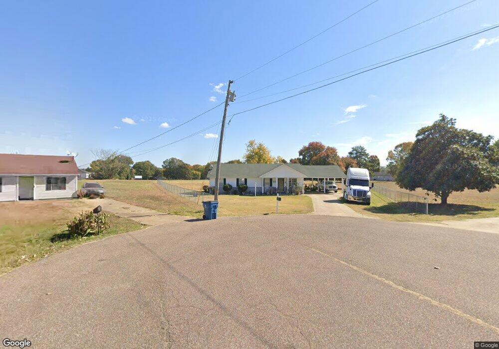
403 E Robin Cir Covington, TN 38019
Estimated Value: $162,000 - $196,656
Studio
2
Baths
1,196
Sq Ft
$153/Sq Ft
Est. Value
About This Home
This home is located at 403 E Robin Cir, Covington, TN 38019 and is currently estimated at $182,664, approximately $152 per square foot. 403 E Robin Cir is a home located in Tipton County with nearby schools including Crestview Elementary School, Crestview Middle School, and Covington High School.
Ownership History
Date
Name
Owned For
Owner Type
Purchase Details
Closed on
Sep 27, 2021
Sold by
Payne Doretta M
Bought by
Hartzog Doretta M and Hartzog Darrell
Current Estimated Value
Purchase Details
Closed on
Jan 26, 1998
Sold by
Coulston R L & Sons Inc
Bought by
Dorettam Payne
Purchase Details
Closed on
Oct 2, 1996
Bought by
Coulston R L & Sons Inc
Purchase Details
Closed on
Oct 1, 1996
Sold by
Hall Jack S
Bought by
R L Coulston & Sons
Purchase Details
Closed on
Dec 28, 1989
Bought by
Hall Jack S and Hall Jean T
Purchase Details
Closed on
May 13, 1983
Bought by
Baskin S J
Create a Home Valuation Report for This Property
The Home Valuation Report is an in-depth analysis detailing your home's value as well as a comparison with similar homes in the area
Purchase History
| Date | Buyer | Sale Price | Title Company |
|---|---|---|---|
| Hartzog Doretta M | -- | None Available | |
| Dorettam Payne | $56,000 | -- | |
| Coulston R L & Sons Inc | $16,000 | -- | |
| R L Coulston & Sons | $8,000 | -- | |
| Hall Jack S | -- | -- | |
| Baskin S J | -- | -- |
Source: Public Records
Tax History
| Year | Tax Paid | Tax Assessment Tax Assessment Total Assessment is a certain percentage of the fair market value that is determined by local assessors to be the total taxable value of land and additions on the property. | Land | Improvement |
|---|---|---|---|---|
| 2025 | -- | $34,600 | $4,250 | $30,350 |
| 2024 | -- | $34,600 | $4,250 | $30,350 |
| 2023 | $877 | $34,600 | $4,250 | $30,350 |
| 2022 | $796 | $24,275 | $3,125 | $21,150 |
| 2021 | $797 | $24,275 | $3,125 | $21,150 |
| 2020 | $796 | $24,275 | $3,125 | $21,150 |
| 2019 | $859 | $22,900 | $3,125 | $19,775 |
| 2018 | $859 | $22,900 | $3,125 | $19,775 |
| 2017 | $859 | $22,900 | $3,125 | $19,775 |
| 2016 | $859 | $22,900 | $3,125 | $19,775 |
| 2015 | $858 | $22,900 | $3,125 | $19,775 |
| 2014 | $858 | $22,901 | $0 | $0 |
Source: Public Records
Map
Nearby Homes
- 1844 Wooten St
- 0 Hwy 51
- 1186 U S 51
- 1015 Wortham Dr
- LOT 7 Oil Mill Rd
- LOT 5 Oil Mill Rd
- LOT 3 Oil Mill Rd
- LOT 4 Oil Mill Rd
- LOT 8 Oil Mill Rd
- LOT 6 Oil Mill Rd
- 451 Yarbrough Rd
- 417 Turner Ln
- 902 Hatchie Ave
- 900 Peete St
- 320 N High St
- 316 N High St
- 664 Rialto Rd
- 301 N Maple St
- 1019 Hill Ave
- 215 N Maple St
- 400 E Robin Cir
- 407 E Robin Cir
- 407 E Robin Cir
- 407 E Robin Cove
- 408 E Robin Cir
- 415 E Robin Cir
- 113 Stout Cove
- 416 E Robin Cir
- 107 Stout Cove
- 402 Wortham Rd
- 400 Wortham Rd
- 404 Wortham Rd
- 398 Wortham Rd
- 406 Wortham Rd
- 118 Stout Cove
- 1518 Cardinal Dr
- 124 Dove Cove E
- 89 Stout Cove
- 1512 Cardinal Dr
- 424 E Robin Cir
Your Personal Tour Guide
Ask me questions while you tour the home.