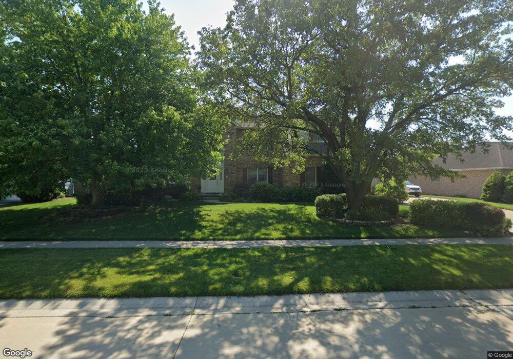
404 N Durkin Dr Springfield, IL 62702
Estimated Value: $468,000 - $598,000
4
Beds
4
Baths
4,249
Sq Ft
$120/Sq Ft
Est. Value
About This Home
This home is located at 404 N Durkin Dr, Springfield, IL 62702 and is currently estimated at $511,181, approximately $120 per square foot. 404 N Durkin Dr is a home located in Sangamon County with nearby schools including Dubois Elementary School, U.S. Grant Middle School, and Springfield High School.
Ownership History
Date
Name
Owned For
Owner Type
Purchase Details
Closed on
Mar 13, 2023
Sold by
Pezall Gary P and Pezall Traci R
Bought by
Evoy Curt and Campbell Stacie
Current Estimated Value
Home Financials for this Owner
Home Financials are based on the most recent Mortgage that was taken out on this home.
Original Mortgage
$375,250
Outstanding Balance
$331,278
Interest Rate
5.25%
Mortgage Type
New Conventional
Estimated Equity
$179,903
Purchase Details
Closed on
Dec 2, 2011
Create a Home Valuation Report for This Property
The Home Valuation Report is an in-depth analysis detailing your home's value as well as a comparison with similar homes in the area
Home Values in the Area
Average Home Value in this Area
Purchase History
| Date | Buyer | Sale Price | Title Company |
|---|---|---|---|
| Evoy Curt | $395,000 | -- | |
| -- | $319,000 | -- |
Source: Public Records
Mortgage History
| Date | Status | Borrower | Loan Amount |
|---|---|---|---|
| Open | Evoy Curt | $375,250 |
Source: Public Records
Tax History Compared to Growth
Tax History
| Year | Tax Paid | Tax Assessment Tax Assessment Total Assessment is a certain percentage of the fair market value that is determined by local assessors to be the total taxable value of land and additions on the property. | Land | Improvement |
|---|---|---|---|---|
| 2024 | $11,898 | $147,647 | $21,351 | $126,296 |
| 2023 | $10,951 | $134,862 | $19,502 | $115,360 |
| 2022 | $10,117 | $123,905 | $18,499 | $105,406 |
| 2021 | $9,745 | $119,265 | $17,806 | $101,459 |
| 2020 | $9,553 | $119,444 | $17,833 | $101,611 |
| 2019 | $9,372 | $119,028 | $17,771 | $101,257 |
| 2018 | $8,620 | $113,017 | $17,685 | $95,332 |
| 2017 | $8,848 | $111,555 | $17,456 | $94,099 |
| 2016 | $8,667 | $109,928 | $17,201 | $92,727 |
| 2015 | $8,577 | $108,613 | $16,995 | $91,618 |
| 2014 | $8,268 | $107,911 | $16,885 | $91,026 |
| 2013 | $8,083 | $105,765 | $16,885 | $88,880 |
Source: Public Records
Map
Nearby Homes
- 700 Country Meadows Dr
- 2905 Cider Mill Ln
- 801 Coventry Point
- 852 N Oxford Rd
- 2929 Cider Mill Ln
- 9 Whisperglen Ln Unit 66
- 2650 Cooper Ave Unit 304
- 21 Trailridge Ln
- 2608 Cardifs Ave
- 75 Meadowlark Ln
- 1038 N Koke Mill Rd
- 313 S Durkin Dr Unit 313
- 123 Dickinson Rd
- 301 Astoria Rd
- 3229 W Point Dr
- 105 Timberridge Dr
- 1320 Churchill Rd
- 108 Cartwright Dr
- 3008 W Lawrence Ave
- 2205 Whitefield Rd
- 408 N Durkin Dr
- 2621 Hazelnut Dr
- 405 Colbrook Dr
- 467 N Durkin Dr
- 401 Colbrook Dr
- 409 Colbrook Dr
- 405 N Durkin Dr
- 500 N Durkin Dr
- 401 N Durkin Dr
- 501 Colbrook Dr
- 501 N Durkin Dr
- 2620 Hazelnut Dr
- 2624 Hazelnut Dr
- 504 N Durkin Dr
- 505 Colbrook Dr
- 400 Colbrook Dr
- 2616 Hazelnut Dr
- 404 Colbrook Dr
- 408 Silver Spring Dr
- 412 Silver Spring Dr