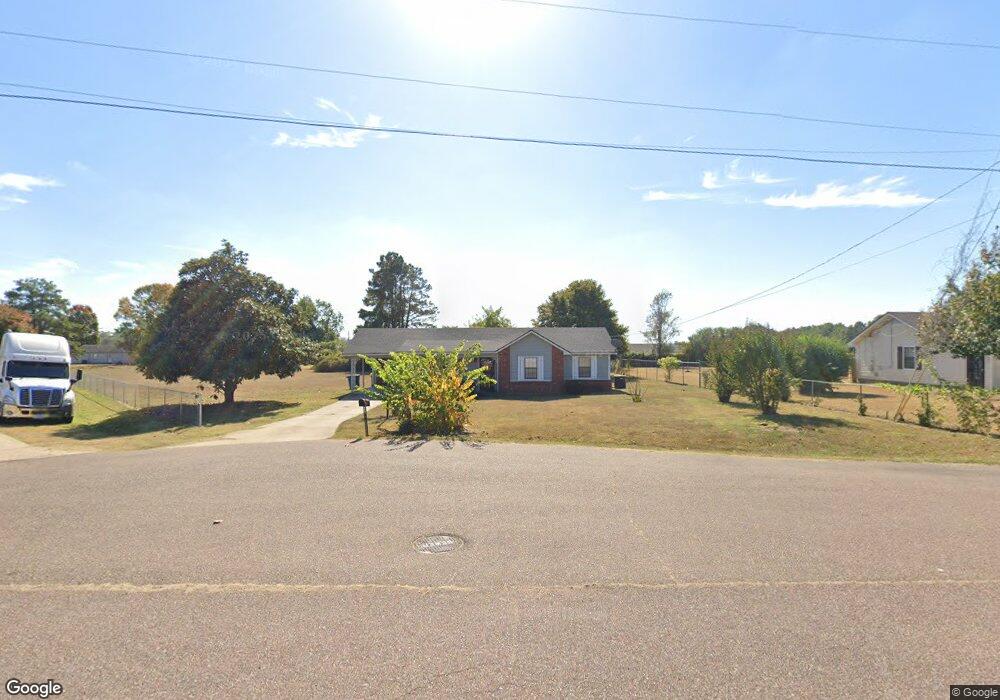
407 E Robin Cir Covington, TN 38019
Estimated Value: $128,000 - $215,568
Studio
2
Baths
1,072
Sq Ft
$148/Sq Ft
Est. Value
About This Home
This home is located at 407 E Robin Cir, Covington, TN 38019 and is currently estimated at $158,892, approximately $148 per square foot. 407 E Robin Cir is a home located in Tipton County with nearby schools including Crestview Elementary School, Crestview Middle School, and Covington High School.
Ownership History
Date
Name
Owned For
Owner Type
Purchase Details
Closed on
Feb 10, 2021
Sold by
Estate Of Alma R Hawkins
Bought by
Scoggins Lance and Scoggins Courtney
Current Estimated Value
Purchase Details
Closed on
Nov 5, 1991
Bought by
Hawkins James E and Hawkins Alma R
Purchase Details
Closed on
Dec 28, 1989
Bought by
Hall Jack S and Hall Jean T
Purchase Details
Closed on
May 13, 1983
Bought by
Baskin S J
Create a Home Valuation Report for This Property
The Home Valuation Report is an in-depth analysis detailing your home's value as well as a comparison with similar homes in the area
Purchase History
| Date | Buyer | Sale Price | Title Company |
|---|---|---|---|
| Scoggins Lance | $54,000 | Realty Title & Escrow Co Inc | |
| Scoggins Lance | -- | Realty Title | |
| Hawkins James E | $7,500 | -- | |
| Hall Jack S | -- | -- | |
| Baskin S J | -- | -- |
Source: Public Records
Tax History
| Year | Tax Paid | Tax Assessment Tax Assessment Total Assessment is a certain percentage of the fair market value that is determined by local assessors to be the total taxable value of land and additions on the property. | Land | Improvement |
|---|---|---|---|---|
| 2025 | -- | $27,475 | $4,250 | $23,225 |
| 2024 | -- | $27,475 | $4,250 | $23,225 |
| 2023 | $354 | $27,475 | $4,250 | $23,225 |
| 2022 | $632 | $19,275 | $3,125 | $16,150 |
| 2021 | $632 | $19,275 | $3,125 | $16,150 |
| 2020 | $632 | $19,275 | $3,125 | $16,150 |
| 2019 | $679 | $18,100 | $3,125 | $14,975 |
| 2018 | $679 | $18,100 | $3,125 | $14,975 |
| 2017 | $679 | $18,100 | $3,125 | $14,975 |
| 2016 | $679 | $18,100 | $3,125 | $14,975 |
| 2015 | $678 | $18,100 | $3,125 | $14,975 |
| 2014 | $678 | $18,105 | $0 | $0 |
Source: Public Records
Map
Nearby Homes
- 1844 Wooten St
- 1186 U S 51
- 0 Hwy 51
- 1015 Wortham Dr
- LOT 7 Oil Mill Rd
- LOT 5 Oil Mill Rd
- LOT 3 Oil Mill Rd
- LOT 4 Oil Mill Rd
- LOT 8 Oil Mill Rd
- LOT 6 Oil Mill Rd
- 451 Yarbrough Rd
- 417 Turner Ln
- 900 Peete St
- 902 Hatchie Ave
- 320 N High St
- 316 N High St
- 301 N Maple St
- 1019 Hill Ave
- 215 N Maple St
- 212 Feezor St
- 407 E Robin Cir
- 407 E Robin Cove
- 415 E Robin Cir
- 403 E Robin Cir
- 400 E Robin Cir
- 416 E Robin Cir
- 408 E Robin Cir
- 404 Wortham Rd
- 406 Wortham Rd
- 1518 Cardinal Dr
- 402 Wortham Rd
- 1512 Cardinal Dr
- 408 Wortham Rd
- 400 Wortham Rd
- 424 E Robin Cir
- 1506 Cardinal Dr
- 113 Stout Cove
- 398 Wortham Rd
- 1608 Cardinal Dr
- 410 Wortham Rd
Your Personal Tour Guide
Ask me questions while you tour the home.