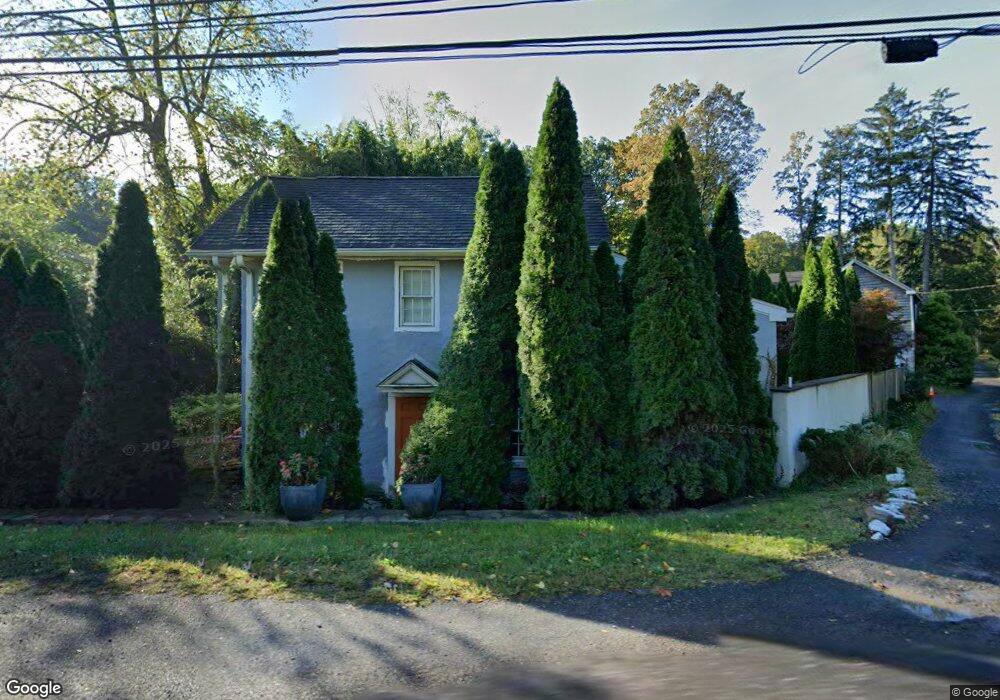
4075 Route 202 Doylestown, PA 18902
Estimated Value: $526,000 - $697,000
3
Beds
2
Baths
2,177
Sq Ft
$277/Sq Ft
Est. Value
About This Home
This home is located at 4075 Route 202, Doylestown, PA 18902 and is currently estimated at $603,637, approximately $277 per square foot. 4075 Route 202 is a home located in Bucks County with nearby schools including Buckingham Elementary School, Holicong Middle School, and Central Bucks High School - East.
Ownership History
Date
Name
Owned For
Owner Type
Purchase Details
Closed on
Jan 26, 2010
Sold by
Mednick Armand
Bought by
Cooper Mark J and Wren Maria F
Current Estimated Value
Home Financials for this Owner
Home Financials are based on the most recent Mortgage that was taken out on this home.
Original Mortgage
$164,000
Outstanding Balance
$108,105
Interest Rate
4.95%
Mortgage Type
New Conventional
Estimated Equity
$495,532
Purchase Details
Closed on
Oct 20, 1960
Bought by
Mednick Armand and Mednick Anita
Create a Home Valuation Report for This Property
The Home Valuation Report is an in-depth analysis detailing your home's value as well as a comparison with similar homes in the area
Home Values in the Area
Average Home Value in this Area
Purchase History
| Date | Buyer | Sale Price | Title Company |
|---|---|---|---|
| Cooper Mark J | $205,000 | None Available | |
| Mednick Armand | -- | -- |
Source: Public Records
Mortgage History
| Date | Status | Borrower | Loan Amount |
|---|---|---|---|
| Open | Cooper Mark J | $164,000 |
Source: Public Records
Tax History Compared to Growth
Tax History
| Year | Tax Paid | Tax Assessment Tax Assessment Total Assessment is a certain percentage of the fair market value that is determined by local assessors to be the total taxable value of land and additions on the property. | Land | Improvement |
|---|---|---|---|---|
| 2025 | $3,678 | $22,590 | $3,780 | $18,810 |
| 2024 | $3,678 | $22,590 | $3,780 | $18,810 |
| 2023 | $3,553 | $22,590 | $3,780 | $18,810 |
| 2022 | $3,511 | $22,590 | $3,780 | $18,810 |
| 2021 | $3,469 | $22,590 | $3,780 | $18,810 |
| 2020 | $3,469 | $22,590 | $3,780 | $18,810 |
| 2019 | $513 | $22,590 | $3,780 | $18,810 |
| 2018 | $3,446 | $22,590 | $3,780 | $18,810 |
| 2017 | $3,418 | $22,590 | $3,780 | $18,810 |
| 2016 | $3,452 | $22,590 | $3,780 | $18,810 |
| 2015 | -- | $22,590 | $3,780 | $18,810 |
| 2014 | -- | $22,590 | $3,780 | $18,810 |
Source: Public Records
Map
Nearby Homes
- 4350 Church Rd
- 3146 Mill Rd
- 3889 Robin Rd
- 4245 Mechanicsville Rd
- 3196 Mill Rd
- 3775 Buckingham Dr
- 2880 Snake Hill Rd
- 2728 Red Gate Dr
- 3111 Burnt House Hill Rd
- 2479 Wheatfield Ln
- lot #3 next to 3739 York Rd
- 2565 Bogarts Tavern Rd
- 249 East Rd
- 3772 Powder Horn Dr
- 34 Houk Rd
- 0 Myers Dr
- 104 Kreutz Ave
- 000 Cherry Ln
- 143 Myers Dr
- 3657 Powder Horn Dr
- 4054 Branches Ln
- 4076 Route 202
- 4081 Route 202
- 4087 Route 202 Unit B
- 4087 Route 202 Unit 1
- 4087 Route 202 Unit A
- 4087 Route 202 Unit 2
- 4087 Route 202 Unit C
- 4087 Route 202
- 2960 Mill Rd
- 4043 Branches Ln
- 2954 Mill Rd
- 4092 Route 202
- 4097 Mill Rd
- 4038 Route 202
- 2943 Mill Rd
- 4143 E State St
- 4011 Branches Ln
- 4106 U S 202 Unit D
- 2968 Mill Rd