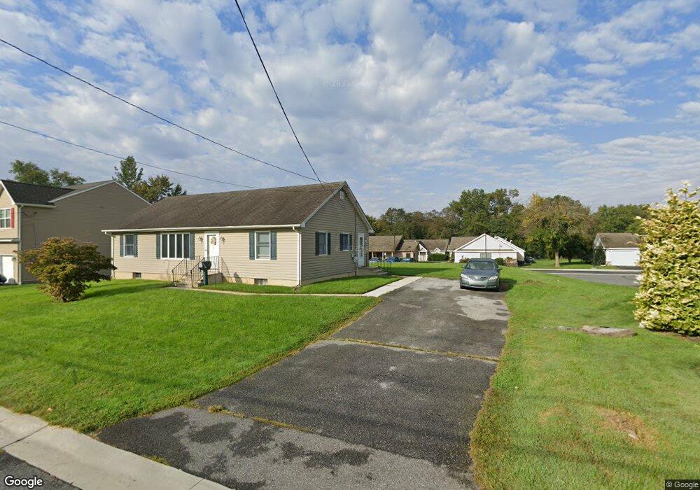
408 Kiamensi Rd Wilmington, DE 19804
Estimated Value: $3,098,000 - $3,316,340
--
Bed
--
Bath
24,618
Sq Ft
$130/Sq Ft
Est. Value
About This Home
This home is located at 408 Kiamensi Rd, Wilmington, DE 19804 and is currently estimated at $3,207,170, approximately $130 per square foot. 408 Kiamensi Rd is a home located in New Castle County with nearby schools including Richey Elementary School, Stanton Middle School, and The John Dickinson School.
Ownership History
Date
Name
Owned For
Owner Type
Purchase Details
Closed on
Jul 26, 2012
Sold by
Buford Manlove Gardens Assocaites Lp
Bought by
Buford Manlove Llc
Current Estimated Value
Home Financials for this Owner
Home Financials are based on the most recent Mortgage that was taken out on this home.
Original Mortgage
$1,100
Outstanding Balance
$763
Interest Rate
3.7%
Mortgage Type
New Conventional
Estimated Equity
$3,206,407
Create a Home Valuation Report for This Property
The Home Valuation Report is an in-depth analysis detailing your home's value as well as a comparison with similar homes in the area
Home Values in the Area
Average Home Value in this Area
Purchase History
| Date | Buyer | Sale Price | Title Company |
|---|---|---|---|
| Buford Manlove Llc | $1,600,000 | None Available |
Source: Public Records
Mortgage History
| Date | Status | Borrower | Loan Amount |
|---|---|---|---|
| Open | Buford Manlove Llc | $1,100 |
Source: Public Records
Tax History Compared to Growth
Tax History
| Year | Tax Paid | Tax Assessment Tax Assessment Total Assessment is a certain percentage of the fair market value that is determined by local assessors to be the total taxable value of land and additions on the property. | Land | Improvement |
|---|---|---|---|---|
| 2024 | $27,914 | $735,900 | $152,700 | $583,200 |
| 2023 | $24,711 | $735,900 | $152,700 | $583,200 |
| 2022 | $24,868 | $735,900 | $152,700 | $583,200 |
| 2021 | $25,731 | $735,900 | $152,700 | $583,200 |
| 2020 | $25,731 | $735,900 | $152,700 | $583,200 |
| 2019 | $25,731 | $735,900 | $152,700 | $583,200 |
| 2018 | $24,405 | $735,900 | $152,700 | $583,200 |
| 2017 | $24,118 | $735,900 | $152,700 | $583,200 |
| 2016 | $23,018 | $735,900 | $152,700 | $583,200 |
| 2015 | -- | $735,900 | $152,700 | $583,200 |
| 2014 | $20,027 | $735,900 | $152,700 | $583,200 |
Source: Public Records
Map
Nearby Homes
- 0 Kiamensi Rd
- 6 Colefax Ct
- 6 Grosvenor Ct Unit 14
- 1217 Newport Gap Pike
- 318 Atkinson Rd
- 602 Erdman Rd
- 103 Denn Place
- 3419 LOT 3 Old Capitol Trail
- 3419 LOT 2 Old Capitol Trail
- 3419 LOT 4 Old Capitol Trail
- 3423 Clayton Ave
- 208 Harding Ave
- 516 Becker Ave
- 2206 Downing Ln
- 405 N Augustine St
- 37 Read Ave
- 5 Overlook Ave
- 5 Hawthorne Ave
- 13 Center Cir
- 203 Latimer St