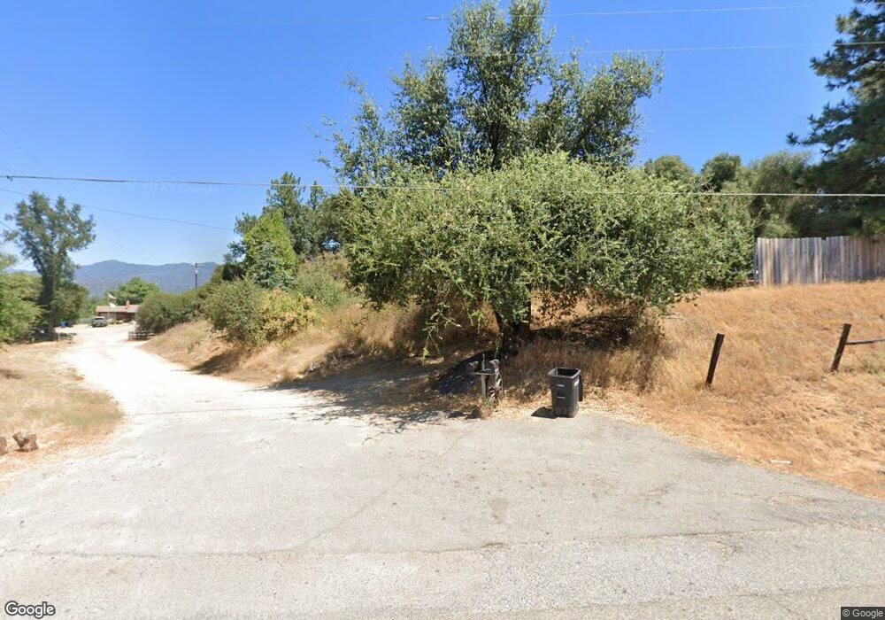
40891 Highway 49 Oakhurst, CA 93644
Estimated Value: $433,000 - $533,696
3
Beds
2
Baths
2,300
Sq Ft
$207/Sq Ft
Est. Value
About This Home
This home is located at 40891 Highway 49, Oakhurst, CA 93644 and is currently estimated at $476,174, approximately $207 per square foot. 40891 Highway 49 is a home located in Madera County with nearby schools including Wasuma Elementary School, Mountain Home School Charter, and Lex Christi Regit Academy.
Ownership History
Date
Name
Owned For
Owner Type
Purchase Details
Closed on
Dec 4, 2004
Sold by
Ritter Arthur Calvin and Ritter Donna K
Bought by
Hendricks Brett and Hendricks Sherre
Current Estimated Value
Home Financials for this Owner
Home Financials are based on the most recent Mortgage that was taken out on this home.
Original Mortgage
$236,000
Interest Rate
5.69%
Mortgage Type
Unknown
Create a Home Valuation Report for This Property
The Home Valuation Report is an in-depth analysis detailing your home's value as well as a comparison with similar homes in the area
Home Values in the Area
Average Home Value in this Area
Purchase History
| Date | Buyer | Sale Price | Title Company |
|---|---|---|---|
| Hendricks Brett | $295,000 | Chicago Title |
Source: Public Records
Mortgage History
| Date | Status | Borrower | Loan Amount |
|---|---|---|---|
| Previous Owner | Hendricks Brett | $236,000 | |
| Closed | Hendricks Brett | $59,000 |
Source: Public Records
Tax History Compared to Growth
Tax History
| Year | Tax Paid | Tax Assessment Tax Assessment Total Assessment is a certain percentage of the fair market value that is determined by local assessors to be the total taxable value of land and additions on the property. | Land | Improvement |
|---|---|---|---|---|
| 2025 | $4,229 | $411,187 | $195,139 | $216,048 |
| 2023 | $4,229 | $395,221 | $187,562 | $207,659 |
| 2022 | $4,106 | $387,473 | $183,885 | $203,588 |
| 2021 | $3,535 | $331,500 | $60,000 | $271,500 |
| 2020 | $3,090 | $288,176 | $136,760 | $151,416 |
| 2019 | $2,946 | $274,454 | $130,248 | $144,206 |
| 2018 | $2,668 | $249,503 | $118,407 | $131,096 |
| 2017 | $2,545 | $237,622 | $112,769 | $124,853 |
| 2016 | $2,464 | $232,963 | $110,558 | $122,405 |
| 2015 | $2,350 | $221,869 | $105,293 | $116,576 |
| 2014 | $2,165 | $203,549 | $96,599 | $106,950 |
Source: Public Records
Map
Nearby Homes
- 40879 Goldside Dr
- 0 Goldside Dr
- 1 Acre Griffin Dr
- 40570 Griffin Dr
- 41243 Pamela Place
- 41092 Highway 49
- 46281 Eastwood Dr S
- 45412 N Oakview Dr
- 41409 Miami Way
- 45344 S Oakview Dr
- 46688 Eastwood Dr N
- 45555 Lauri Ln
- 41028 Shandee Ln
- 41820 Dillon Cir
- 40957 Shandee Ln
- 41345 Singing Hills Cir
- 42179 High Point Ct
- 44611 Indian Rock Rd
- 41902 Woodward Way
- 42177 Lone Olive Ln
- 40881 Highway 49
- 40897 Highway 49
- 46040 Murray Hill Dr
- 45938 Duke Cir
- 45931 Duke Cir
- 45926 Duke Cir
- 40888 Highway 49
- 45923 Duke Cir
- 0 Vista Del Rio Dr Unit YG11000041
- 40811 Goldside Dr
- 40789 Goldside Dr Unit 1
- 45979 Boulder Place
- 45904 Duke Cir
- 45917 Duke Cir
- 45986 Boulder Place
- 40779 Goldside Dr
- 45967 Boulder Place
- 40749 Goldside Dr
- 40849 Goldside Dr
- 45955 Boulder Place
