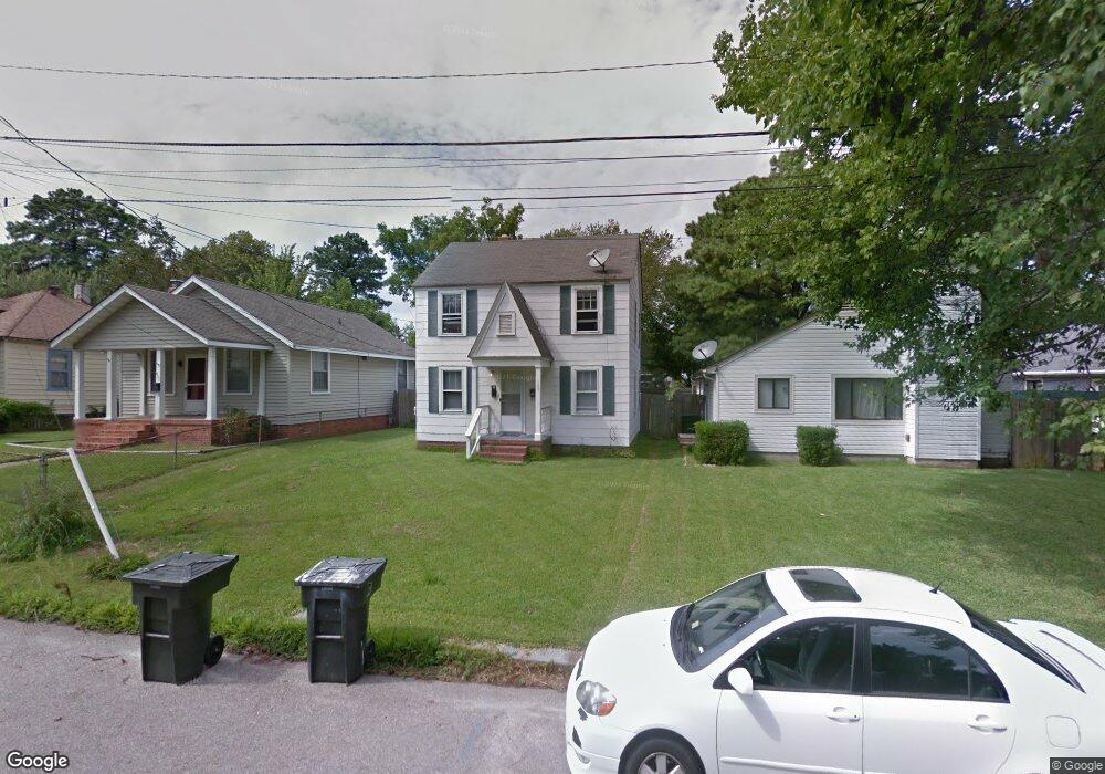
409 Old Point Ave Hampton, VA 23669
Phoebus NeighborhoodEstimated Value: $168,000 - $232,000
1
Bed
2
Baths
1,064
Sq Ft
$182/Sq Ft
Est. Value
About This Home
This home is located at 409 Old Point Ave, Hampton, VA 23669 and is currently estimated at $193,643, approximately $181 per square foot. 409 Old Point Ave is a home located in Hampton City with nearby schools including Capt. John Smith Elementary School, C. Alton Lindsay Middle School, and Phoebus High School.
Ownership History
Date
Name
Owned For
Owner Type
Purchase Details
Closed on
Apr 2, 2024
Sold by
Schrum Wayne J and Schrum Wayne Jake
Bought by
Schrum Family Revocable Trust and Schrum
Current Estimated Value
Purchase Details
Closed on
Sep 5, 2001
Sold by
Bailey Warren S
Bought by
Schrum Wayne Jake
Home Financials for this Owner
Home Financials are based on the most recent Mortgage that was taken out on this home.
Original Mortgage
$41,250
Interest Rate
7.05%
Create a Home Valuation Report for This Property
The Home Valuation Report is an in-depth analysis detailing your home's value as well as a comparison with similar homes in the area
Home Values in the Area
Average Home Value in this Area
Purchase History
| Date | Buyer | Sale Price | Title Company |
|---|---|---|---|
| Schrum Family Revocable Trust | -- | None Listed On Document | |
| Schrum Wayne Jake | $45,000 | -- |
Source: Public Records
Mortgage History
| Date | Status | Borrower | Loan Amount |
|---|---|---|---|
| Previous Owner | Schrum Wayne Jake | $41,250 |
Source: Public Records
Tax History
| Year | Tax Paid | Tax Assessment Tax Assessment Total Assessment is a certain percentage of the fair market value that is determined by local assessors to be the total taxable value of land and additions on the property. | Land | Improvement |
|---|---|---|---|---|
| 2025 | $1,825 | $146,900 | $50,000 | $96,900 |
| 2024 | $1,680 | $146,100 | $50,000 | $96,100 |
| 2023 | $1,653 | $142,500 | $50,000 | $92,500 |
| 2022 | $1,415 | $119,900 | $45,000 | $74,900 |
| 2021 | $1,363 | $99,400 | $38,000 | $61,400 |
| 2020 | $1,152 | $92,900 | $38,000 | $54,900 |
| 2019 | $1,132 | $91,300 | $38,000 | $53,300 |
| 2018 | $1,287 | $97,900 | $38,000 | $59,900 |
| 2017 | $1,308 | $0 | $0 | $0 |
| 2016 | $1,293 | $96,700 | $0 | $0 |
| 2015 | $1,335 | $0 | $0 | $0 |
| 2014 | $1,367 | $103,500 | $38,000 | $65,500 |
Source: Public Records
Map
Nearby Homes
- 16 S Cypress St
- 1002 E Pembroke Ave
- LOT 17 Prentiss Ln
- 105 Prentiss Ln
- 573 Old Point Ave
- 122 Chichester Ave
- 51 Calhoun St
- 55 Calhoun St
- 15 Gayle St
- 124 Southerland Dr
- 542 River St
- 1307 Colebrook Dr
- 168 Woodland Rd
- 208 Woodland Rd
- 720 River St
- 1314 Saxton Dr
- 439 Cooper St
- 433 Cooper St
- 212 Dockside Dr Unit C
- 816 Old Point Ave
- 407 Old Point Ave
- 411 Old Point Ave
- 405 Old Point Ave
- 413 Old Point Ave
- 20 S Cypress St
- 403 Old Point Ave
- 18 S Cypress St
- 19 S Juniper St
- 406 Old Point Ave
- 401 Old Point Ave
- 25 S Cypress St
- 404 Old Point Ave
- 14 S Cypress St
- 19 S Cypress St
- 13 S Juniper St
- 400 Old Point Ave
- 17 S Cypress St
- 12 S Cypress St
- 15 S Cypress St Unit A
- 15 S Cypress St
Your Personal Tour Guide
Ask me questions while you tour the home.