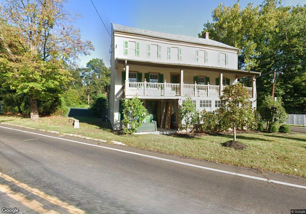
4092 Route 202 Doylestown, PA 18902
Estimated Value: $197,000
7
Beds
1
Bath
4,450
Sq Ft
$44/Sq Ft
Est. Value
About This Home
This home is located at 4092 Route 202, Doylestown, PA 18902 and is currently estimated at $197,000, approximately $44 per square foot. 4092 Route 202 is a home located in Bucks County with nearby schools including Buckingham Elementary School, Holicong Middle School, and Central Bucks High School - East.
Ownership History
Date
Name
Owned For
Owner Type
Purchase Details
Closed on
Apr 13, 2022
Sold by
Adam Vonhohen
Bought by
Convex Revocable Land Trust
Current Estimated Value
Purchase Details
Closed on
Dec 14, 2018
Sold by
Bagley Asset Partners Lp
Bought by
Vonhohen Adam Von
Purchase Details
Closed on
Mar 17, 2005
Sold by
Wells Fargo Bank Minnesota
Bought by
Bagley Asset Partners Lp
Home Financials for this Owner
Home Financials are based on the most recent Mortgage that was taken out on this home.
Original Mortgage
$240,000
Interest Rate
6.01%
Mortgage Type
Commercial
Purchase Details
Closed on
Dec 26, 2003
Sold by
Robertson Donald H
Bought by
Wells Fargo Bank Minnesota and Norwest Bank Minnesota Na
Create a Home Valuation Report for This Property
The Home Valuation Report is an in-depth analysis detailing your home's value as well as a comparison with similar homes in the area
Home Values in the Area
Average Home Value in this Area
Purchase History
| Date | Buyer | Sale Price | Title Company |
|---|---|---|---|
| Convex Revocable Land Trust | -- | Stuckert And Yates | |
| Vonhohen Adam Von | $107,000 | None Available | |
| Bagley Asset Partners Lp | $234,000 | -- | |
| Wells Fargo Bank Minnesota | $889 | -- |
Source: Public Records
Mortgage History
| Date | Status | Borrower | Loan Amount |
|---|---|---|---|
| Previous Owner | Bagley Asset Partners Lp | $240,000 |
Source: Public Records
Tax History Compared to Growth
Tax History
| Year | Tax Paid | Tax Assessment Tax Assessment Total Assessment is a certain percentage of the fair market value that is determined by local assessors to be the total taxable value of land and additions on the property. | Land | Improvement |
|---|---|---|---|---|
| 2025 | $4,298 | $26,400 | $3,480 | $22,920 |
| 2024 | $4,298 | $26,400 | $3,480 | $22,920 |
| 2023 | $4,152 | $26,400 | $3,480 | $22,920 |
| 2022 | $4,103 | $26,400 | $3,480 | $22,920 |
| 2021 | $4,054 | $26,400 | $3,480 | $22,920 |
| 2020 | $4,054 | $26,400 | $3,480 | $22,920 |
| 2019 | $4,027 | $26,400 | $3,480 | $22,920 |
| 2018 | $4,027 | $26,400 | $3,480 | $22,920 |
| 2017 | $3,994 | $26,400 | $3,480 | $22,920 |
| 2016 | $4,034 | $26,400 | $3,480 | $22,920 |
| 2015 | -- | $26,400 | $3,480 | $22,920 |
| 2014 | -- | $26,400 | $3,480 | $22,920 |
Source: Public Records
Map
Nearby Homes
- 4350 Church Rd
- 3146 Mill Rd
- 4245 Mechanicsville Rd
- 3196 Mill Rd
- 2880 Snake Hill Rd
- 2728 Red Gate Dr
- 3889 Robin Rd
- 3775 Buckingham Dr
- 3111 Burnt House Hill Rd
- 2479 Wheatfield Ln
- lot #3 next to 3739 York Rd
- 2565 Bogarts Tavern Rd
- 3772 Powder Horn Dr
- 249 East Rd
- 34 Houk Rd
- 0 Myers Dr
- 3657 Powder Horn Dr
- 143 Myers Dr
- 104 Kreutz Ave
- 000 Cherry Ln
- 2954 Mill Rd
- 4106 U S 202 Unit D
- 4097 Mill Rd
- 4143 E State St
- 4106 Route 202 Unit 1
- 4087 Route 202 Unit B
- 4087 Route 202 Unit 1
- 4087 Route 202 Unit A
- 4087 Route 202 Unit 2
- 4087 Route 202 Unit C
- 4087 Route 202
- 2943 Mill Rd
- 2960 Mill Rd
- 4120 Route 202
- 4120 Route 202 Unit 202
- 4076 Route 202
- 2918 Mill Rd
- 4081 Route 202
- 4128 Route 202
- 4075 Route 202