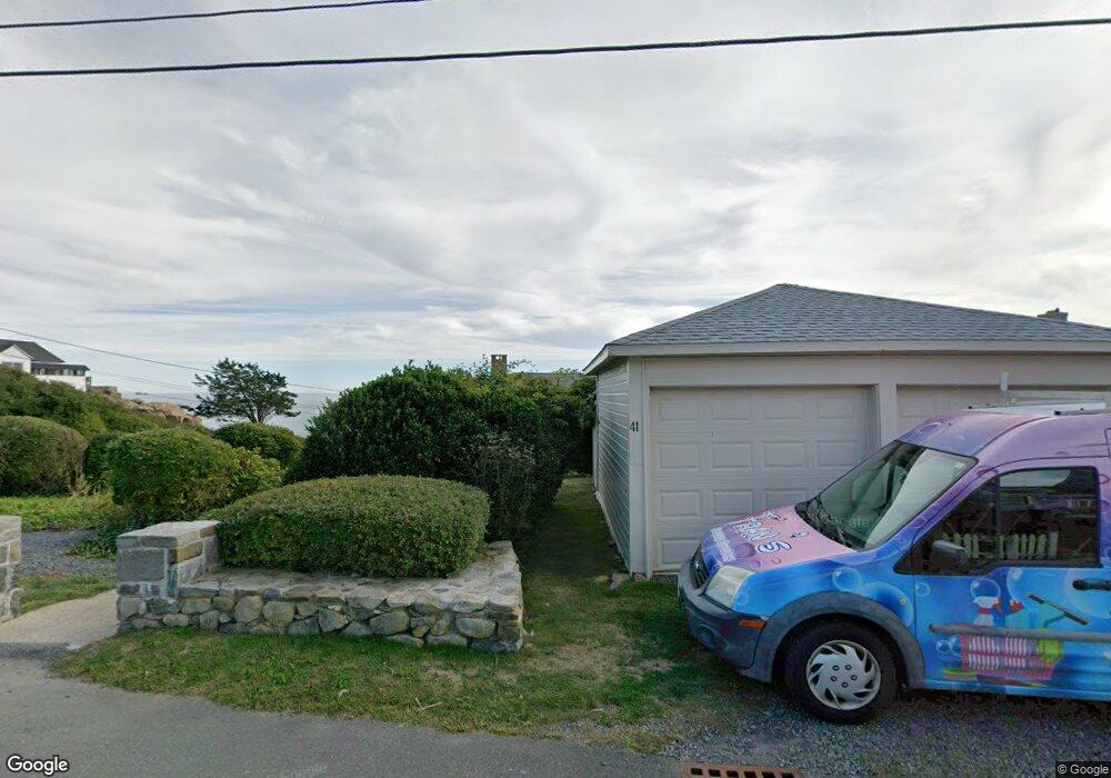
41 Salt Island Rd Gloucester, MA 01930
East Gloucester NeighborhoodEstimated Value: $929,000 - $2,825,000
3
Beds
4
Baths
1,634
Sq Ft
$1,266/Sq Ft
Est. Value
About This Home
This home is located at 41 Salt Island Rd, Gloucester, MA 01930 and is currently estimated at $2,068,479, approximately $1,265 per square foot. 41 Salt Island Rd is a home located in Essex County with nearby schools including East Gloucester Elementary School, Ralph B O'maley Middle School, and Gloucester High School.
Ownership History
Date
Name
Owned For
Owner Type
Purchase Details
Closed on
Jul 22, 2023
Sold by
Smith F W F and Smith Sue W
Bought by
F Warren & S W Smith Ret and Smith
Current Estimated Value
Purchase Details
Closed on
Jun 28, 1994
Sold by
Smith Reginald H
Bought by
Smith F Warren F and Smith Sue W
Home Financials for this Owner
Home Financials are based on the most recent Mortgage that was taken out on this home.
Original Mortgage
$285,000
Interest Rate
8.74%
Mortgage Type
Purchase Money Mortgage
Create a Home Valuation Report for This Property
The Home Valuation Report is an in-depth analysis detailing your home's value as well as a comparison with similar homes in the area
Home Values in the Area
Average Home Value in this Area
Purchase History
| Date | Buyer | Sale Price | Title Company |
|---|---|---|---|
| F Warren & S W Smith Ret | -- | None Available | |
| Smith F Warren F | $300,000 | -- |
Source: Public Records
Mortgage History
| Date | Status | Borrower | Loan Amount |
|---|---|---|---|
| Previous Owner | Smith F Warren F | $285,000 |
Source: Public Records
Tax History Compared to Growth
Tax History
| Year | Tax Paid | Tax Assessment Tax Assessment Total Assessment is a certain percentage of the fair market value that is determined by local assessors to be the total taxable value of land and additions on the property. | Land | Improvement |
|---|---|---|---|---|
| 2025 | $23,139 | $2,380,600 | $1,905,100 | $475,500 |
| 2024 | $22,210 | $2,282,600 | $1,814,400 | $468,200 |
| 2023 | $21,071 | $1,989,700 | $1,548,600 | $441,100 |
| 2022 | $20,101 | $1,713,600 | $1,347,000 | $366,600 |
| 2021 | $19,661 | $1,580,500 | $1,224,500 | $356,000 |
| 2020 | $19,023 | $1,542,800 | $1,224,500 | $318,300 |
| 2019 | $18,522 | $1,459,600 | $1,167,500 | $292,100 |
| 2018 | $18,233 | $1,410,100 | $1,139,000 | $271,100 |
| 2017 | $17,733 | $1,344,400 | $1,084,600 | $259,800 |
| 2016 | $17,052 | $1,252,900 | $1,036,900 | $216,000 |
| 2015 | $16,695 | $1,223,100 | $1,013,300 | $209,800 |
Source: Public Records
Map
Nearby Homes
- 26 Marina Dr
- 33 Highview Rd
- 29 Harrison Ave
- 10 Amero Ct
- 20 Haskell St
- 9 Rocky Pasture Rd
- 20 Calder St
- 86 E Main St
- 36 Links Rd
- 100 E Main St
- 97 E Main St
- 30 Chapel St Unit B
- 27 Hodgkins Rd
- 22 Taylor St Unit 1
- 197 E Main St
- 197 E Main St Unit 1
- 197 E Main St Unit 2
- 197 E Main St Unit 1 & 2
- 160 Prospect St Unit 3
- 4 Mount Vernon St
- 39 Salt Island Rd
- 45 Salt Island Rd
- 37 Salt Island Rd
- 46 Salt Island Rd
- 42 Salt Island Rd
- 44 Salt Island Rd
- 35 Salt Island Rd
- 47 Salt Island Rd
- 48 Salt Island Rd
- 12 Palfrey Rd
- 4 Warwick Rd
- 3 Warwick Rd
- 49 Salt Island Rd
- 38 Salt Island Rd
- 14 Palfrey Rd
- 33 Salt Island Rd
- 7 Palfrey Rd
- 7 Palfrey Rd Unit 2a
- 5 Warwick Rd
- 10 Palfrey Rd