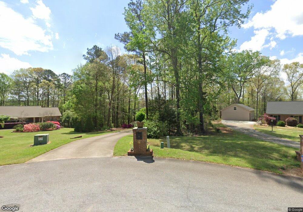
41 Tracechain Stockbridge, GA 30281
Estimated Value: $453,000 - $507,000
3
Beds
3
Baths
3,391
Sq Ft
$140/Sq Ft
Est. Value
About This Home
This home is located at 41 Tracechain, Stockbridge, GA 30281 and is currently estimated at $473,974, approximately $139 per square foot. 41 Tracechain is a home located in Henry County with nearby schools including Pleasant Grove Elementary School, Woodland Middle School, and Woodland High School.
Ownership History
Date
Name
Owned For
Owner Type
Purchase Details
Closed on
Jan 30, 2006
Sold by
Durden Lisa G
Bought by
Durden Terry D and Durden Beth K
Current Estimated Value
Home Financials for this Owner
Home Financials are based on the most recent Mortgage that was taken out on this home.
Original Mortgage
$130,000
Outstanding Balance
$45,341
Interest Rate
6.21%
Mortgage Type
Trade
Estimated Equity
$428,633
Purchase Details
Closed on
Jul 9, 1996
Sold by
Gower Richard Deborah
Bought by
Maddox Clifford Dale and Durden Lisa Gail
Create a Home Valuation Report for This Property
The Home Valuation Report is an in-depth analysis detailing your home's value as well as a comparison with similar homes in the area
Home Values in the Area
Average Home Value in this Area
Purchase History
| Date | Buyer | Sale Price | Title Company |
|---|---|---|---|
| Durden Terry D | $320,000 | -- | |
| Maddox Clifford Dale | $147,200 | -- |
Source: Public Records
Mortgage History
| Date | Status | Borrower | Loan Amount |
|---|---|---|---|
| Open | Durden Terry D | $130,000 | |
| Closed | Maddox Clifford Dale | $0 |
Source: Public Records
Tax History Compared to Growth
Tax History
| Year | Tax Paid | Tax Assessment Tax Assessment Total Assessment is a certain percentage of the fair market value that is determined by local assessors to be the total taxable value of land and additions on the property. | Land | Improvement |
|---|---|---|---|---|
| 2025 | $5,901 | $198,320 | $23,000 | $175,320 |
| 2024 | $5,901 | $176,960 | $23,000 | $153,960 |
| 2023 | $5,114 | $169,880 | $21,600 | $148,280 |
| 2022 | $5,177 | $151,200 | $19,200 | $132,000 |
| 2021 | $4,626 | $127,880 | $19,200 | $108,680 |
| 2020 | $4,523 | $123,920 | $14,400 | $109,520 |
| 2019 | $4,406 | $120,880 | $14,400 | $106,480 |
| 2018 | $4,190 | $115,240 | $14,400 | $100,840 |
| 2016 | $3,959 | $109,240 | $14,400 | $94,840 |
| 2015 | $4,069 | $109,160 | $14,400 | $94,760 |
| 2014 | $3,956 | $105,200 | $14,400 | $90,800 |
Source: Public Records
Map
Nearby Homes
- 316 Moab Ct
- 0 Highway 155 N Unit 10380875
- 187 Buffalo Trace
- 621 Sidney Ct
- 617 Sidney Ct
- Henry II Plan at Grandview at Millers Mill
- Isabella V Plan at Grandview at Millers Mill
- Meridian II Plan at Grandview at Millers Mill
- Rosemary II Plan at Grandview at Millers Mill
- Clarity Plan at Grandview at Millers Mill
- Stonefield Plan at Grandview at Millers Mill
- Rainier Plan at Grandview at Millers Mill
- 613 Sidney Ct
- 609 Sidney Ct
- 1104 Driftwood Ct
- 605 Sidney Ct
- 425 Sheridan Dr
- 2450 Highway 155 N
- 80 Knight Dr
- 1205 Mill Creek Ln
- 38 Tracechain
- 103 Singletree
- 105 Singletree
- 36 Tracechain
- 32 Tracechain
- 3355 Highway 155 N
- 3460 Highway 155 N
- 10 AC Highway 155 N
- 25 Tracechain
- 100 Singletree
- 0 Singletree Unit 31 8343475
- 0 Singletree Unit 31 8248896
- 0 Singletree Unit 31 8805963
- 0 Singletree Unit 31 8678621
- 20 Tracechain
- 106 Singletree
- 2725 Highway 155 N
- 150 Plantation Dr
- 160 Plantation Dr Unit 44
- 160 Plantation Dr