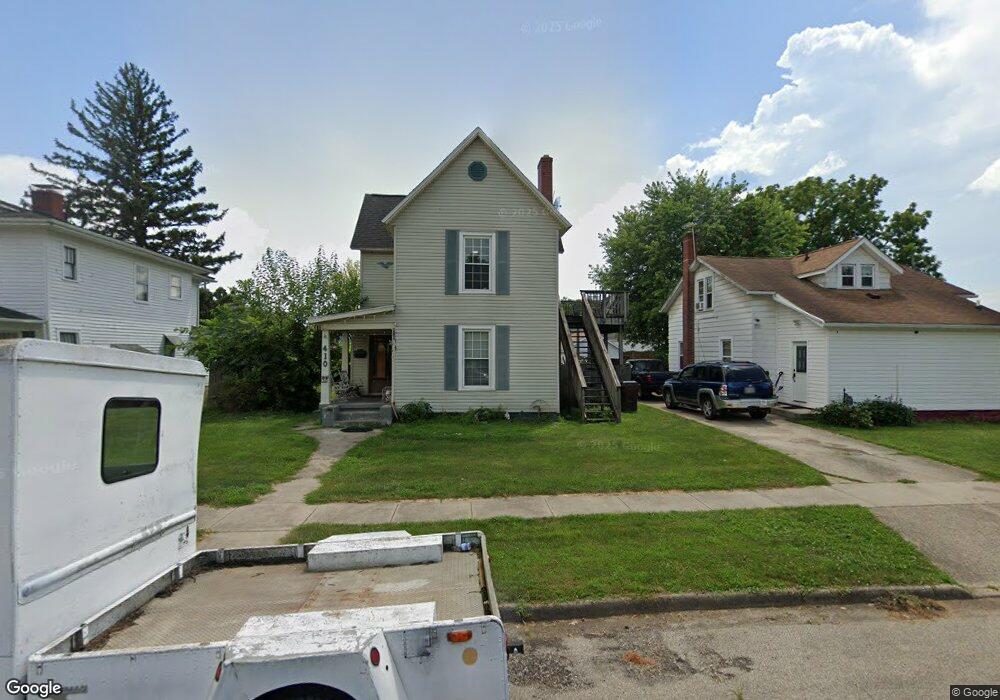
410 Forest Ave Franklin, OH 45005
Estimated Value: $208,000 - $232,000
4
Beds
3
Baths
2,275
Sq Ft
$97/Sq Ft
Est. Value
About This Home
This home is located at 410 Forest Ave, Franklin, OH 45005 and is currently estimated at $220,132, approximately $96 per square foot. 410 Forest Ave is a home located in Warren County with nearby schools including Franklin High School.
Ownership History
Date
Name
Owned For
Owner Type
Purchase Details
Closed on
Dec 30, 2016
Sold by
Blake Glenna P
Bought by
Blake Scott A and Blake Cdoris K
Current Estimated Value
Purchase Details
Closed on
Aug 3, 2016
Sold by
Blake Scott A
Bought by
Blake Scott A and Blake Doris K
Purchase Details
Closed on
Jun 27, 2013
Sold by
Blake Glenna P and Blake Glenn E
Bought by
Blake Scott A and Blake Doris K
Purchase Details
Closed on
Aug 28, 2003
Sold by
Blake Glenna and Blake Glenn E
Bought by
Blake Glenna P and Blake Scott A
Purchase Details
Closed on
Jul 28, 1983
Sold by
Darragh Darragh and Darragh Richard B
Bought by
Blake Blake and Blake Glenna
Create a Home Valuation Report for This Property
The Home Valuation Report is an in-depth analysis detailing your home's value as well as a comparison with similar homes in the area
Home Values in the Area
Average Home Value in this Area
Purchase History
| Date | Buyer | Sale Price | Title Company |
|---|---|---|---|
| Blake Scott A | $16,667 | None Available | |
| Blake Scott A | -- | Attorney | |
| Blake Scott A | -- | None Available | |
| Blake Glenna P | -- | -- | |
| Blake Blake | $14,000 | -- |
Source: Public Records
Tax History
| Year | Tax Paid | Tax Assessment Tax Assessment Total Assessment is a certain percentage of the fair market value that is determined by local assessors to be the total taxable value of land and additions on the property. | Land | Improvement |
|---|---|---|---|---|
| 2025 | $3,106 | $56,980 | $10,510 | $46,470 |
| 2024 | $3,106 | $56,980 | $10,510 | $46,470 |
| 2023 | $2,555 | $44,600 | $6,958 | $37,642 |
| 2022 | $2,510 | $44,601 | $6,958 | $37,643 |
| 2021 | $2,391 | $44,601 | $6,958 | $37,643 |
| 2020 | $2,188 | $35,679 | $5,565 | $30,114 |
| 2019 | $2,010 | $35,679 | $5,565 | $30,114 |
| 2018 | $1,774 | $35,679 | $5,565 | $30,114 |
| 2017 | $2,132 | $34,811 | $5,523 | $29,288 |
| 2016 | $2,169 | $34,811 | $5,523 | $29,288 |
| 2015 | $2,169 | $34,811 | $5,523 | $29,288 |
| 2014 | $2,219 | $34,810 | $5,520 | $29,290 |
| 2013 | $1,748 | $38,980 | $6,180 | $32,800 |
Source: Public Records
Map
Nearby Homes
Your Personal Tour Guide
Ask me questions while you tour the home.