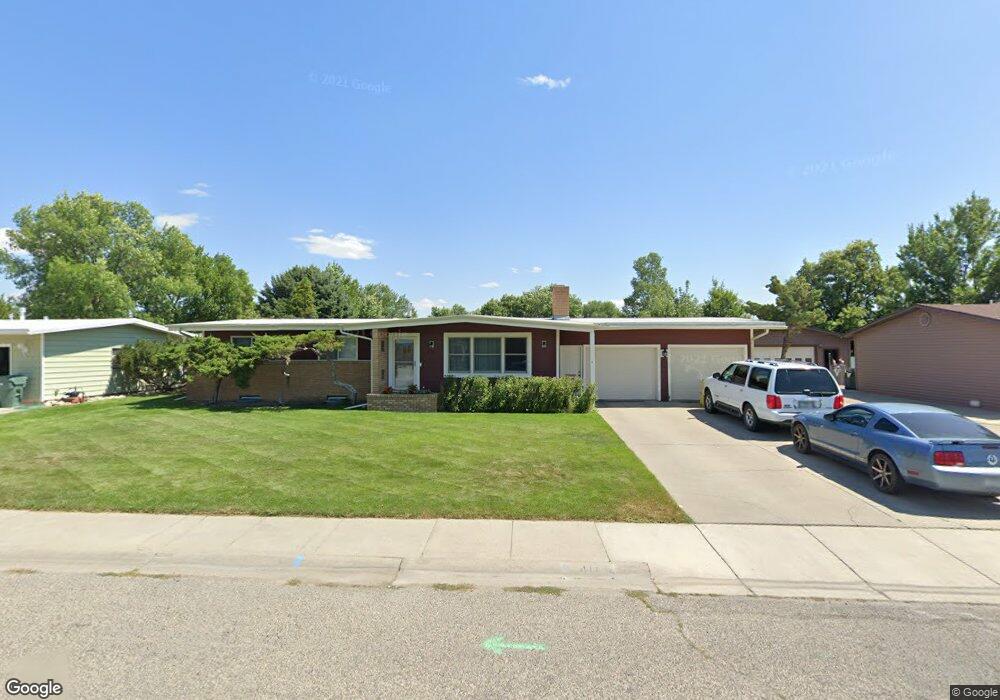
411 31st St W Billings, MT 59102
West End NeighborhoodEstimated Value: $367,000 - $413,000
4
Beds
3
Baths
2,664
Sq Ft
$146/Sq Ft
Est. Value
About This Home
This home is located at 411 31st St W, Billings, MT 59102 and is currently estimated at $387,949, approximately $145 per square foot. 411 31st St W is a home located in Yellowstone County with nearby schools including Meadowlark School, Will James Junior High School, and Billings West High School.
Ownership History
Date
Name
Owned For
Owner Type
Purchase Details
Closed on
Apr 23, 2013
Sold by
Harshaw Richard L and Harshaw Rebecca L
Bought by
Evans Christopher D and Evans Sarah J
Current Estimated Value
Home Financials for this Owner
Home Financials are based on the most recent Mortgage that was taken out on this home.
Original Mortgage
$204,155
Outstanding Balance
$144,951
Interest Rate
3.6%
Mortgage Type
New Conventional
Estimated Equity
$242,998
Purchase Details
Closed on
Mar 11, 2006
Sold by
Simpson Joseph S
Bought by
Harshaw Rebecca L and Harshaw Richard L
Home Financials for this Owner
Home Financials are based on the most recent Mortgage that was taken out on this home.
Original Mortgage
$130,325
Interest Rate
6.3%
Mortgage Type
New Conventional
Create a Home Valuation Report for This Property
The Home Valuation Report is an in-depth analysis detailing your home's value as well as a comparison with similar homes in the area
Home Values in the Area
Average Home Value in this Area
Purchase History
| Date | Buyer | Sale Price | Title Company |
|---|---|---|---|
| Evans Christopher D | -- | None Available | |
| Harshaw Rebecca L | -- | None Available |
Source: Public Records
Mortgage History
| Date | Status | Borrower | Loan Amount |
|---|---|---|---|
| Open | Evans Christopher D | $204,155 | |
| Previous Owner | Harshaw Rebecca L | $25,000 | |
| Previous Owner | Harshaw Rebecca L | $130,325 |
Source: Public Records
Tax History Compared to Growth
Tax History
| Year | Tax Paid | Tax Assessment Tax Assessment Total Assessment is a certain percentage of the fair market value that is determined by local assessors to be the total taxable value of land and additions on the property. | Land | Improvement |
|---|---|---|---|---|
| 2025 | $3,344 | $356,500 | $53,399 | $303,101 |
| 2024 | $3,344 | $329,000 | $49,157 | $279,843 |
| 2023 | $3,345 | $329,000 | $49,157 | $279,843 |
| 2022 | $2,166 | $229,400 | $0 | $0 |
| 2021 | $2,571 | $229,400 | $0 | $0 |
| 2020 | $2,590 | $221,500 | $0 | $0 |
| 2019 | $2,479 | $221,500 | $0 | $0 |
| 2018 | $2,419 | $211,200 | $0 | $0 |
| 2017 | $2,356 | $211,200 | $0 | $0 |
| 2016 | $2,161 | $193,500 | $0 | $0 |
| 2015 | $2,116 | $193,500 | $0 | $0 |
| 2014 | $1,983 | $96,248 | $0 | $0 |
Source: Public Records
Map
Nearby Homes
- 2937 Miles Ave
- 108 30th St W
- 3113 Saint Johns Ave
- 3203 Lynn Ave
- 909 Maywood Dr
- 915 Maywood Dr
- 2905 Lynwood Cir
- 2900 Manhattan Dr
- 3231 Central Ave
- 2702 Howard Ave
- 2645 Custer Ave
- 2636 Custer Ave
- 3087 Hunters Ridge Loop
- 3079 Hunters Ridge Loop
- 1125 30th St W
- 2608 Terry Ave
- 2845 Cumberland Hill Rd
- 2903 Belvedere Dr
- 2539 Custer Ave
- 207 Boston Hill Rd
- 415 31st St W
- 401 31st St W
- 406 Montclair Dr
- 404 Montclair Dr
- 410 Montclair Dr
- 501 31st St W
- 391 31st St W
- 408 31st St W
- 402 31st St W
- 412 31st St W
- 390 Montclair Dr
- 414 Montclair Dr
- 3101 N Daffodil Dr
- 507 31st St W
- 502 31st St W
- 383 31st St W
- 418 Montclair Dr
- 380 Montclair Dr
- 411 Montclair Dr
- 508 31st St W