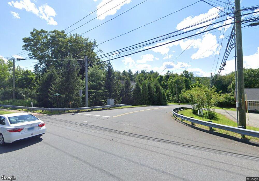
411 Olmstead Hill Rd Wilton, CT 06897
Estimated Value: $1,158,245 - $1,443,000
5
Beds
5
Baths
3,666
Sq Ft
$362/Sq Ft
Est. Value
About This Home
This home is located at 411 Olmstead Hill Rd, Wilton, CT 06897 and is currently estimated at $1,328,811, approximately $362 per square foot. 411 Olmstead Hill Rd is a home located in Fairfield County with nearby schools including Miller-Driscoll School, Cider Mill School, and Middlebrook School.
Ownership History
Date
Name
Owned For
Owner Type
Purchase Details
Closed on
Jan 24, 2022
Sold by
Nesheiwat Jeffrey and Russell Mary V
Bought by
Nesheiwat Jeffrey and Nesheiwat Jessica M
Current Estimated Value
Home Financials for this Owner
Home Financials are based on the most recent Mortgage that was taken out on this home.
Original Mortgage
$376,000
Outstanding Balance
$348,720
Interest Rate
3.45%
Mortgage Type
Stand Alone Refi Refinance Of Original Loan
Estimated Equity
$980,091
Purchase Details
Closed on
Nov 2, 2009
Sold by
Ely Brian D and Ely Kimberly A
Bought by
Nesheiwat Jeffrey and Russell Mary
Home Financials for this Owner
Home Financials are based on the most recent Mortgage that was taken out on this home.
Original Mortgage
$536,000
Interest Rate
5.06%
Create a Home Valuation Report for This Property
The Home Valuation Report is an in-depth analysis detailing your home's value as well as a comparison with similar homes in the area
Home Values in the Area
Average Home Value in this Area
Purchase History
| Date | Buyer | Sale Price | Title Company |
|---|---|---|---|
| Nesheiwat Jeffrey | -- | None Available | |
| Nesheiwat Jeffrey | -- | None Available | |
| Nesheiwat Jeffrey | $670,000 | -- | |
| Nesheiwat Jeffrey | $670,000 | -- |
Source: Public Records
Mortgage History
| Date | Status | Borrower | Loan Amount |
|---|---|---|---|
| Open | Nesheiwat Jeffrey | $376,000 | |
| Closed | Nesheiwat Jeffrey | $376,000 | |
| Previous Owner | Nesheiwat Jeffrey | $525,000 | |
| Previous Owner | Nesheiwat Jeffrey | $536,000 |
Source: Public Records
Tax History Compared to Growth
Tax History
| Year | Tax Paid | Tax Assessment Tax Assessment Total Assessment is a certain percentage of the fair market value that is determined by local assessors to be the total taxable value of land and additions on the property. | Land | Improvement |
|---|---|---|---|---|
| 2025 | $14,336 | $587,300 | $122,920 | $464,380 |
| 2024 | $16,500 | $689,220 | $216,650 | $472,570 |
| 2023 | $14,303 | $488,810 | $207,340 | $281,470 |
| 2022 | $13,799 | $488,810 | $207,340 | $281,470 |
| 2021 | $13,623 | $488,810 | $207,340 | $281,470 |
| 2020 | $13,423 | $488,810 | $207,340 | $281,470 |
| 2019 | $13,951 | $488,810 | $207,340 | $281,470 |
| 2018 | $14,490 | $514,010 | $207,760 | $306,250 |
| 2017 | $14,274 | $514,010 | $207,760 | $306,250 |
| 2016 | $14,053 | $514,010 | $207,760 | $306,250 |
| 2015 | $13,791 | $514,010 | $207,760 | $306,250 |
| 2014 | $13,626 | $514,010 | $207,760 | $306,250 |
Source: Public Records
Map
Nearby Homes
- 33 Cannon Rd
- 112 Middlebrook Farm Rd
- 30 Black Alder Ln
- 38 Honey Hill Rd
- 33 Middlebrook Farm Rd
- 185 Sturges Ridge Rd
- 4 Trails End Rd
- 330 Ridgefield Rd
- 55 Liberty St
- 30 Coley Rd
- 35 Branch Brook Rd
- 335 Georgetown Rd
- 41 Calvin Rd
- 23 Wilson Rd
- 326 Georgetown Rd
- 15 Mountain View Dr
- 25 Samuelson Rd
- 15 River Rd Unit STE 210
- 76 Sturges Ridge Rd
- 00 Old Mill Rd
- 408 Olmstead Hill Rd
- 4 Cannon Rd
- 444 Danbury Rd Unit 3
- 444 Danbury Rd
- 444 Danbury Rd Unit 4
- 450 Danbury Rd
- 1 Cannon Rd
- 2 Cannon Rd
- 398 Olmstead Hill Rd
- 454 Danbury Rd
- 5 Cannon Rd
- 18 Cannon Rd
- 436 Danbury Rd
- 435 Danbury Rd Unit 5D
- 435 Danbury Rd Unit 5C
- 435 Danbury Rd Unit 5B
- 435 Danbury Rd Unit 5A
- 435 Danbury Rd Unit 4D
- 435 Danbury Rd Unit 4C
- 435 Danbury Rd Unit 4B
