4119 Grange Ave Springfield, OH 45504
Cedar Hills/Broadview NeighborhoodEstimated Value: $230,372 - $277,000
3
Beds
2
Baths
2,304
Sq Ft
$111/Sq Ft
Est. Value
About This Home
This home is located at 4119 Grange Ave, Springfield, OH 45504 and is currently estimated at $254,843, approximately $110 per square foot. 4119 Grange Ave is a home located in Clark County with nearby schools including Possum Elementary School, Shawnee Middle School/High School, and Cliff Park High School.
Ownership History
Date
Name
Owned For
Owner Type
Purchase Details
Closed on
Nov 20, 1987
Sold by
Whitacre Marion E and Suder Rebecca
Bought by
Snyder Ronald D and Snyder Joanne
Current Estimated Value
Purchase Details
Closed on
Jun 1, 1979
Create a Home Valuation Report for This Property
The Home Valuation Report is an in-depth analysis detailing your home's value as well as a comparison with similar homes in the area
Home Values in the Area
Average Home Value in this Area
Purchase History
| Date | Buyer | Sale Price | Title Company |
|---|---|---|---|
| Snyder Ronald D | $64,500 | -- | |
| -- | $55,900 | -- |
Source: Public Records
Tax History
| Year | Tax Paid | Tax Assessment Tax Assessment Total Assessment is a certain percentage of the fair market value that is determined by local assessors to be the total taxable value of land and additions on the property. | Land | Improvement |
|---|---|---|---|---|
| 2025 | $2,729 | $67,400 | $10,770 | $56,630 |
| 2024 | $2,658 | $54,410 | $8,630 | $45,780 |
| 2023 | $2,658 | $54,410 | $8,630 | $45,780 |
| 2022 | $2,636 | $54,410 | $8,630 | $45,780 |
| 2021 | $2,297 | $42,450 | $6,690 | $35,760 |
| 2020 | $2,316 | $42,450 | $6,690 | $35,760 |
| 2019 | $2,353 | $42,450 | $6,690 | $35,760 |
| 2018 | $2,039 | $36,300 | $3,030 | $33,270 |
| 2017 | $2,090 | $36,299 | $3,028 | $33,271 |
| 2016 | $1,885 | $36,299 | $3,028 | $33,271 |
| 2015 | $1,885 | $35,074 | $3,028 | $32,046 |
| 2014 | $1,890 | $35,074 | $3,028 | $32,046 |
| 2013 | $1,642 | $35,074 | $3,028 | $32,046 |
Source: Public Records
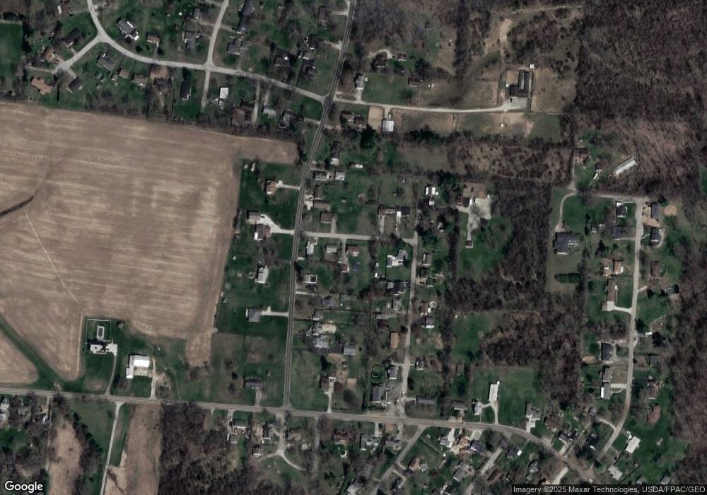
Map
Nearby Homes
- 3891 New Carlisle Pike
- 4461 New Carlisle Pike
- 624 Aberfelda Dr
- 124 Old Mill Rd
- 4638 W National Rd
- 190 Oakridge Dr
- 2805 Cottonwood Dr
- 3319 Wendover St
- 361 Upper Valley Pike
- 128 Ravenwood Dr
- 917 White Oak Dr
- 2743 Ironwood Dr
- 0 Upper Valley Pike
- 925 Upper Valley Pike
- 3183 Lower Valley Pike
- 195 N Tecumseh Rd
- 1290 Red Oaks Cir
- 929 N Tecumseh Rd
- 96 Eastwood Dr
- 3305 Turner Dr E
- 4121 Grange Ave
- 306 Vale Rd
- 252 Vale Rd
- 4125 Grange Ave
- 329 Saint Paul Ave
- 323 Saint Paul Ave
- 246 Vale Rd
- 4120 Grange Ave
- 319 Saint Paul Ave
- 4112 Grange Ave
- 238 Vale Rd
- 315 Saint Paul Ave
- 341 Saint Paul Ave
- 426 Vale Rd
- 230 Vale Rd
- 328 Saint Paul Ave
- 309 Saint Paul Ave
- 318 Saint Paul Ave
- 279 Vale Rd
- 345 Vale Rd
Your Personal Tour Guide
Ask me questions while you tour the home.