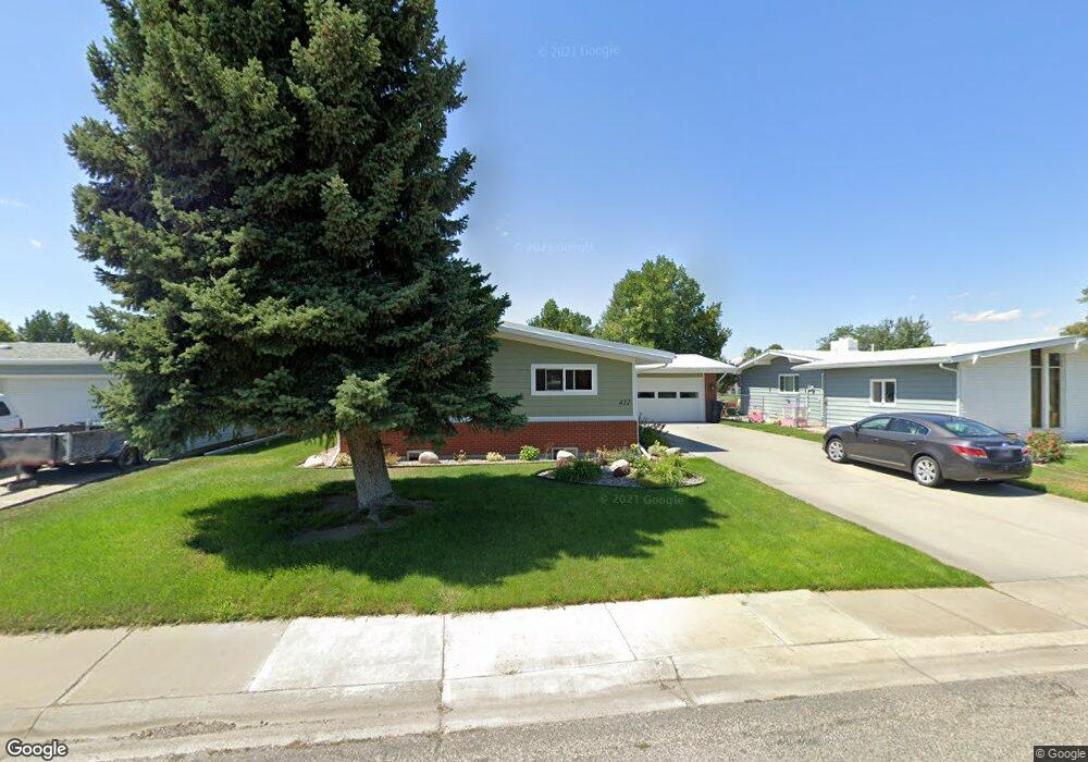
412 31st St W Billings, MT 59102
West End NeighborhoodEstimated Value: $357,000 - $394,000
4
Beds
3
Baths
1,288
Sq Ft
$291/Sq Ft
Est. Value
About This Home
This home is located at 412 31st St W, Billings, MT 59102 and is currently estimated at $374,195, approximately $290 per square foot. 412 31st St W is a home located in Yellowstone County with nearby schools including Meadowlark School, Will James Junior High School, and Billings West High School.
Ownership History
Date
Name
Owned For
Owner Type
Purchase Details
Closed on
Jun 24, 2005
Sold by
Pagnotta Gary R and Pagnotta Patricia J
Bought by
Kusek Joseph A and Kusek Susan M
Current Estimated Value
Home Financials for this Owner
Home Financials are based on the most recent Mortgage that was taken out on this home.
Original Mortgage
$62,000
Outstanding Balance
$19,161
Interest Rate
5.55%
Mortgage Type
Credit Line Revolving
Estimated Equity
$355,034
Create a Home Valuation Report for This Property
The Home Valuation Report is an in-depth analysis detailing your home's value as well as a comparison with similar homes in the area
Home Values in the Area
Average Home Value in this Area
Purchase History
| Date | Buyer | Sale Price | Title Company |
|---|---|---|---|
| Kusek Joseph A | -- | St |
Source: Public Records
Mortgage History
| Date | Status | Borrower | Loan Amount |
|---|---|---|---|
| Open | Kusek Joseph A | $62,000 | |
| Open | Kusek Joseph A | $99,900 |
Source: Public Records
Tax History
| Year | Tax Paid | Tax Assessment Tax Assessment Total Assessment is a certain percentage of the fair market value that is determined by local assessors to be the total taxable value of land and additions on the property. | Land | Improvement |
|---|---|---|---|---|
| 2025 | $3,461 | $367,500 | $48,699 | $318,801 |
| 2024 | $3,461 | $347,200 | $47,544 | $299,656 |
| 2023 | $3,457 | $347,200 | $47,544 | $299,656 |
| 2022 | $2,837 | $246,900 | $0 | $0 |
| 2021 | $2,695 | $246,900 | $0 | $0 |
| 2020 | $2,779 | $244,600 | $0 | $0 |
| 2019 | $2,656 | $244,600 | $0 | $0 |
| 2018 | $2,540 | $228,100 | $0 | $0 |
| 2017 | $2,473 | $228,100 | $0 | $0 |
| 2016 | $2,348 | $217,900 | $0 | $0 |
| 2015 | $2,299 | $217,900 | $0 | $0 |
| 2014 | $1,944 | $96,354 | $0 | $0 |
Source: Public Records
Map
Nearby Homes
- 0 Broadwater Ave Unit 357292
- 3334 Winchell Ln
- 3136 Saint Johns Ave
- 3320 Ravalli Place
- 3203 Lynn Ave
- 2930 Lynn Ave
- 1125 30th St W
- 2826 Oakland Dr Unit 11
- 2521 Custer Ave
- 207 Boston Hill Rd
- 3515-3517 Central
- 2537 Clark Ave
- 3121 New Hope Dr
- 3121 New Hope Dr Unit 9
- 2550 Forest Meadow Ln
- 370 Delta Cir
- 0 Wyatt Cir Unit 356590
- 2624 Southridge Dr
- 2443 Arnold Ln
- 1817 Rehberg Ln
- 502 31st St W
- 408 31st St W
- 508 31st St W
- 511 Luther Cir
- 402 31st St W
- 415 31st St W
- 501 31st St W
- 517 Luther Cir
- 411 31st St W
- 507 Luther Cir
- 507 31st St W
- 602 31st St W
- 601 Luther Cir
- 401 31st St W
- 3101 N Daffodil Dr
- 3111 N Daffodil Dr
- 3016 Montclair Dr
- 410 Montclair Dr
- 3115 N Daffodil Dr
- 406 Montclair Dr
Your Personal Tour Guide
Ask me questions while you tour the home.