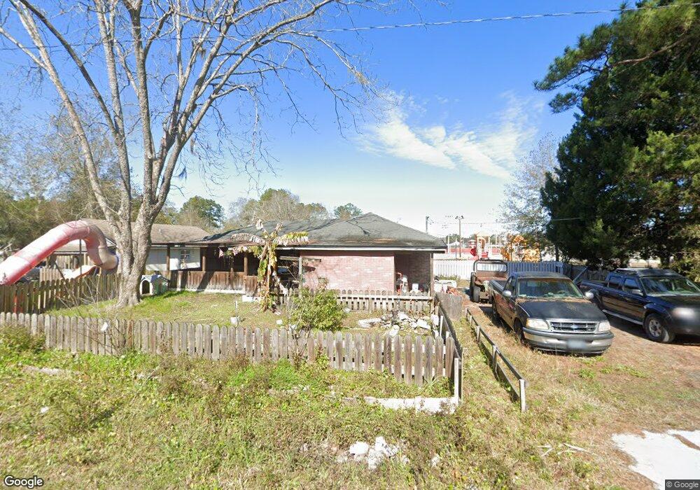
413 W 8th Ave MacClenny, FL 32063
Estimated Value: $245,669 - $302,000
Studio
2
Baths
1,791
Sq Ft
$157/Sq Ft
Est. Value
About This Home
This home is located at 413 W 8th Ave, MacClenny, FL 32063 and is currently estimated at $280,667, approximately $156 per square foot. 413 W 8th Ave is a home located in Baker County with nearby schools including Keller Intermediate School, MacClenny Elementary School, and Baker County Middle School.
Ownership History
Date
Name
Owned For
Owner Type
Purchase Details
Closed on
Apr 24, 2006
Sold by
Pembelton David R and Pembleton David R
Bought by
Pembelton David R
Current Estimated Value
Home Financials for this Owner
Home Financials are based on the most recent Mortgage that was taken out on this home.
Original Mortgage
$130,050
Outstanding Balance
$82,947
Interest Rate
8.55%
Mortgage Type
Unknown
Estimated Equity
$197,720
Purchase Details
Closed on
Jul 9, 2002
Sold by
Thomas Carolyn Annette and Starling Riley Lee
Bought by
Pembleton David R
Home Financials for this Owner
Home Financials are based on the most recent Mortgage that was taken out on this home.
Original Mortgage
$46,000
Interest Rate
6.67%
Purchase Details
Closed on
May 29, 2001
Sold by
Ratliff Alma S
Bought by
Thomas Carolyn Annette
Create a Home Valuation Report for This Property
The Home Valuation Report is an in-depth analysis detailing your home's value as well as a comparison with similar homes in the area
Home Values in the Area
Average Home Value in this Area
Purchase History
| Date | Buyer | Sale Price | Title Company |
|---|---|---|---|
| Pembelton David R | -- | Mortgage Information Service | |
| Pembleton David R | $50,000 | Osceola Land Title Inc | |
| Thomas Carolyn Annette | -- | -- |
Source: Public Records
Mortgage History
| Date | Status | Borrower | Loan Amount |
|---|---|---|---|
| Open | Pembelton David R | $130,050 | |
| Closed | Pembleton David R | $46,000 |
Source: Public Records
Tax History
| Year | Tax Paid | Tax Assessment Tax Assessment Total Assessment is a certain percentage of the fair market value that is determined by local assessors to be the total taxable value of land and additions on the property. | Land | Improvement |
|---|---|---|---|---|
| 2025 | $1,940 | $147,100 | -- | -- |
| 2024 | $1,819 | $137,817 | -- | -- |
| 2023 | $1,734 | $129,203 | $0 | $0 |
| 2022 | $1,632 | $121,258 | $0 | $0 |
| 2021 | $1,296 | $113,925 | $0 | $0 |
| 2020 | $1,240 | $109,981 | $0 | $0 |
| 2019 | $1,147 | $104,296 | $0 | $0 |
| 2018 | $1,103 | $134,515 | $0 | $0 |
| 2017 | $1,062 | $130,038 | $0 | $0 |
| 2016 | $1,030 | $125,272 | $0 | $0 |
| 2015 | $999 | $118,372 | $0 | $0 |
| 2014 | $982 | $115,828 | $0 | $0 |
Source: Public Records
Map
Nearby Homes
- 639 W Ohio Ave
- 553 Lissie Ct
- 718 Eagle Dr
- 524 W Railroad Ave
- No address Highway 90
- 369 Owen Acres Dr
- 551 Heritage Crossing
- 113 W Ohio Ave
- 724 Liberty Cir
- 431 Linda St
- 570 Independence Dr
- 583 Heritage Crossing
- 5661 Irvin St
- 47 N 5th St
- 594 Independence Dr
- 801 N Lowder St
- 34 N College St
- 423 South Blvd W
- 820 Golf Club Rd
- 0 6th St
Your Personal Tour Guide
Ask me questions while you tour the home.