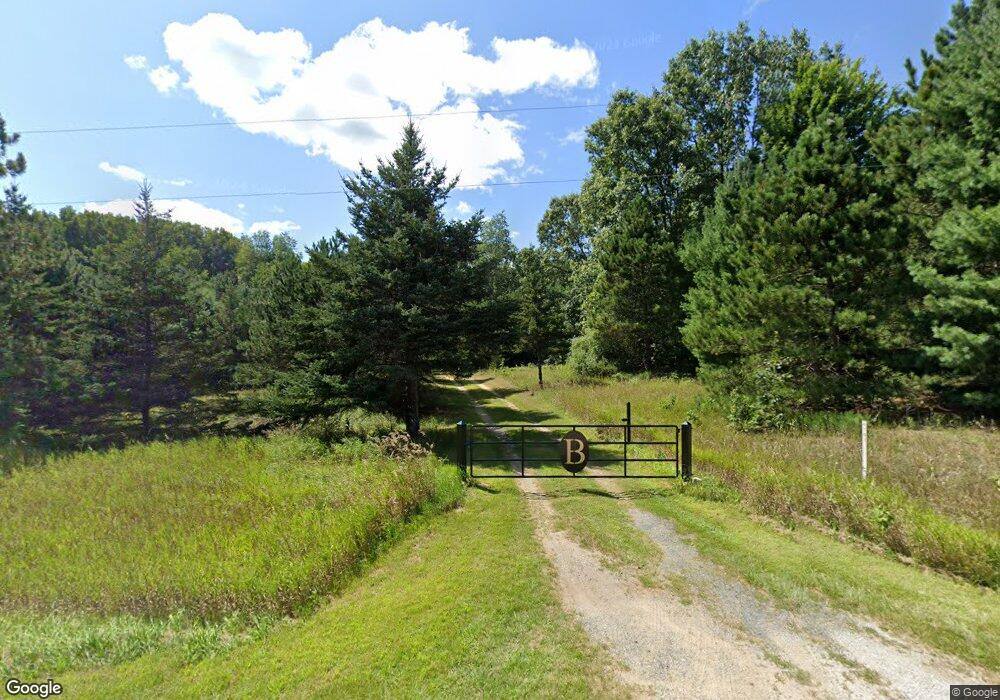
4141 S Custer Rd Custer, MI 49405
Estimated Value: $399,000 - $553,141
Studio
1
Bath
3,472
Sq Ft
$135/Sq Ft
Est. Value
About This Home
This home is located at 4141 S Custer Rd, Custer, MI 49405 and is currently estimated at $467,714, approximately $134 per square foot. 4141 S Custer Rd is a home located in Mason County with nearby schools including Mason County Eastern Elementary School, Mason County Eastern Middle/High School, and Pine Grove School.
Ownership History
Date
Name
Owned For
Owner Type
Purchase Details
Closed on
Jan 24, 2023
Sold by
Bradshaw Paul R
Bought by
Paul R And Darlene E Bradshaw Trust
Current Estimated Value
Home Financials for this Owner
Home Financials are based on the most recent Mortgage that was taken out on this home.
Original Mortgage
$150,000
Outstanding Balance
$145,111
Interest Rate
6.31%
Mortgage Type
Seller Take Back
Estimated Equity
$322,603
Purchase Details
Closed on
May 3, 2017
Sold by
Bradshaw Darlene E and Bradshaw Paul R
Bought by
Bradshaw Paul R and Bradshaw Darlene E
Purchase Details
Closed on
Jul 27, 2016
Sold by
Bradshaw Robert L and Bradshaw Patricia M
Bought by
Bradshaw Robert L and Bradshaw Patricia M
Create a Home Valuation Report for This Property
The Home Valuation Report is an in-depth analysis detailing your home's value as well as a comparison with similar homes in the area
Purchase History
| Date | Buyer | Sale Price | Title Company |
|---|---|---|---|
| Paul R And Darlene E Bradshaw Trust | -- | -- | |
| Bradshaw Paul R | $225,000 | -- | |
| Bradshaw Patricia M | -- | -- | |
| Bradshaw Paul R | -- | None Available | |
| Bradshaw Robert L | -- | Attorney | |
| Bradshaw Robert L | -- | Attorney |
Source: Public Records
Mortgage History
| Date | Status | Borrower | Loan Amount |
|---|---|---|---|
| Open | Bradshaw Paul R | $150,000 |
Source: Public Records
Tax History
| Year | Tax Paid | Tax Assessment Tax Assessment Total Assessment is a certain percentage of the fair market value that is determined by local assessors to be the total taxable value of land and additions on the property. | Land | Improvement |
|---|---|---|---|---|
| 2025 | $4,829 | $282,800 | $282,800 | $0 |
| 2024 | -- | $252,200 | $252,200 | $0 |
| 2023 | -- | $215,400 | $215,400 | $0 |
| 2022 | -- | $186,700 | $0 | $0 |
| 2021 | $3,090 | $149,000 | $0 | $0 |
| 2020 | $3,090 | $141,900 | $0 | $0 |
Source: Public Records
Map
Nearby Homes
- 2714 E Hawley Rd
- 2577 S Custer Rd
- 3985 Indian Trail Rd
- 6270 S Woods Trail
- Lot 108 Stella St
- 2233 E Marrison Rd
- 1316,28&70 E Chauvez Rd
- 4993 Wetland Trail Unit 293
- 6662 Lorne Dr
- V/L Kissing Oak Unit 164
- 5121 Oak Ln
- 5056 E Sassafras Ln
- V/L Meadowview Trail Unit 167
- 4977 E Buck Rub Rd
- 6270 Woods Trail
- 6389 Woods Trail Unit 143
- N Stephens Rd
- 1384 W Chauvez Rd
- LOT B Hogenson
- 0 W Waters Edge Dr Unit 10 25037308
- 4246 S Custer Rd
- 4344 S Custer Rd
- 3929 S Custer Rd
- 3929 S Custer Rd
- 4486 S Custer Rd
- 2024 E Hawley Rd
- 4574 S Custer Rd
- 4631 S Custer Rd
- 4626 S Custer Rd
- 2685 E Hawley Rd
- 1887 E Hawley Rd
- 1918 E Hawley Rd
- 4690 S Custer Rd
- 2828 E Hawley Rd
- 1765 E Hawley Rd
- 2205 E Kinney Rd
- 2385 E Kinney Rd
- 40 Acres E Hawley Rd
- 2101 E Kinney Rd
- 2867 E Hawley Rd
