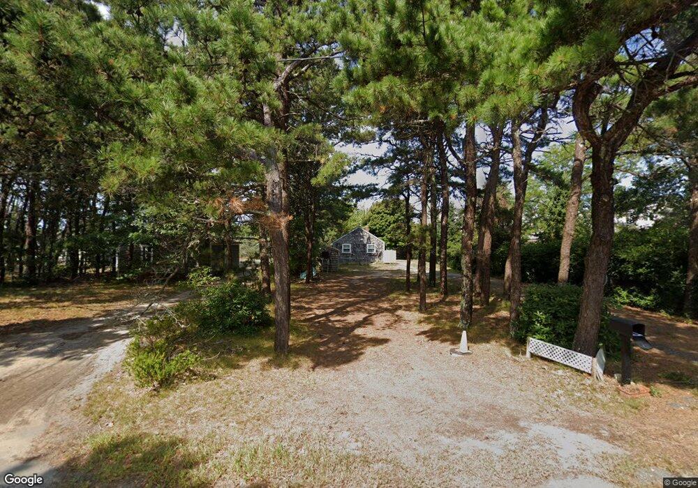
419 Monomoscoy Rd Mashpee, MA 02649
Monomoscoy Island NeighborhoodEstimated Value: $1,006,000 - $1,841,000
2
Beds
1
Bath
700
Sq Ft
$1,943/Sq Ft
Est. Value
About This Home
This home is located at 419 Monomoscoy Rd, Mashpee, MA 02649 and is currently estimated at $1,359,802, approximately $1,942 per square foot. 419 Monomoscoy Rd is a home located in Barnstable County with nearby schools including Kenneth C. Coombs School, Quashnet School, and Mashpee Middle School.
Ownership History
Date
Name
Owned For
Owner Type
Purchase Details
Closed on
May 11, 2016
Sold by
Wightman Walter S
Bought by
Walter S M Wightman T
Current Estimated Value
Purchase Details
Closed on
Oct 27, 1993
Sold by
Rebstock Alfred B
Bought by
Wightman Walter S
Home Financials for this Owner
Home Financials are based on the most recent Mortgage that was taken out on this home.
Original Mortgage
$128,000
Interest Rate
6.86%
Mortgage Type
Purchase Money Mortgage
Create a Home Valuation Report for This Property
The Home Valuation Report is an in-depth analysis detailing your home's value as well as a comparison with similar homes in the area
Home Values in the Area
Average Home Value in this Area
Purchase History
| Date | Buyer | Sale Price | Title Company |
|---|---|---|---|
| Walter S M Wightman T | -- | -- | |
| Wightman Walter S | $80,000 | -- | |
| Wightman Walter S | $8,000 | -- |
Source: Public Records
Mortgage History
| Date | Status | Borrower | Loan Amount |
|---|---|---|---|
| Previous Owner | Wightman Walter S | $128,000 |
Source: Public Records
Tax History Compared to Growth
Tax History
| Year | Tax Paid | Tax Assessment Tax Assessment Total Assessment is a certain percentage of the fair market value that is determined by local assessors to be the total taxable value of land and additions on the property. | Land | Improvement |
|---|---|---|---|---|
| 2025 | $8,190 | $1,237,200 | $1,053,000 | $184,200 |
| 2024 | $8,405 | $1,307,100 | $1,131,500 | $175,600 |
| 2023 | $8,625 | $1,230,400 | $1,077,400 | $153,000 |
| 2022 | $8,234 | $1,007,800 | $875,900 | $131,900 |
| 2021 | $3,060 | $635,500 | $515,900 | $119,600 |
| 2020 | $5,573 | $613,100 | $496,200 | $116,900 |
| 2019 | $5,509 | $608,700 | $496,200 | $112,500 |
| 2018 | $2,796 | $631,600 | $525,300 | $106,300 |
| 2017 | $5,763 | $627,100 | $525,300 | $101,800 |
| 2016 | $6,289 | $680,600 | $583,700 | $96,900 |
| 2015 | $6,662 | $731,300 | $636,300 | $95,000 |
| 2014 | $6,060 | $645,400 | $550,900 | $94,500 |
Source: Public Records
Map
Nearby Homes
- 421 Monomoscoy Rd
- 421 Monomoscoy Rd Unit 1
- 415 Monomoscoy Rd
- 417 Monomoscoy Rd
- 423 Monomoscoy Rd
- 411 Monomoscoy Rd
- 425 Monomoscoy Rd
- 409 Monomoscoy Rd
- 416 Monomoscoy Rd
- 429 Monomoscoy Rd
- 407 Monomoscoy Rd
- 431 Monomoscoy Rd
- 414 Monomoscoy Rd
- 428 Monomoscoy Rd
- 422 Monomoscoy Rd
- 426 Monomoscoy Rd
- 401 Monomoscoy Rd
- 410 Monomoscoy Rd
- 399 Monomoscoy Rd
- 408 Monomoscoy Rd