42 Buckingham Ridge Rd Wilton, CT 06897
Estimated Value: $1,022,741 - $1,206,000
4
Beds
3
Baths
2,240
Sq Ft
$493/Sq Ft
Est. Value
About This Home
This home is located at 42 Buckingham Ridge Rd, Wilton, CT 06897 and is currently estimated at $1,105,185, approximately $493 per square foot. 42 Buckingham Ridge Rd is a home located in Fairfield County with nearby schools including Miller-Driscoll School, Cider Mill School, and Middlebrook School.
Ownership History
Date
Name
Owned For
Owner Type
Purchase Details
Closed on
Mar 1, 2001
Sold by
Blain William and Blain Constance
Bought by
Tuzza Joe and Calabrese Ornella
Current Estimated Value
Create a Home Valuation Report for This Property
The Home Valuation Report is an in-depth analysis detailing your home's value as well as a comparison with similar homes in the area
Home Values in the Area
Average Home Value in this Area
Purchase History
| Date | Buyer | Sale Price | Title Company |
|---|---|---|---|
| Tuzza Joe | $550,000 | -- |
Source: Public Records
Mortgage History
| Date | Status | Borrower | Loan Amount |
|---|---|---|---|
| Open | Tuzza Joe | $372,000 | |
| Closed | Tuzza Joe | $50,000 | |
| Closed | Tuzza Joe | $300,000 |
Source: Public Records
Tax History Compared to Growth
Tax History
| Year | Tax Paid | Tax Assessment Tax Assessment Total Assessment is a certain percentage of the fair market value that is determined by local assessors to be the total taxable value of land and additions on the property. | Land | Improvement |
|---|---|---|---|---|
| 2025 | $13,929 | $570,640 | $316,400 | $254,240 |
| 2024 | $13,661 | $570,640 | $316,400 | $254,240 |
| 2023 | $13,328 | $455,490 | $302,540 | $152,950 |
| 2022 | $12,858 | $455,490 | $302,540 | $152,950 |
| 2021 | $12,695 | $455,490 | $302,540 | $152,950 |
| 2020 | $12,508 | $455,490 | $302,540 | $152,950 |
| 2019 | $6,771 | $455,490 | $302,540 | $152,950 |
| 2018 | $12,396 | $439,740 | $317,800 | $121,940 |
| 2017 | $12,212 | $439,740 | $317,800 | $121,940 |
| 2016 | $12,022 | $439,740 | $317,800 | $121,940 |
| 2015 | $11,798 | $439,740 | $317,800 | $121,940 |
| 2014 | $11,658 | $439,740 | $317,800 | $121,940 |
Source: Public Records
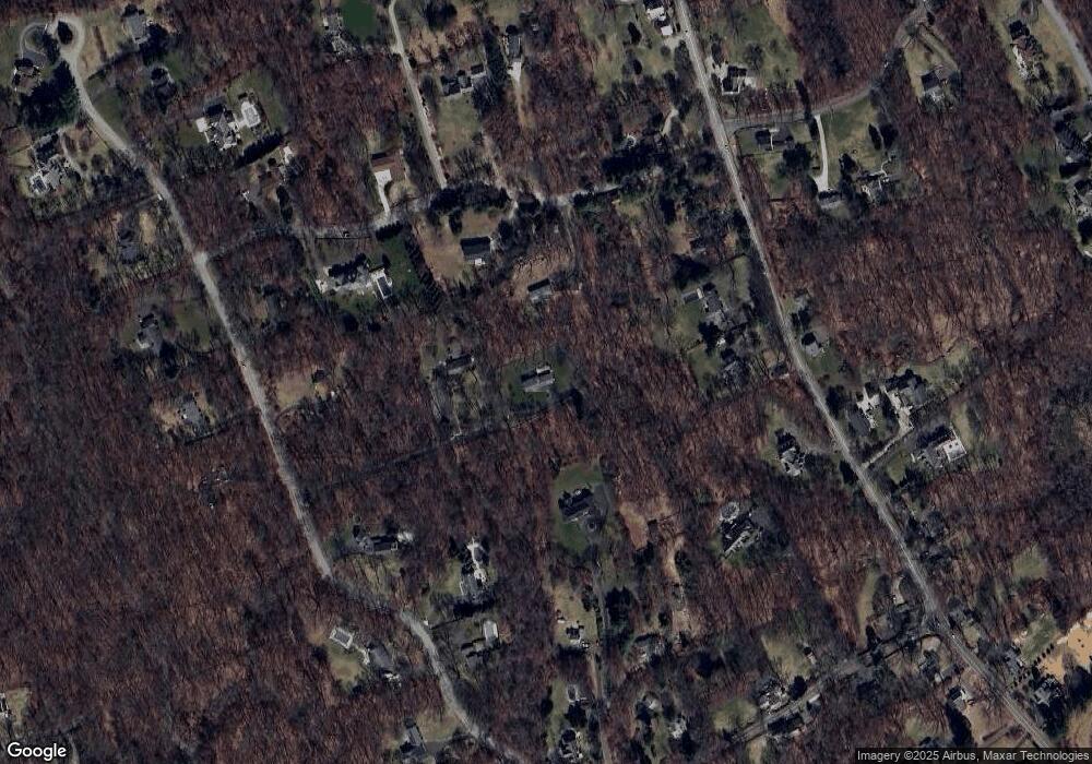
Map
Nearby Homes
- 55 Liberty St
- 185 Sturges Ridge Rd
- 76 Sturges Ridge Rd
- 30 Coley Rd
- 41 Calvin Rd
- 110 Dudley Rd
- 33 Cannon Rd
- 15 River Rd Unit STE 210
- 20 Wilton Crest Unit 20
- 36 Wilton Crest Unit 36
- 84 Wilton Crest Rd Unit 84
- 35 Village Walk
- 52 Glen Ridge
- 335 Georgetown Rd
- 10 Wilton Hunt Rd
- 81 Graenest Ridge Rd
- 4 Trails End Rd
- 326 Georgetown Rd
- 30 Black Alder Ln
- 93 E Meadow Rd
- 17 Friendlee Ln
- 202 Sharp Hill Rd
- 25 Friendlee Ln
- 39 Friendlee Ln
- 169 Hurlbutt St
- 175 Hurlbutt St
- 161 Hurlbutt St
- 230 Sharp Hill Rd
- 187 Hurlbutt St
- 204 Sharp Hill Rd
- 30 Buckingham Ridge Rd
- 24 Buckingham Ridge Rd
- 162 Hurlbutt St
- 12 Buckingham Ridge Rd
- 158 Hurlbutt St
- 25 Buckingham Ridge Rd
- 38 Friendlee Ln
- 26 Friendlee Ln
- 62 Buckingham Ridge Rd
- 57 Buckingham Ridge Rd