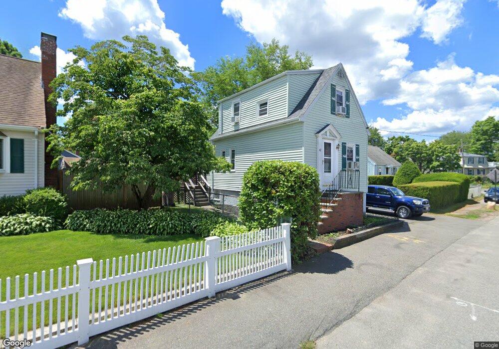
42 Hillcrest Ave Dedham, MA 02026
Riverdale NeighborhoodEstimated Value: $555,753 - $603,000
2
Beds
1
Bath
935
Sq Ft
$618/Sq Ft
Est. Value
About This Home
This home is located at 42 Hillcrest Ave, Dedham, MA 02026 and is currently estimated at $577,438, approximately $617 per square foot. 42 Hillcrest Ave is a home located in Norfolk County with nearby schools including Riverdale Elementary School, Dedham Middle School, and Dedham High School.
Ownership History
Date
Name
Owned For
Owner Type
Purchase Details
Closed on
Dec 4, 1998
Sold by
Reissfelder Richard and Reissfelder Christine
Bought by
Gallagher Charles and Gallagher Noreen
Current Estimated Value
Home Financials for this Owner
Home Financials are based on the most recent Mortgage that was taken out on this home.
Original Mortgage
$146,300
Interest Rate
6.68%
Mortgage Type
Purchase Money Mortgage
Purchase Details
Closed on
Jan 19, 1993
Sold by
Washburn David R
Bought by
Reissfelder Richard W and Reissfelder Chris
Home Financials for this Owner
Home Financials are based on the most recent Mortgage that was taken out on this home.
Original Mortgage
$103,246
Interest Rate
8.3%
Mortgage Type
Purchase Money Mortgage
Create a Home Valuation Report for This Property
The Home Valuation Report is an in-depth analysis detailing your home's value as well as a comparison with similar homes in the area
Home Values in the Area
Average Home Value in this Area
Purchase History
| Date | Buyer | Sale Price | Title Company |
|---|---|---|---|
| Gallagher Charles | $154,000 | -- | |
| Reissfelder Richard W | $111,000 | -- |
Source: Public Records
Mortgage History
| Date | Status | Borrower | Loan Amount |
|---|---|---|---|
| Open | Reissfelder Richard W | $180,000 | |
| Closed | Reissfelder Richard W | $146,300 | |
| Previous Owner | Reissfelder Richard W | $103,246 |
Source: Public Records
Tax History
| Year | Tax Paid | Tax Assessment Tax Assessment Total Assessment is a certain percentage of the fair market value that is determined by local assessors to be the total taxable value of land and additions on the property. | Land | Improvement |
|---|---|---|---|---|
| 2025 | $6,403 | $507,400 | $334,800 | $172,600 |
| 2024 | $5,898 | $471,800 | $303,700 | $168,100 |
| 2023 | $5,641 | $439,300 | $275,000 | $164,300 |
| 2022 | $5,356 | $401,200 | $258,200 | $143,000 |
| 2021 | $4,934 | $360,900 | $239,100 | $121,800 |
| 2020 | $4,950 | $360,800 | $239,100 | $121,700 |
| 2019 | $4,626 | $326,900 | $207,900 | $119,000 |
| 2018 | $4,438 | $305,000 | $182,400 | $122,600 |
| 2017 | $4,251 | $288,000 | $170,900 | $117,100 |
| 2016 | $4,094 | $264,300 | $158,200 | $106,100 |
| 2015 | $4,053 | $255,400 | $155,800 | $99,600 |
| 2014 | $3,959 | $246,200 | $153,000 | $93,200 |
Source: Public Records
Map
Nearby Homes
- 147 Pine St
- 45 Commonwealth Ave
- 56 Riverview St
- 27 Pine St
- 63 Dixon Ave
- 75 Bingham Ave
- 1515 Vfw Pkwy Unit M19
- 342 Needham St
- 50 Trimount St
- 570 Bridge St
- 18 Hemlock Rd
- 41 Vogel St
- 17 Vogel St
- 15 Vogel St
- 69 Keystone St Unit 1
- 47 Bemis Rd
- 71 Joyce Kilmer Rd
- 33 Paragon Rd
- 8 Sumner St
- 92 Old River Place
Your Personal Tour Guide
Ask me questions while you tour the home.