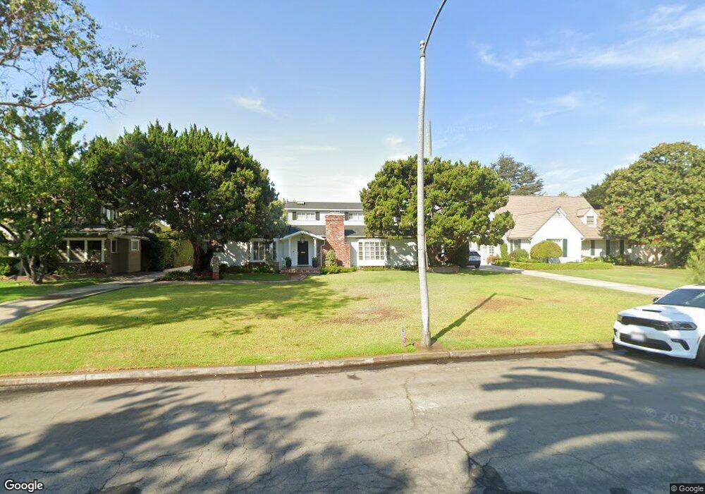
4205 N Virginia Rd Long Beach, CA 90807
Los Cerritos NeighborhoodEstimated Value: $1,410,000 - $2,189,000
4
Beds
3
Baths
3,152
Sq Ft
$578/Sq Ft
Est. Value
About This Home
This home is located at 4205 N Virginia Rd, Long Beach, CA 90807 and is currently estimated at $1,822,643, approximately $578 per square foot. 4205 N Virginia Rd is a home located in Los Angeles County with nearby schools including Los Cerritos Elementary School, Hughes Middle School, and Long Beach Polytechnic High School.
Ownership History
Date
Name
Owned For
Owner Type
Purchase Details
Closed on
Nov 7, 2005
Sold by
Brewster Philip R
Bought by
Brewster Philip R and Brewster Geri A
Current Estimated Value
Purchase Details
Closed on
May 19, 2000
Sold by
Stewart Glen L
Bought by
Brewster Philip R and Brewster Geri A
Home Financials for this Owner
Home Financials are based on the most recent Mortgage that was taken out on this home.
Original Mortgage
$400,000
Interest Rate
8.63%
Create a Home Valuation Report for This Property
The Home Valuation Report is an in-depth analysis detailing your home's value as well as a comparison with similar homes in the area
Home Values in the Area
Average Home Value in this Area
Purchase History
| Date | Buyer | Sale Price | Title Company |
|---|---|---|---|
| Brewster Philip R | -- | -- | |
| Brewster Philip R | $660,000 | Guardian Title Company |
Source: Public Records
Mortgage History
| Date | Status | Borrower | Loan Amount |
|---|---|---|---|
| Previous Owner | Brewster Philip R | $400,000 |
Source: Public Records
Tax History
| Year | Tax Paid | Tax Assessment Tax Assessment Total Assessment is a certain percentage of the fair market value that is determined by local assessors to be the total taxable value of land and additions on the property. | Land | Improvement |
|---|---|---|---|---|
| 2025 | $12,597 | $994,410 | $421,908 | $572,502 |
| 2024 | $12,597 | $974,913 | $413,636 | $561,277 |
| 2023 | $12,390 | $955,798 | $405,526 | $550,272 |
| 2022 | $11,631 | $937,058 | $397,575 | $539,483 |
| 2021 | $11,397 | $918,685 | $389,780 | $528,905 |
| 2019 | $11,233 | $891,438 | $378,220 | $513,218 |
| 2018 | $10,883 | $873,959 | $370,804 | $503,155 |
| 2016 | $9,996 | $840,024 | $356,406 | $483,618 |
| 2015 | $9,590 | $827,407 | $351,053 | $476,354 |
| 2014 | $9,517 | $811,200 | $344,177 | $467,023 |
Source: Public Records
Map
Nearby Homes
- 4202 Locust Ave
- 4321 N Country Club Ln
- 3939 N Virginia Rd Unit 312
- 4217 Cedar Ave
- 30 La Linda Dr
- 4392 Elm Ave
- 3908 Elm Ave
- 421 E Roosevelt Rd
- 630 W Devon Place
- 3824 Elm Ave
- 4415 Lime Ave
- 3813 Cedar Ave
- 627 Avery Place
- 3805 Linden Ave
- 3729 N Weston Place
- 4220 N Virginia Vista
- 4485 Myrtle Ave
- 4420 Myrtle Ave
- 3930 Myrtle Ave
- 3640 Pine Ave
- 4219 N Virginia Rd
- 4201 N Virginia Rd
- 211 E San Antonio Dr
- 4224 Locust Ave
- 4226 Locust Ave
- 4229 N Virginia Rd Unit B
- 4229 N Virginia Rd
- 4210 N Virginia Rd
- 4200 N Virginia Rd
- 4220 N Virginia Rd
- 4141 N Virginia Rd
- 4238 Locust Ave
- 4231 N Virginia Rd
- 4224 N Virginia Rd
- 4125 N Virginia Rd
- 4205 Locust Ave
- 4242 Locust Ave
- 3913 N North Virginia Rd Unit 203
- 4160 Locust Ave
Your Personal Tour Guide
Ask me questions while you tour the home.