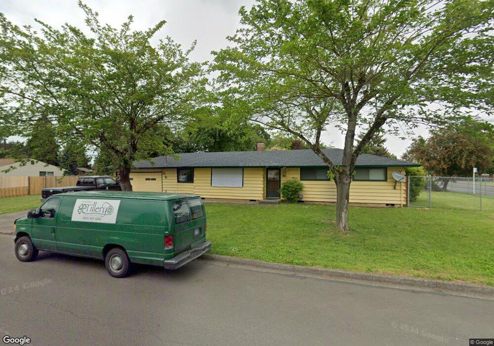
4211 Knoop Ave Eugene, OR 97402
Bethel NeighborhoodEstimated Value: $373,768 - $390,000
3
Beds
2
Baths
1,356
Sq Ft
$281/Sq Ft
Est. Value
About This Home
This home is located at 4211 Knoop Ave, Eugene, OR 97402 and is currently estimated at $381,442, approximately $281 per square foot. 4211 Knoop Ave is a home located in Lane County with nearby schools including Malabon Elementary School, Cascade Middle School, and Willamette High School.
Ownership History
Date
Name
Owned For
Owner Type
Purchase Details
Closed on
Sep 23, 2015
Sold by
Hover Valerie
Bought by
Steele Ronald S and Steele Ron
Current Estimated Value
Home Financials for this Owner
Home Financials are based on the most recent Mortgage that was taken out on this home.
Original Mortgage
$136,000
Outstanding Balance
$106,488
Interest Rate
3.9%
Mortgage Type
New Conventional
Estimated Equity
$274,954
Create a Home Valuation Report for This Property
The Home Valuation Report is an in-depth analysis detailing your home's value as well as a comparison with similar homes in the area
Home Values in the Area
Average Home Value in this Area
Purchase History
| Date | Buyer | Sale Price | Title Company |
|---|---|---|---|
| Steele Ronald S | $170,000 | First American Title |
Source: Public Records
Mortgage History
| Date | Status | Borrower | Loan Amount |
|---|---|---|---|
| Open | Steele Ronald S | $136,000 |
Source: Public Records
Tax History
| Year | Tax Paid | Tax Assessment Tax Assessment Total Assessment is a certain percentage of the fair market value that is determined by local assessors to be the total taxable value of land and additions on the property. | Land | Improvement |
|---|---|---|---|---|
| 2025 | $3,061 | $175,953 | -- | -- |
| 2024 | $2,983 | $170,829 | -- | -- |
| 2023 | $2,983 | $165,854 | $0 | $0 |
| 2022 | $2,777 | $161,024 | $0 | $0 |
| 2021 | $2,719 | $156,334 | $0 | $0 |
| 2020 | $2,639 | $151,781 | $0 | $0 |
| 2019 | $2,510 | $147,361 | $0 | $0 |
| 2018 | $2,439 | $138,902 | $0 | $0 |
| 2017 | $2,331 | $138,902 | $0 | $0 |
| 2016 | $2,272 | $134,856 | $0 | $0 |
| 2015 | $2,227 | $130,928 | $0 | $0 |
| 2014 | $2,193 | $127,115 | $0 | $0 |
Source: Public Records
Map
Nearby Homes
- 4448 Knoop Ave
- 1153 Elizabeth St
- 4055 Royal Ave Unit 93
- 4055 Royal Ave Unit 30
- 4055 Royal Ave Unit 22
- 4055 Royal Ave Unit 150
- 4055 Royal Ave Unit 69
- 4055 Royal Ave Unit 87
- 795 Red Cedar Ct
- 4280 Avalon St
- 3970 Marshall Ave
- 870 Laurelhurst Dr
- 4041 Bell Ave
- 4548 Cambon St
- 647 Ellsworth St
- 4554 Woodsboro St
- 4285 Fergus Ave
- 1385 Taney St
- 4467 Fergus Ave
- 1562 Philip St
- 4241 Knoop Ave
- 1050 Echo Hollow Rd
- 1081 Echo Hollow Rd
- 1091 Echo Hollow Rd
- 4232 Knoop Ave
- 1040 Echo Hollow Rd
- 1053 Echo Hollow Rd
- 1107 Echo Hollow Rd
- 1116 Echo Hollow Rd
- 4262 Knoop Ave
- 1039 Echo Hollow Rd
- 1120 Echo Hollow Rd
- 4255 Flagstaff St
- 1020 Echo Hollow Rd
- 1033 Elizabeth St
- 1073 Echo Hollow Rd
- 1093 Echo Hollow Rd
- 1073 Elizabeth St
- 1067 Echo Hollow Rd
- 1099 Echo Hollow Rd
Your Personal Tour Guide
Ask me questions while you tour the home.