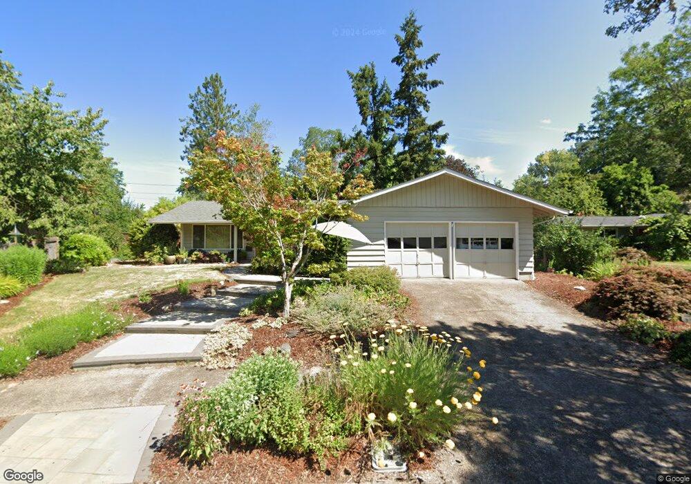
4220 Ferry St Eugene, OR 97405
Southeast Eugene NeighborhoodEstimated Value: $467,542 - $502,000
3
Beds
2
Baths
1,384
Sq Ft
$349/Sq Ft
Est. Value
About This Home
This home is located at 4220 Ferry St, Eugene, OR 97405 and is currently estimated at $483,386, approximately $349 per square foot. 4220 Ferry St is a home located in Lane County with nearby schools including Edgewood Community Elementary School, Spencer Butte Middle School, and South Eugene High School.
Ownership History
Date
Name
Owned For
Owner Type
Purchase Details
Closed on
Dec 14, 2006
Sold by
Reicher Aaron H and Staunau Yasmin
Bought by
Mcconnell Mary Caroline and Pflum Denise Ann
Current Estimated Value
Home Financials for this Owner
Home Financials are based on the most recent Mortgage that was taken out on this home.
Original Mortgage
$140,000
Outstanding Balance
$13,853
Interest Rate
6.32%
Mortgage Type
Purchase Money Mortgage
Estimated Equity
$469,533
Purchase Details
Closed on
Mar 22, 2005
Sold by
Reicher Aaron H and Stauman Yasmin
Bought by
Reicher Aaron H and Stauman Yasmin
Create a Home Valuation Report for This Property
The Home Valuation Report is an in-depth analysis detailing your home's value as well as a comparison with similar homes in the area
Home Values in the Area
Average Home Value in this Area
Purchase History
| Date | Buyer | Sale Price | Title Company |
|---|---|---|---|
| Mcconnell Mary Caroline | $273,400 | Cascade Title Co | |
| Reicher Aaron H | -- | Western Pioneer Title Co |
Source: Public Records
Mortgage History
| Date | Status | Borrower | Loan Amount |
|---|---|---|---|
| Open | Mcconnell Mary Caroline | $140,000 |
Source: Public Records
Tax History
| Year | Tax Paid | Tax Assessment Tax Assessment Total Assessment is a certain percentage of the fair market value that is determined by local assessors to be the total taxable value of land and additions on the property. | Land | Improvement |
|---|---|---|---|---|
| 2025 | $4,683 | $240,338 | -- | -- |
| 2024 | $4,624 | $233,338 | -- | -- |
| 2023 | $4,624 | $226,542 | $0 | $0 |
| 2022 | $4,332 | $219,944 | $0 | $0 |
| 2021 | $4,069 | $213,538 | $0 | $0 |
| 2020 | $4,083 | $207,319 | $0 | $0 |
| 2019 | $3,944 | $201,281 | $0 | $0 |
| 2018 | $3,712 | $189,727 | $0 | $0 |
| 2017 | $3,546 | $189,727 | $0 | $0 |
| 2016 | $3,458 | $184,201 | $0 | $0 |
| 2015 | $3,321 | $178,836 | $0 | $0 |
| 2014 | $3,237 | $173,627 | $0 | $0 |
Source: Public Records
Map
Nearby Homes
- 4295 Ferry St
- 4023 Donald St Unit K
- 434 E 39th Ave
- 4425 Hilyard St
- 170 E 40th Ave
- 0 E 39th Ave
- 275 E 39th Ave
- 4320 Fox Hollow Rd
- 4364 Fox Hollow Rd
- 910 E 43rd Ave
- 4734 Brookwood St
- 4845 Brookwood St
- 17 Westbrook Way
- 4429 Fox Hollow Rd Unit 3
- 21 Westbrook Way
- 36 Westbrook Way
- 3817 E Amazon Dr
- 555 Stafford Ct
- 585 E 36th Ave
- 278 Rockridge Ct
Your Personal Tour Guide
Ask me questions while you tour the home.