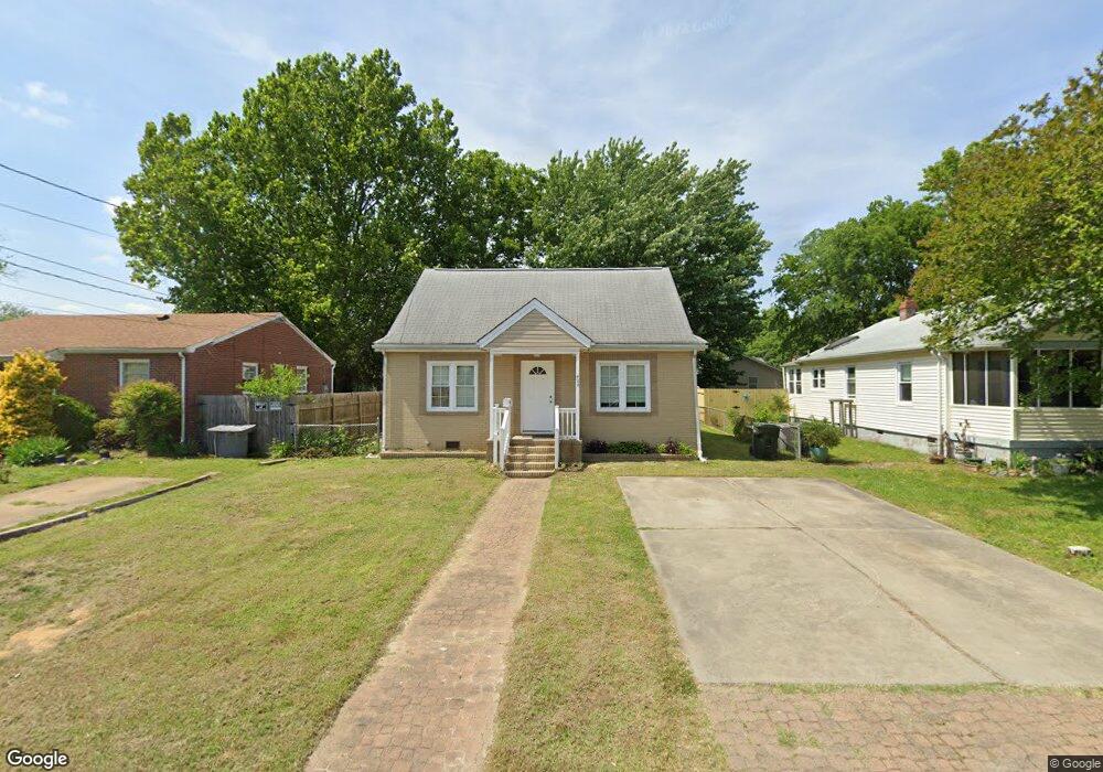
424 Benthall Rd Hampton, VA 23664
Buckroe Beach NeighborhoodEstimated Value: $213,000 - $251,000
4
Beds
1
Bath
1,548
Sq Ft
$151/Sq Ft
Est. Value
About This Home
This home is located at 424 Benthall Rd, Hampton, VA 23664 and is currently estimated at $234,509, approximately $151 per square foot. 424 Benthall Rd is a home located in Hampton City with nearby schools including Francis Asbury Elementary School, Benjamin Syms Middle School, and Phoebus High School.
Ownership History
Date
Name
Owned For
Owner Type
Purchase Details
Closed on
Sep 25, 2015
Sold by
Abc Housing Llc
Bought by
Gill And Sidhu Llc
Current Estimated Value
Purchase Details
Closed on
Jul 22, 2015
Sold by
Smith Bernard F
Bought by
Abc Housing Llc
Purchase Details
Closed on
Dec 22, 2014
Sold by
Smith Bernard F
Bought by
Smith Bernard F
Create a Home Valuation Report for This Property
The Home Valuation Report is an in-depth analysis detailing your home's value as well as a comparison with similar homes in the area
Home Values in the Area
Average Home Value in this Area
Purchase History
| Date | Buyer | Sale Price | Title Company |
|---|---|---|---|
| Gill And Sidhu Llc | $92,500 | None Available | |
| Advisory Investments Llc | $53,000 | None Available | |
| Abc Housing Llc | $43,250 | -- | |
| Smith Bernard F | -- | -- |
Source: Public Records
Tax History
| Year | Tax Paid | Tax Assessment Tax Assessment Total Assessment is a certain percentage of the fair market value that is determined by local assessors to be the total taxable value of land and additions on the property. | Land | Improvement |
|---|---|---|---|---|
| 2025 | $2,120 | $178,700 | $55,000 | $123,700 |
| 2024 | $1,908 | $165,900 | $55,000 | $110,900 |
| 2023 | $1,791 | $154,400 | $50,000 | $104,400 |
| 2022 | $1,635 | $138,600 | $42,000 | $96,600 |
| 2021 | $1,645 | $122,200 | $35,000 | $87,200 |
| 2020 | $1,441 | $116,200 | $35,000 | $81,200 |
| 2019 | $1,441 | $116,200 | $35,000 | $81,200 |
| 2018 | $1,496 | $115,100 | $35,000 | $80,100 |
| 2017 | $1,521 | $0 | $0 | $0 |
| 2016 | $1,470 | $111,000 | $0 | $0 |
| 2015 | $1,470 | $0 | $0 | $0 |
| 2014 | $84 | $111,000 | $35,200 | $75,800 |
Source: Public Records
Map
Nearby Homes
- 403 Benthall Rd
- 408 Rogers Ave
- 417 Hunlac Ave
- 449 Benthall Rd
- 309 Benthall Rd
- 205 Benthall Rd
- 1040 Porte Harbour Arch
- 231 Benthall Rd
- 1030 Porte Harbour Arch
- 307 N First St
- 750 N First St
- 1003 High Dunes Quay Unit 101
- 14 Jayne Lee Dr
- 334 N First St Unit 18
- 334 N First St
- 235 N First St
- 774 N First St
- 1031 High Dunes Quay Unit 103
- 13 Fields Dr
- 786 N First St
- 426 Benthall Rd
- 420 Benthall Rd
- 418 Benthall Rd
- 428 Benthall Rd
- 423 Rogers Ave
- 421 Rogers Ave
- 425 Rogers Ave
- 427 Rogers Ave
- 430 Benthall Rd
- 419 Rogers Ave Unit Avenue
- 416 Benthall Rd
- 417 Benthall Rd
- 421 Benthall Rd
- 429 Rogers Ave
- 415 Benthall Rd
- 417 Rogers Ave
- 423 Benthall Rd
- 419 Benthall Rd
- 432 Benthall Rd
- 414 Benthall Rd
Your Personal Tour Guide
Ask me questions while you tour the home.