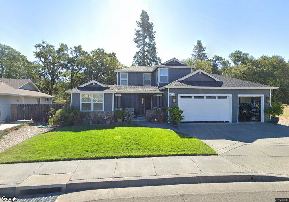
426 Grove St Willits, CA 95490
Estimated Value: $682,688 - $784,000
4
Beds
4
Baths
2,724
Sq Ft
$268/Sq Ft
Est. Value
About This Home
This home is located at 426 Grove St, Willits, CA 95490 and is currently estimated at $729,922, approximately $267 per square foot. 426 Grove St is a home located in Mendocino County with nearby schools including Blosser Lane Elementary School, Brookside Elementary School, and Baechtel Grove Middle School.
Ownership History
Date
Name
Owned For
Owner Type
Purchase Details
Closed on
Nov 29, 2012
Sold by
Mitchell James E and Mitchell Barbara A
Bought by
Nunnemaker Neil R and Nunnemaker Sharon D
Current Estimated Value
Home Financials for this Owner
Home Financials are based on the most recent Mortgage that was taken out on this home.
Original Mortgage
$441,750
Outstanding Balance
$305,483
Interest Rate
3.33%
Mortgage Type
VA
Estimated Equity
$424,439
Purchase Details
Closed on
Jul 12, 2010
Sold by
Bemcore Enterprises Inc
Bought by
Mitchell James E and Mitchell Barbara A
Home Financials for this Owner
Home Financials are based on the most recent Mortgage that was taken out on this home.
Original Mortgage
$365,000
Interest Rate
4.76%
Mortgage Type
Purchase Money Mortgage
Create a Home Valuation Report for This Property
The Home Valuation Report is an in-depth analysis detailing your home's value as well as a comparison with similar homes in the area
Home Values in the Area
Average Home Value in this Area
Purchase History
| Date | Buyer | Sale Price | Title Company |
|---|---|---|---|
| Nunnemaker Neil R | $450,000 | Redwood Empire Title Company | |
| Mitchell James E | $408,000 | Redwood Empire Title Company |
Source: Public Records
Mortgage History
| Date | Status | Borrower | Loan Amount |
|---|---|---|---|
| Open | Nunnemaker Neil R | $441,750 | |
| Previous Owner | Mitchell James E | $365,000 |
Source: Public Records
Tax History
| Year | Tax Paid | Tax Assessment Tax Assessment Total Assessment is a certain percentage of the fair market value that is determined by local assessors to be the total taxable value of land and additions on the property. | Land | Improvement |
|---|---|---|---|---|
| 2025 | $7,103 | $554,130 | $98,509 | $455,621 |
| 2023 | $7,103 | $532,615 | $94,685 | $437,930 |
| 2022 | $6,684 | $522,173 | $92,829 | $429,344 |
| 2021 | $6,641 | $511,935 | $91,009 | $420,926 |
| 2020 | $6,488 | $506,682 | $90,077 | $416,605 |
| 2019 | $6,481 | $496,750 | $88,311 | $408,439 |
| 2018 | $6,167 | $487,013 | $86,580 | $400,433 |
| 2017 | $5,996 | $477,463 | $84,882 | $392,581 |
| 2016 | $5,905 | $468,103 | $83,218 | $384,885 |
| 2015 | $5,816 | $461,075 | $81,969 | $379,106 |
| 2014 | $5,750 | $452,043 | $80,363 | $371,680 |
Source: Public Records
Map
Nearby Homes
- 450 Grove St
- 1655 Hilltop Dr
- 1750 S Main St Unit 37
- 19925 S Main St Unit 13
- 1591 S Main St
- 1407 Brothers Ln
- 19401 Walker Rd Unit 12
- 2580 Center Valley Rd
- 21552 Eva Clair St
- 1242 Poplar Ave
- 0 Poplar Ave Unit 324037613
- 454 Della Ave
- 490 Della Ave
- 0 Muir Mill Rd
- 755 Central Ave
- 21441 Pineview Dr
- 80 Fort Bragg Rd
- 372 S Lenore Ave
- 18800 Walker Rd
- 316 S Main St
Your Personal Tour Guide
Ask me questions while you tour the home.